Road Stream Crossing Site BT_G005
Betsie River Watershed, Mason Creek
M-37
Blair Twp,
Grand Traverse County
Information collected by:
Site Location
GPS Coordinates: 44.63511
, -85.65592
T26N
R11W
Sec 20
Owned by Private
Structure is NOT Perched
Total Erosion: 0.9987 tons/year
Severity: Moderate
Year Inventoried: 2014
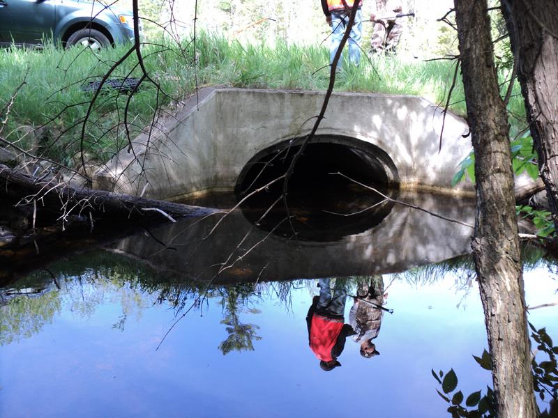
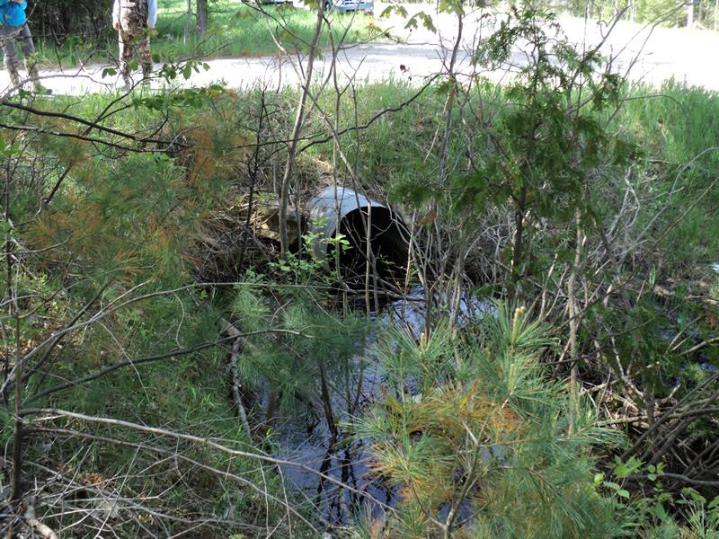
Inlet
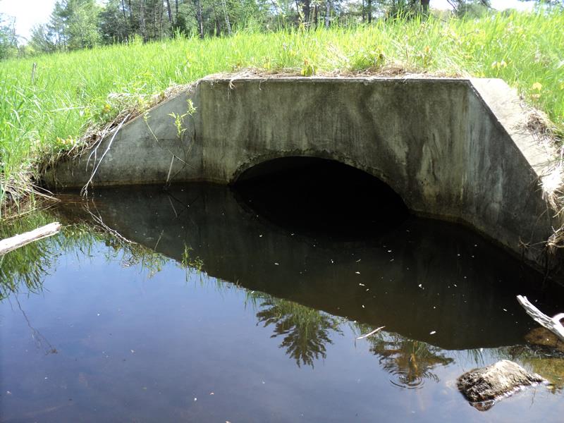
Outlet
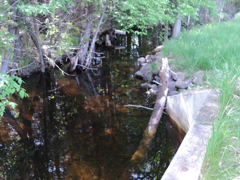
Upstream Conditions
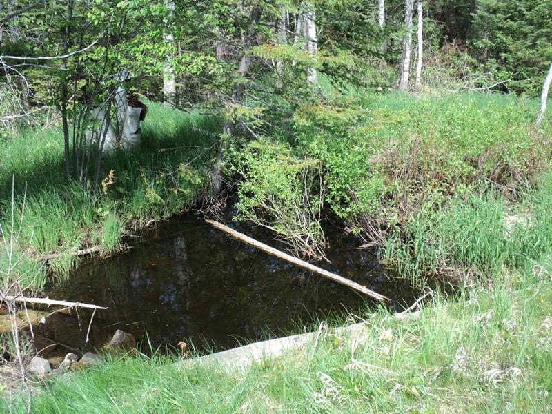
Downstream Conditions
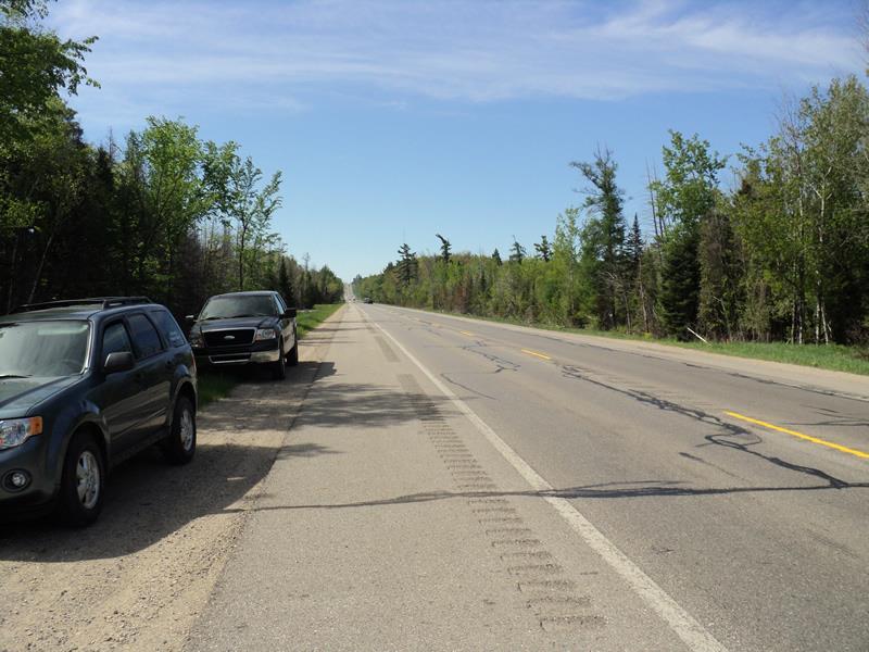
Road Approach - Left
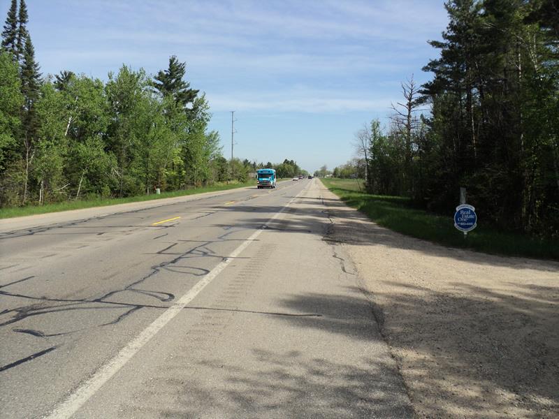
Road Approach - Right
Other
Crossing Information
Type of Crossing: culvert(s)
Number of Structures: 1
Structure Shape: Ellipse
Inlet Type: Apron
Outlet Type: At Stream Grade
Structure Material: Concrete
Structure Substrate: Sand
General Conditions: Good
Structure Interior: smooth
Dimensions of Structure: Length 94 ft.
, Width 4.9 ft.
, Height 3.2 ft.
Structure is NOT Perched
Structure Inlet
Water Depth: 1.8 ft.
Embedded Depth of Structure: 0.1 ft.
Water Velocity*: 0.2 ft./sec.
Structure Outlet
Water Depth: 1.8 ft.
Embedded Depth of Structure: 0.1 ft.
Water Velocity*: 0.2 ft./sec.
*Water Velocities were measured 0.6 ft. below Surface
(with Meter)
Stream Information
Stream Flow: Less than Bankfull
Scour Pool: Length 0 ft.
, Width 0 ft.
, Depth 0 ft.
Upstream Pond: Length 0 ft.
, Width 0 ft.
, Depth 0 ft.
Riffle Information
Water Depth: 1 ft.
Bankfull Width: 13 ft.
Wetted Width: 12 ft.
Water Velocity: 0.8 ft./sec.
(Measured with Meter)
Dominant Substrate: Organics
Road Information
Paved
State Road
Road Condition: Good
Road Width at Culvert: 53 ft.
Location of Low Point: Other
Runoff Path: Ditch
Embankments
Upstream
Fill Depth: 1 ft.
Slope: More than 1:2
Downstream
Fill Depth: 1 ft.
Slope: More than 1:2
Approaches
Left Approach
Length: 1000 ft.
Slope: 1% to 5%
Vegetation: Heavy
LS Factor: 0.57
Erosion: 0.9987 tons/year
Right Approach
Length: 0 ft.
Slope: Less Than 1%
Vegetation: Heavy
LS Factor: 0.05
Erosion: 0 tons/year
Erosion Information
Total Erosion at Crossing: 0.9987 tons/year
Extent of Erosion: Moderate
Summary Information
Erosion is an area of concern for this site.
�