Road Stream Crossing Site BT_G007
Betsie River Watershed, Mason Creek
Co. 633
Green Lake Twp,
Grand Traverse County
Information collected by:
Site Location
GPS Coordinates: 44.63941
, -85.6964
T26N
R12W
Sec 24
Owned by Private
Structure is NOT Perched
Total Erosion: 0.792 tons/year
Severity: Moderate
Year Inventoried: 2014
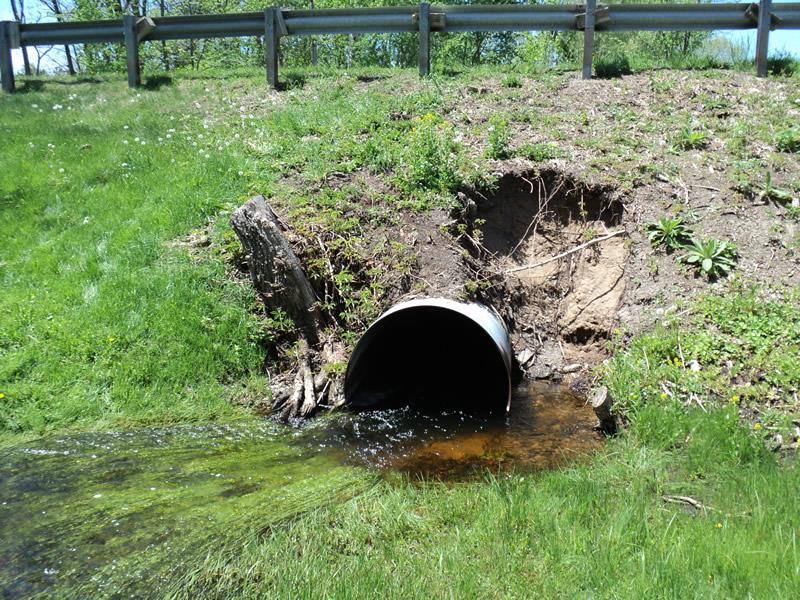
Inlet
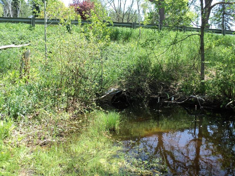
Outlet
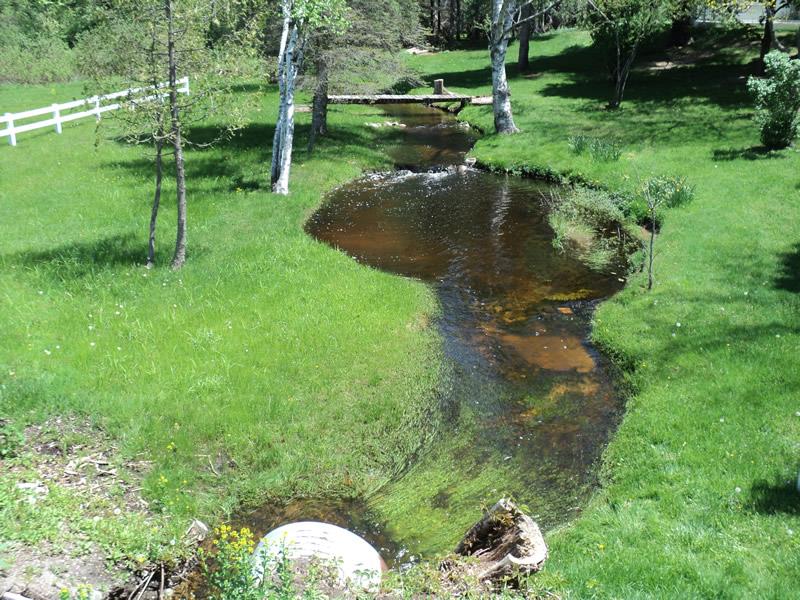
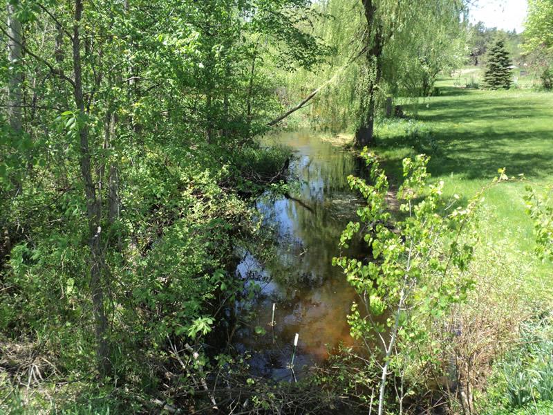
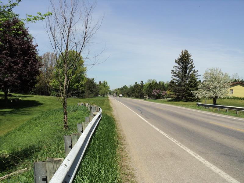
Upstream Conditions
Downstream Conditions
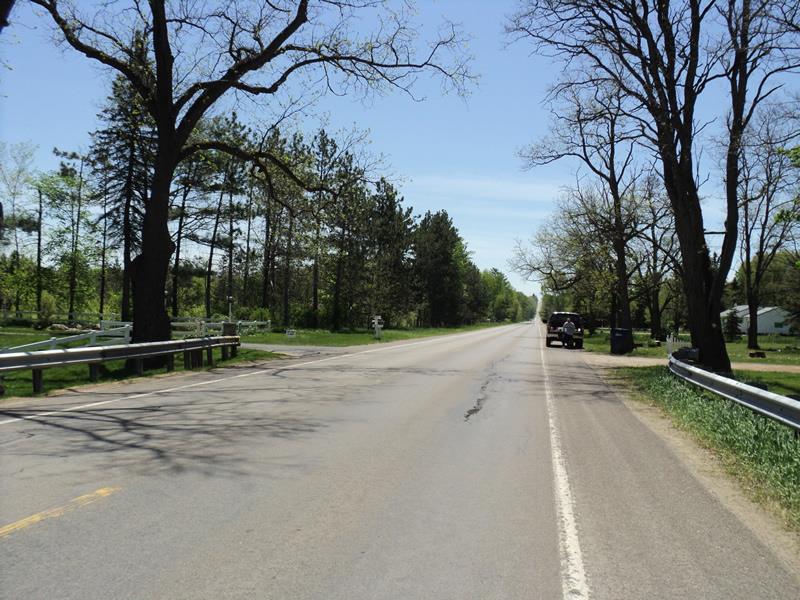
Road Approach - Left
Road Approach - Right
Other
Crossing Information
Type of Crossing: culvert(s)
Number of Structures: 1
Structure Shape: Round
Inlet Type: Projecting
Outlet Type: At Stream Grade
Structure Material: Metal
Structure Substrate: Sand
General Conditions: Good
Structure Interior: corrugated
Dimensions of Structure: Length 70 ft.
, Width 3.6 ft.
, Height 3.6 ft.
Structure is NOT Perched
Structure Inlet
Water Depth: 1.4 ft.
Embedded Depth of Structure: 0 ft.
Water Velocity*: 0.5 ft./sec.
Structure Outlet
Water Depth: 2.5 ft.
Embedded Depth of Structure: 0 ft.
Water Velocity*: 0.5 ft./sec.
*Water Velocities were measured at the Surface
(with Float Test)
Stream Information
Stream Flow: More than Bankfull
Scour Pool: Length 17 ft.
, Width 13 ft.
, Depth 2.7 ft.
Upstream Pond: Length 0 ft.
, Width 0 ft.
, Depth 0 ft.
Riffle Information
Water Depth: 0.6 ft.
Bankfull Width: 20 ft.
Wetted Width: 16 ft.
Water Velocity: 1 ft./sec.
(Measured with Float Test)
Dominant Substrate: Gravel
Road Information
Paved
County Road
Road Condition: Good
Road Width at Culvert: 37 ft.
Location of Low Point: Other
Runoff Path: Roadway
Embankments
Upstream
Fill Depth: 6 ft.
Slope: 1:1
Downstream
Fill Depth: 8 ft.
Slope: 1:1
Approaches
Left Approach
Length: 1000 ft.
Slope: 1% to 5%
Vegetation: Heavy
LS Factor: 0.57
Erosion: 0.6972 tons/year
Length: 0 ft.
Slope: Less Than 1%
Vegetation: Partial
Erosion Information
Total Erosion at Crossing: 0.792 tons/year
Extent of Erosion: Minor
Notes:
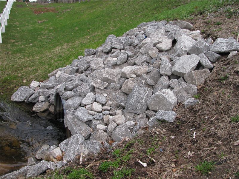
Erosion on upstream embankment was stabilized in the summer of 2014 with rock (see picture).
Summary Information
Erosion is an area of concern for this site.
No.
�