Road Stream Crossing Site BT_G018
Betsie River Watershed, Unknown
Cedar Hedge Lake Access Rd
Green Lake Twp,
Grand Traverse County
Information collected by:
Site Location
GPS Coordinates: 44.66752
, -85.79337
T26N
R12W
Sec 8
Owned by State
Structure is NOT Perched
Total Erosion: 5.6529 tons/year
Severity: Moderate
Year Inventoried: 2014
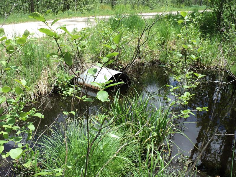
Inlet
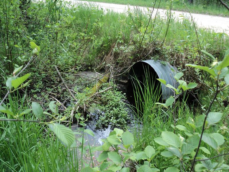
Outlet
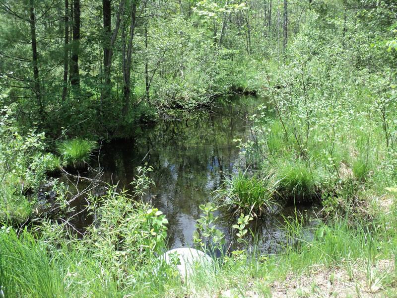
Upstream Conditions
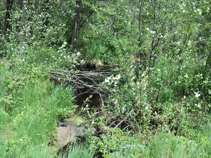
Downstream Conditions
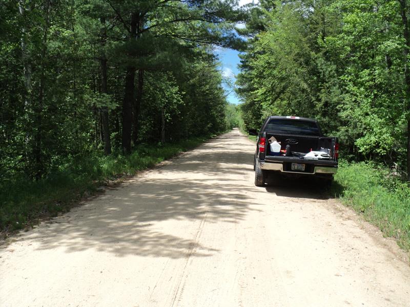
Road Approach - Left
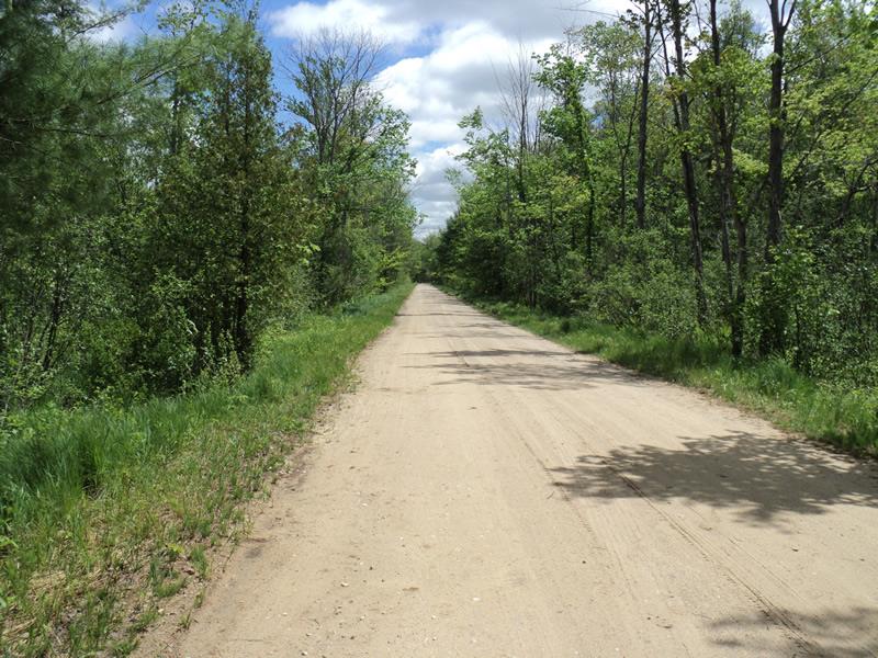
Road Approach - Right
Crossing Information
Type of Crossing: culvert(s)
Number of Structures: 1
Structure Shape: Round
Inlet Type: Projecting
Outlet Type: At Stream Grade
Structure Material: Metal
Structure Substrate: Mixture
General Conditions: Good
Structure Interior: corrugated
Dimensions of Structure: Length 30.5 ft.
, Width 2.5 ft.
, Height 2.5 ft.
Structure is NOT Perched
Structure Inlet
Water Depth: 1.7 ft.
Embedded Depth of Structure: 0 ft.
Water Velocity*: 0.3 ft./sec.
Structure Outlet
Water Depth: 0.9 ft.
Embedded Depth of Structure: 0 ft.
Water Velocity*: 1.5 ft./sec.
*Water Velocities were measured 1.1 ft. below Surface
(with Meter)
Stream Information
Stream Flow: Bankfull
Scour Pool: Length 0 ft.
, Width 0 ft.
, Depth 0 ft.
Upstream Pond: Length 18 ft.
, Width 18 ft.
, Depth 3 ft.
Riffle Information
Water Depth: 1 ft.
Bankfull Width: 22 ft.
Wetted Width: 12 ft.
Water Velocity: 0.6 ft./sec.
(Measured with Meter)
Dominant Substrate: Organics
Road Information
Gravel
Other Road
Road Condition: Good
Road Width at Culvert: 18 ft.
Location of Low Point: At Stream
Runoff Path: Roadway
Embankments
Upstream
Fill Depth: 1.4 ft.
Slope: More than 1:2
Downstream
Fill Depth: 1 ft.
Slope: More than 1:2
Approaches
Left Approach
Length: 1000 ft.
Slope: Less Than 1%
Vegetation: Heavy
LS Factor: 0.57
Erosion: 2.8264 tons/year
Right Approach
Length: 1000 ft.
Slope: Less Than 1%
Vegetation: Heavy
LS Factor: 0.57
Erosion: 2.8264 tons/year
Erosion Information
Total Erosion at Crossing: 5.6529 tons/year
Extent of Erosion: Moderate
Summary Information
Erosion is an area of concern for this site.
�