Road Stream Crossing Site BT_G020
Betsie River Watershed, Unknown (Near Tonowanda Lake)
Birch Rd
Green Lake Twp,
Grand Traverse County
Information collected by:
Site Location
GPS Coordinates: 44.6540344682253
, -85.7512736320496
T26N
R12W
Sec 15
Owned by Private
Structure is NOT Perched
Total Erosion: 2.0201 tons/year
Severity: Severe
Year Inventoried: 2014
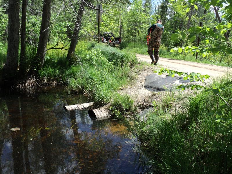
Inlet
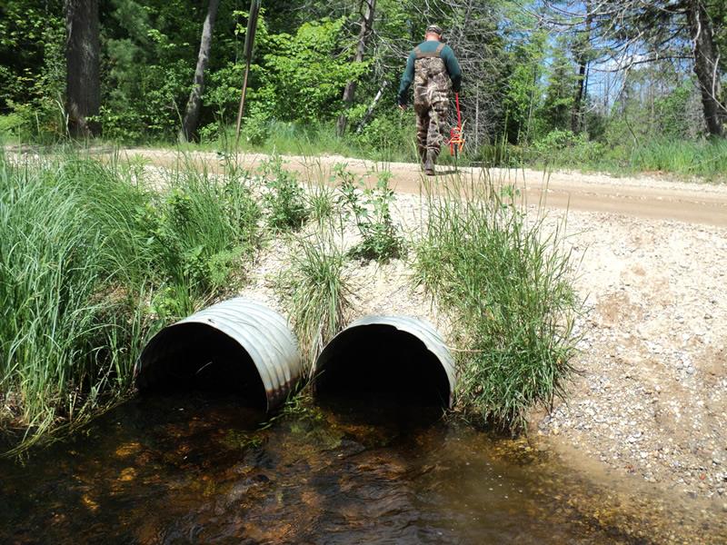
Outlet
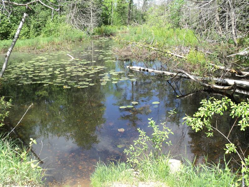
Upstream Conditions
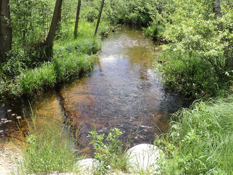
Downstream Conditions
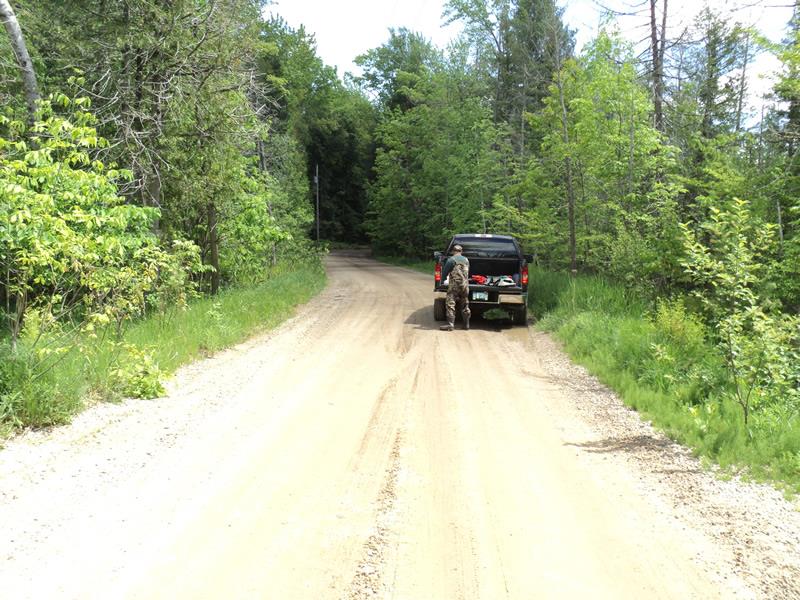
Road Approach - Left
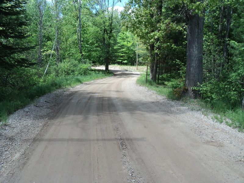
Road Approach - Right
Crossing Information
Type of Crossing: culvert(s)
Number of Structures: 2
Structure Shape: Round
Inlet Type: Projecting
Outlet Type: At Stream Grade
Structure Material: Metal
Structure Substrate: Mixture
General Conditions: Fair
Multiple Culverts/Spans | ||||
Culvert/Span | Width | Length | Height | Material |
2 |
2 ft. |
30 ft. |
2 ft. |
Metal |
Structure Interior: corrugated
Dimensions of Structure: Length 30 ft.
, Width 2 ft.
, Height 2 ft.
Structure is NOT Perched
Structure Inlet
Water Depth: 1.8 ft.
Embedded Depth of Structure: 0 ft.
Water Velocity*: 0.4 ft./sec.
Structure Outlet
Water Depth: 0.8 ft.
Embedded Depth of Structure: 0 ft.
Water Velocity*: 1.8 ft./sec.
*Water Velocities were measured 1.3 ft. below Surface
(with Meter)
Stream Information
Stream Flow: More than Bankfull
Scour Pool: Length 15 ft.
, Width 12 ft.
, Depth 1.5 ft.
Upstream Pond: Length 0 ft.
, Width 0 ft.
, Depth 0 ft.
Riffle Information
Water Depth: 0.3 ft.
Bankfull Width: 16 ft.
Wetted Width: 13 ft.
Water Velocity: 1.4 ft./sec.
(Measured with Meter)
Dominant Substrate: Gravel
Road Information
Gravel
County Road
Road Condition: Good
Road Width at Culvert: 17 ft.
Location of Low Point: Other
Runoff Path: Roadway
Embankments
Upstream
Fill Depth: 2.4 ft.
Slope: More than 1:2
Downstream
Fill Depth: 1.7 ft.
Slope: More than 1:2
Approaches
Left Approach
Length: 0 ft.
Slope: Less Than 1%
Vegetation: Heavy
LS Factor: 0.05
Erosion: 0 tons/year
Right Approach
Length: 175 ft.
Slope: 1% to 5%
Vegetation: Heavy
LS Factor: 0.415
Erosion: 0.3401 tons/year
Erosion Information
Total Erosion at Crossing: 2.0201 tons/year
Extent of Erosion: Severe
Notes:
Upstream/downstream roadway bank erosion.
Location of Erosion | Erosion Dimensions | Eroded Material | Material Eroded | Total Erosion | ||
facing downstream | Length | Width | Depth | Reaching Stream? | (tons/year) | |
Left Downstream Embankment |
15 ft. |
4 ft. |
4 ft. |
yes |
Gravelly Loam |
0.42 |
Right Downstream Embankment |
15 ft. |
4 ft. |
4 ft. |
yes |
Gravelly Loam |
0.42 |
Left Upstream Embankment |
15 ft. |
8 ft. |
4 ft. |
yes |
Gravelly Loam |
0.42 |
Right Upstream Embankment |
15 ft. |
8 ft. |
4 ft. |
yes |
Gravelly Loam |
0.42 |
Summary Information
Erosion is an area of concern for this site.
High amount of erosion, mainly gravel from roadway.
A future visit to this site is recommended.
Erosion on banks/undersized culverts.
�