Road Stream Crossing Site PM_L003
Pere Marquette River Watershed, Tank Creek
Wingleton Rd
Sweetwater Twp,
Lake County
Information collected by:
Site Location
GPS Coordinates: 43.932563
, -86.008508
T18N
R14W
Sec 20
Owned by Private
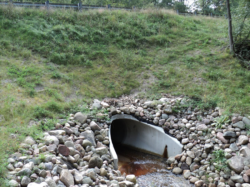
Inlet
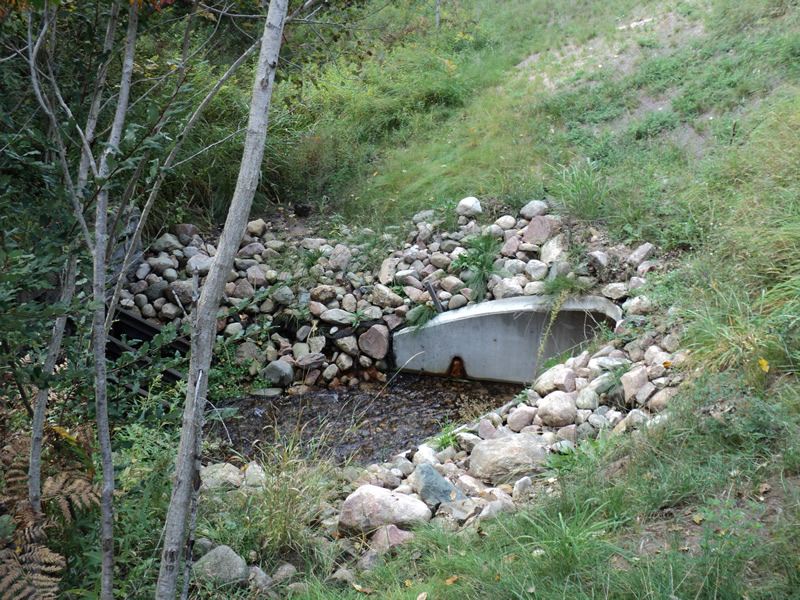
Outlet
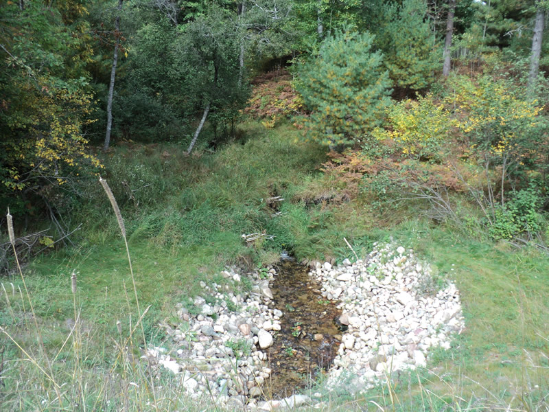
Upstream Conditions
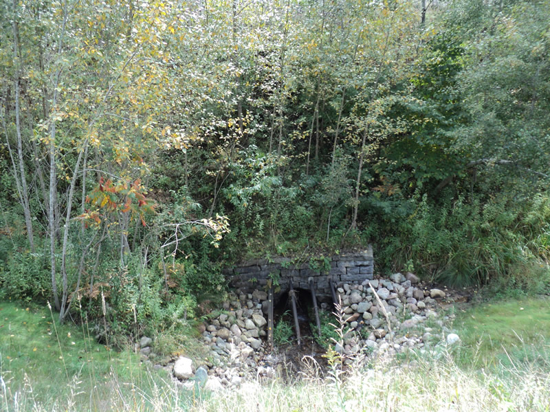
Downstream Conditions
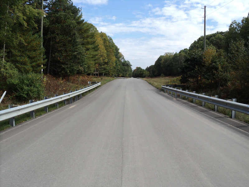
Road Approach - Left
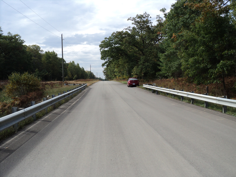
Road Approach - Right
Crossing Information
Type of Crossing: culvert(s)
Number of Structures: 1
Structure Shape: Round
Inlet Type: Apron
Outlet Type: At Stream Grade
Structure Material: Concrete
Structure Substrate: Sand
General Conditions: New
Structure Interior: smooth
Dimensions of Structure: Length 88.3 ft.
, Width 4 ft.
, Height 4 ft.
Structure Inlet
Water Depth: 0.3 ft.
Embedded Depth of Structure: 0.1 ft.
Water Velocity*: 1.2 ft./sec.
Structure Outlet
Water Depth: 0.4 ft.
Embedded Depth of Structure: 0.2 ft.
Water Velocity*: 2.8 ft./sec.
*Water Velocities were measured 0.2 ft. below Surface
(with Meter)
Additional Comments
Road crossing replaced in 2010. Remnants of a dam found on-site. 1-2 ponds still upstream.
Stream Information
Stream Flow: Less than Bankfull
Riffle Information
Water Depth: 0.5 ft.
Bankfull Width: 5 ft.
Wetted Width: 4 ft.
Water Velocity: 0.4 ft./sec.
(Measured with Meter)
Dominant Substrate: Sand
Road Information
Paved
County Road
Road Condition: Good
Road Width at Culvert: 22 ft.
Location of Low Point: Other
Runoff Path: Ditch
Embankments
Upstream
Fill Depth: 12 ft.
Slope: 1:1.5
Downstream
Fill Depth: 14 ft.
Slope: 1:1
Approaches
Left Approach
Length: 300 ft.
Slope: 1% to 5%
Vegetation: Heavy
LS Factor: 0.46
Erosion: 0.1004 tons/year
Right Approach
Length: 500 ft.
Slope: 1% to 5%
Vegetation: Heavy
LS Factor: 0.5
Erosion: 0.1818 tons/year
Erosion Information
Total Erosion at Crossing: 0.2822 tons/year
Extent of Erosion: Stabilized
Notes:
Spillways functioning and handling runoff.
Summary Information
Erosion is an area of concern for this site.
�