Road Stream Crossing Site PM_L010
Pere Marquette River Watershed, Middle Branch
Nelson Rd
Yates Twp,
Lake County
Information collected by:
Site Location
GPS Coordinates: 43.87191
, -85.76278
T17N
R12W
Sec 17
Owned by Federal
Severity: Minor
Year Inventoried: 2014
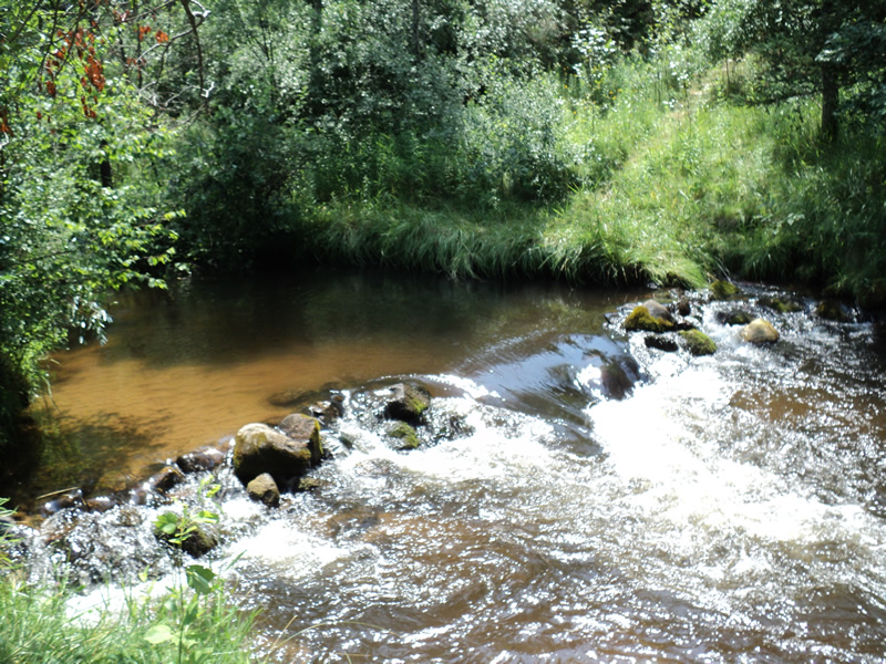
Upstream Conditions
Downstream Conditions
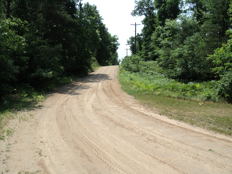
Road Approach - Left
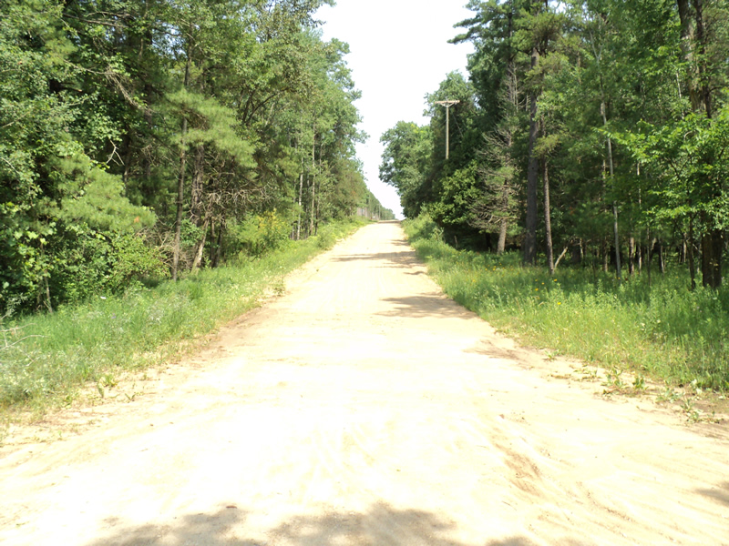
Road Approach - Right
Crossing Information
Additional Comments
No bridge-road ends
Road Information
Gravel
County Road
Road Condition: Poor
Location of Low Point: At Stream
Runoff Path: Roadway
Length: 240 ft.
Slope: 6% to 10%
Vegetation: Heavy
Length: 400 ft.
Slope: 6% to 10%
Vegetation: Heavy
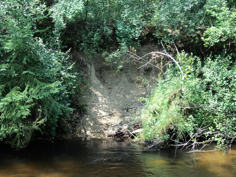
Erosion Information
Extent of Erosion: Minor
Notes: photo L10_erosion
Location of Erosion | Erosion Dimensions | Eroded Material | Material Eroded | Total Erosion | ||
facing downstream | Length | Width | Depth | Reaching Stream? | (tons/year) | |
Left Downstream Streambank |
8 ft. |
10 ft. |
1 ft. |
yes |
Loam |
0.007 |
Summary Information
�