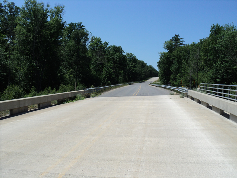
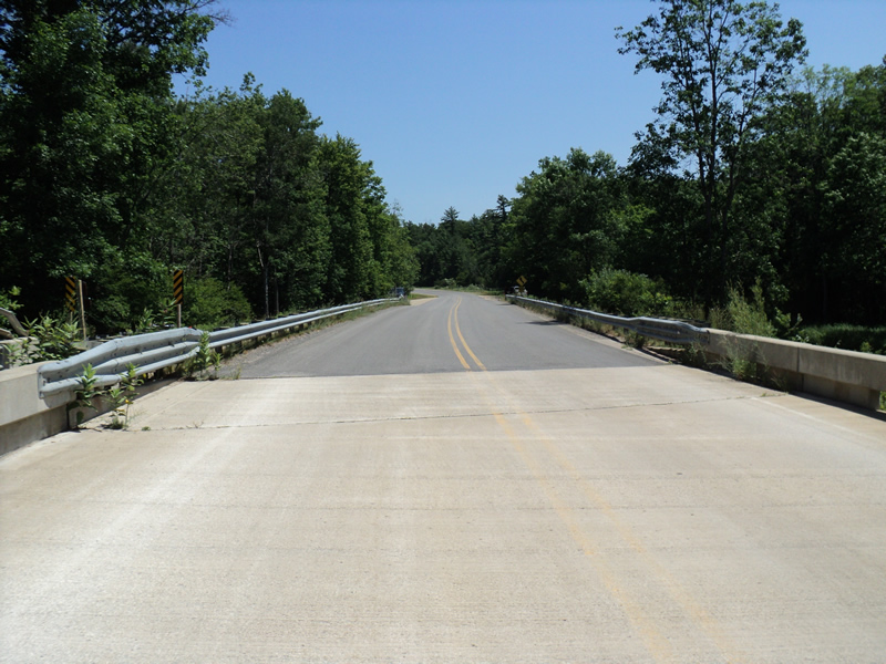
Road Stream Crossing Site PM_L011
Pere Marquette River Watershed, Pere Marquette River
56th St
Lake Twp,
Lake County
Information collected by:
Site Location
GPS Coordinates: 43.8870637303653
, -85.9373049438
T17N
R14W
Sec 1
Owned by Federal
Total Erosion: 0.0174 tons/year
Severity: Moderate
Year Inventoried: 2014
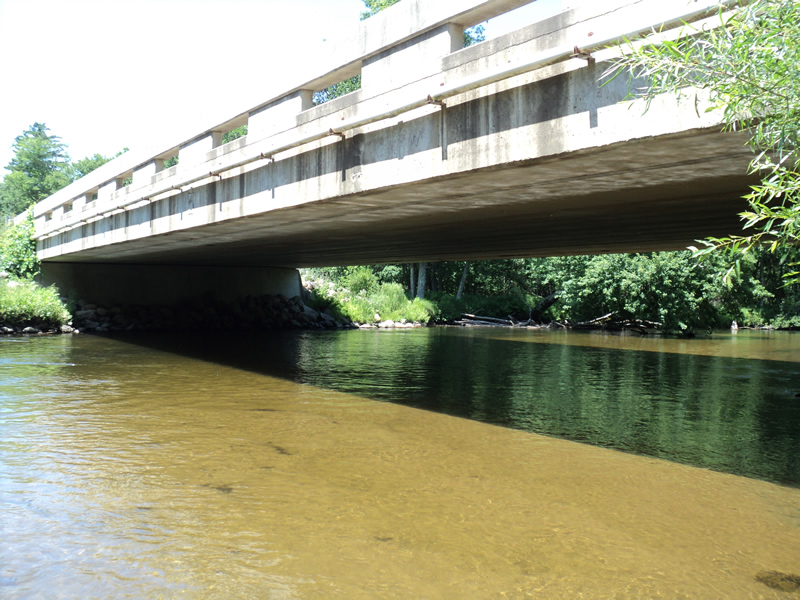
Inlet
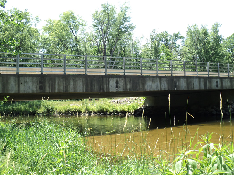
Outlet
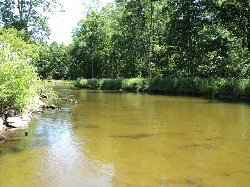
Upstream Conditions
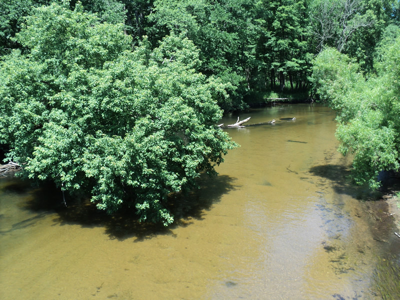
Downstream Conditions
Road Approach - Left
Road Approach - Right
Crossing Information
Type of Crossing: Bridge
Structure Shape: Open Bottom Square/Rectangle
Inlet Type: Wingwall 30-70 Degree
Outlet Type: At Stream Grade
Structure Material: Concrete
Structure Substrate: Mixture
General Conditions: Good
Structure Interior: smooth
Dimensions of Structure: Length 40 ft.
, Width 110 ft.
, Height 10 ft.
Structure Inlet
Water Depth: 2.8 ft.
Water Velocity*: 1.7 ft./sec.
Structure Outlet
Water Depth: 2.2 ft.
Water Velocity*: 1.9 ft./sec.
*Water Velocities were measured 1 ft. below Surface
(with Meter)
Stream Information
Stream Flow: Less than Bankfull
Riffle Information
Water Depth: 1.9 ft.
Bankfull Width: 52 ft.
Wetted Width: 50 ft.
Water Velocity: 2.4 ft./sec.
(Measured with Meter)
Dominant Substrate: Sand
Road Information
Paved
County Road
Road Condition: Good
Road Width at Culvert: 32 ft.
Location of Low Point: Other
Runoff Path: Roadway
Slope: Vertical
Slope: Vertical
Approaches
Left Approach
Length: 30 ft.
Slope: 1% to 5%
Vegetation: Heavy
LS Factor: 0.298
Erosion: 0.0095 tons/year
Right Approach
Length: 150 ft.
Slope: Less Than 1%
Vegetation: Heavy
LS Factor: 0.05
Erosion: 0.0079 tons/year
Erosion Information
Total Erosion at Crossing: 0.0174 tons/year
Extent of Erosion: Minor
Erosion is occurring and corrective actions can be installed to address the problem.
Summary Information
Fish Passage is an area of concern for this site.
�