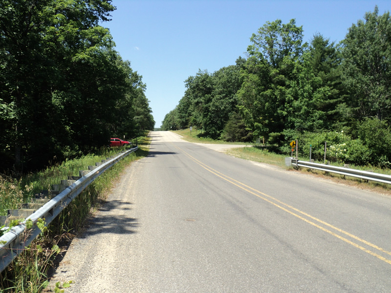
Road Stream Crossing Site PM_L012
Pere Marquette River Watershed, Middle Branch tributary
56th St
Lake Twp,
Lake County
Information collected by:
Site Location
GPS Coordinates: 43.88711
, -85.9388
T17N
R14W
Sec 1
Owned by Federal
Fish Passability 0.9
Total Erosion: 0.6969 tons/year
Severity: Moderate
Year Inventoried: 2014
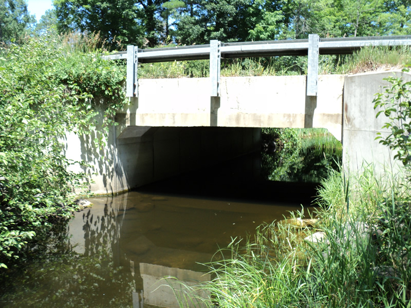
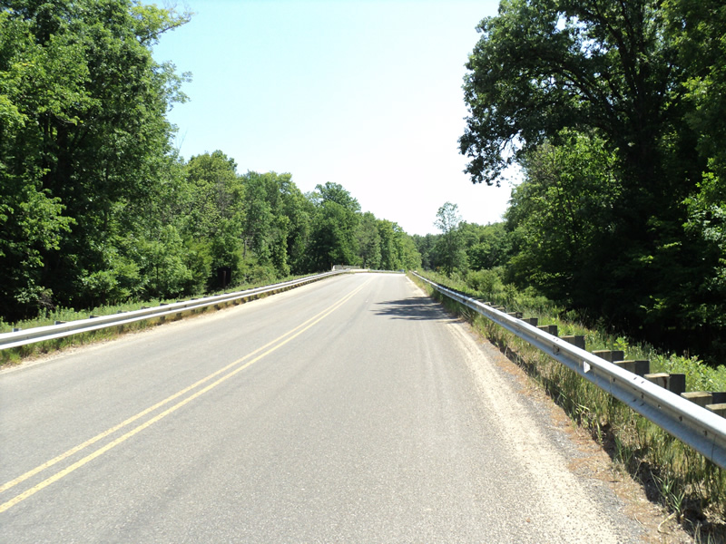
Inlet
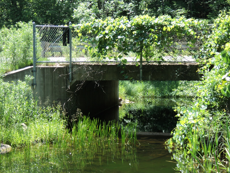
Outlet
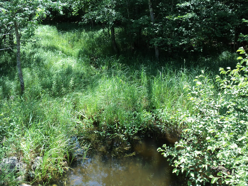
Upstream Conditions
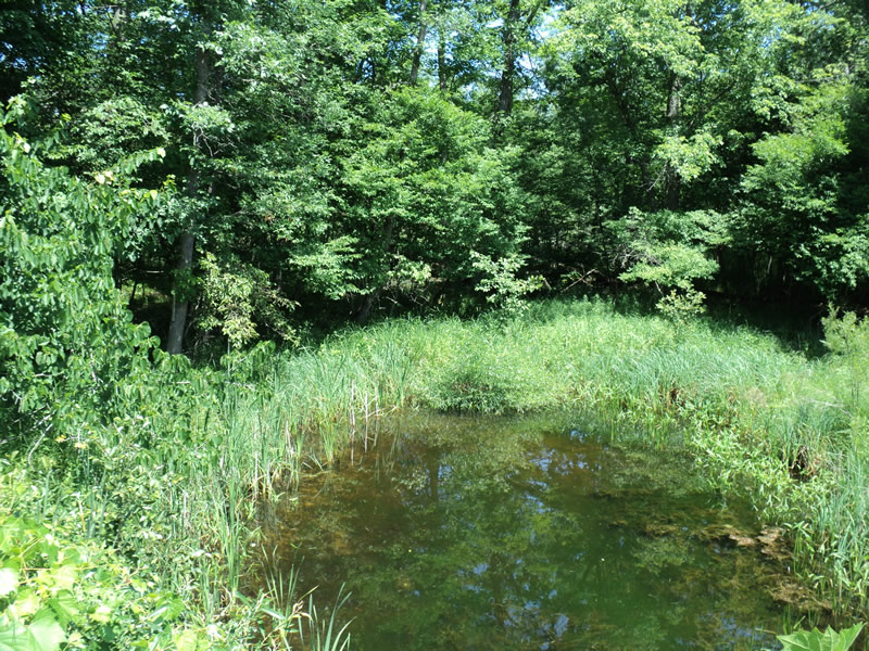
Downstream Conditions
Road Approach - Left
Road Approach - Right
Crossing Information
Type of Crossing: Bridge
Structure Shape: Square/Rectangle
Inlet Type: Wingwall 30-70 Degree
Outlet Type: At Stream Grade
Structure Material: Concrete
Structure Substrate: Mixture
General Conditions: Fair
Structure Interior: smooth
Dimensions of Structure: Length 41 ft.
, Width 17 ft.
, Height 8 ft.
Structure Inlet
Water Depth: 2.5 ft.
Water Velocity*: 0 ft./sec.
Structure Outlet
Water Depth: 1.6 ft.
Water Velocity*: 0 ft./sec.
*Water Velocities were measured 1 ft. below Surface
(with Meter)
Additional Comments
large stagnant pool under bridge
Stream Information
Stream Flow: Less than 1/2 Bankfull
Scour Pool: Length 45 ft.
, Width 20 ft.
, Depth 3 ft.
Upstream Pond: Length 20 ft.
, Width 15 ft.
Riffle Information
Water Depth: 0.1 ft.
Bankfull Width: 11 ft.
Wetted Width: 1.5 ft.
Water Velocity: 0.6 ft./sec.
(Measured with Meter)
Dominant Substrate: Sand
Road Information
Paved
County Road
Road Condition: Good
Road Width at Culvert: 30 ft.
Location of Low Point: Other
Runoff Path: Roadway
Slope: Vertical
Slope: Vertical
Approaches
Left Approach
Length: 400 ft.
Slope: 6% to 10%
Vegetation: Heavy
LS Factor: 1.53
Erosion: 0.6069 tons/year
Right Approach
Length: 210 ft.
Slope: 1% to 5%
Vegetation: Heavy
LS Factor: 0.432
Erosion: 0.09 tons/year
Erosion Information
Total Erosion at Crossing: 0.6969 tons/year
Extent of Erosion: Minor
Summary Information
Fish Passability 0.9
�