Road Stream Crossing Site PM_L016
Pere Marquette River Watershed, Middle Branch
M-37
Pleasant Plains Twp,
Lake County
Information collected by:
Site Location
GPS Coordinates: 43.8574912536069
, -85.8514353632927
T17N
R13W
Sec 15
Owned by Private
Total Erosion: 0.7314 tons/year
Severity: Moderate
Year Inventoried: 2014
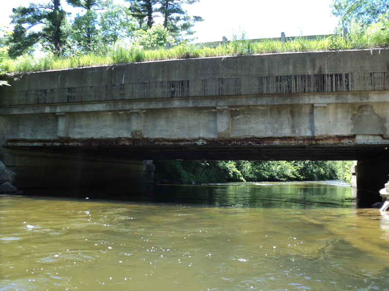
Inlet
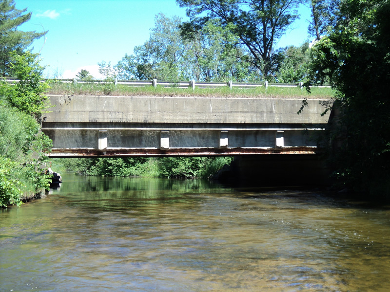
Outlet
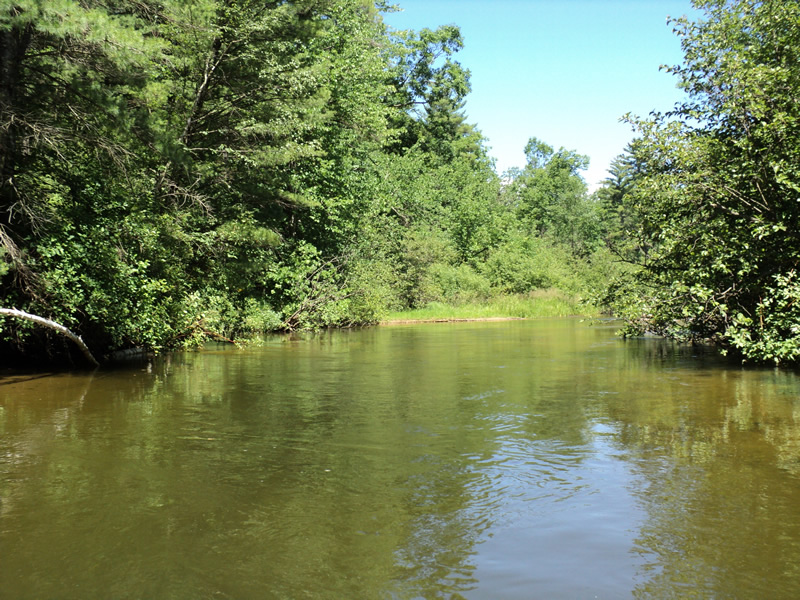
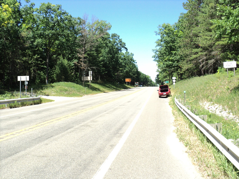
Upstream Conditions
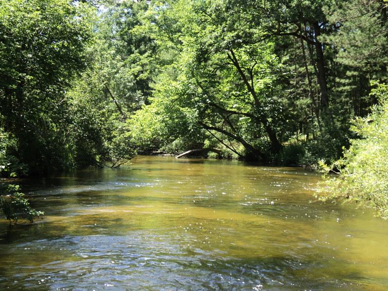
Downstream Conditions
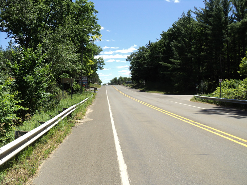
Road Approach - Left
Road Approach - Right
Crossing Information
Type of Crossing: Bridge
Structure Shape: Open Bottom Square/Rectangle
Inlet Type: Other
Outlet Type: At Stream Grade
Structure Material: Concrete
Structure Substrate: Mixture
General Conditions: Fair
Structure Interior: smooth
Dimensions of Structure: Length 45 ft.
, Width 47 ft.
, Height 12 ft.
Structure Inlet
Water Depth: 2.6 ft.
Water Velocity*: 2.2 ft./sec.
Structure Outlet
Water Depth: 1.9 ft.
Water Velocity*: 2.4 ft./sec.
*Water Velocities were measured 1.5 ft. below Surface
(with Meter)
Stream Information
Stream Flow: Less than Bankfull
Riffle Information
Water Depth: 1.3 ft.
Bankfull Width: 37 ft.
Wetted Width: 36 ft.
Water Velocity: 3.3 ft./sec.
(Measured with Meter)
Dominant Substrate: Gravel
Road Information
Paved
State Road
Road Condition: Good
Road Width at Culvert: 38 ft.
Location of Low Point: At Stream
Runoff Path: Roadway
Slope: Vertical
Slope: Vertical
Approaches
Left Approach
Length: 315 ft.
Slope: 6% to 10%
Vegetation: Heavy
LS Factor: 1.42
Erosion: 0.5617 tons/year
Right Approach
Length: 295 ft.
Slope: 1% to 5%
Vegetation: Heavy
LS Factor: 0.458
Erosion: 0.1697 tons/year
Erosion Information
Total Erosion at Crossing: 0.7314 tons/year
Extent of Erosion: Minor
Summary Information
Fish Passage is an area of concern for this site.
�