Road Stream Crossing Site PM_L018
Pere Marquette River Watershed, Baldwin River
8th St
Pleasant Plains Twp,
Lake County
Information collected by:
Site Location
GPS Coordinates: 43.89656
, -85.84261
T17N
R13W
Sec 3
Owned by State
Fish Passability 0.9
Total Erosion: 0.2359 tons/year
Severity: Minor
Year Inventoried: 2014
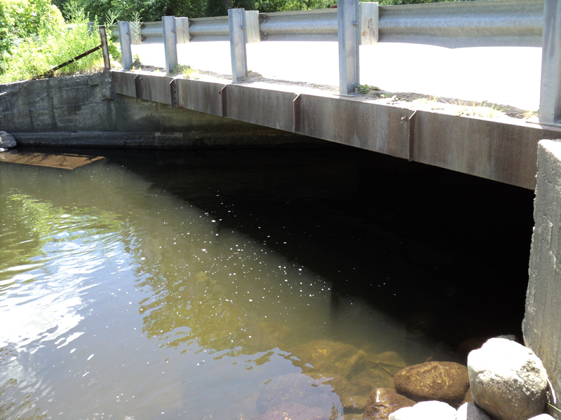
Inlet
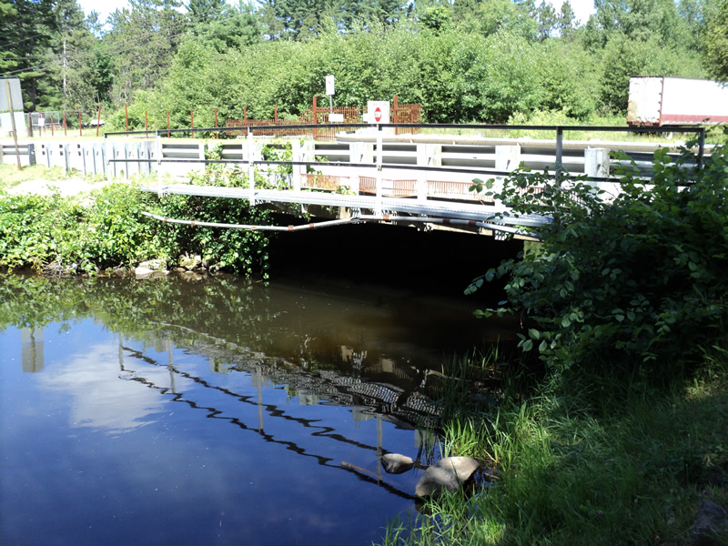
Outlet
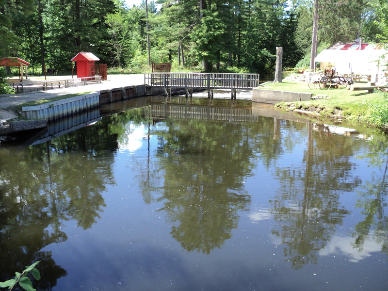
Upstream Conditions
Downstream Conditions
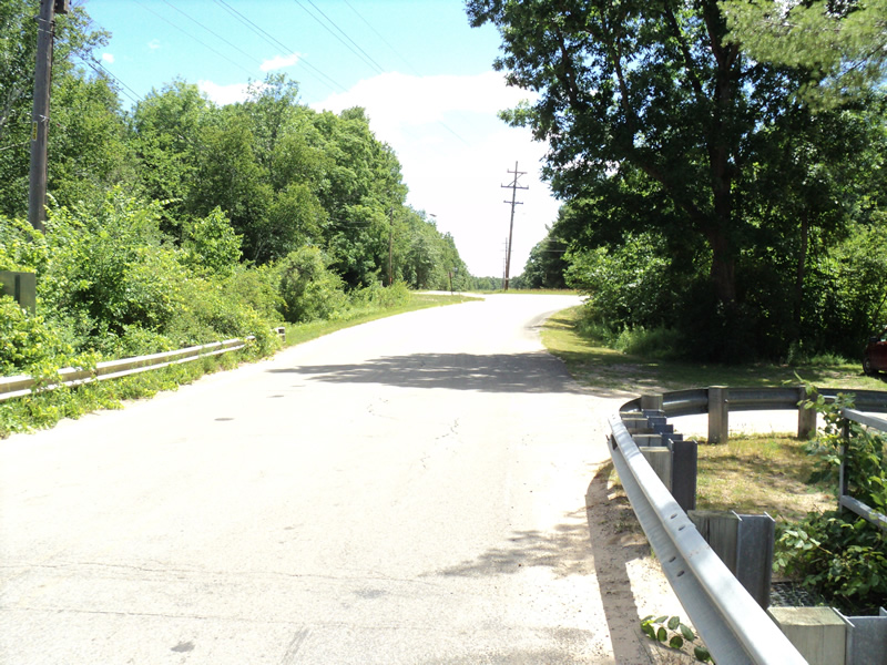
Road Approach - Left
Road Approach - Right
Crossing Information
Type of Crossing: Bridge
Structure Shape: Open Bottom Square/Rectangle
Inlet Type: Wingwall 30-70 Degree
Outlet Type: At Stream Grade
Structure Material: Concrete
Structure Substrate: Mixture
General Conditions: Good
Structure Interior: smooth
Dimensions of Structure: Length 24 ft.
, Width 28 ft.
, Height 8.5 ft.
Structure Inlet
Water Depth: 3.6 ft.
Water Velocity*: 0.4 ft./sec.
Structure Outlet
Water Depth: 3.8 ft.
Water Velocity*: 0.4 ft./sec.
*Water Velocities were measured 0.2 ft. below Surface
(with Meter)
Additional Comments
Fish hatchery area. Dams nearby upstream and downstream.
Stream Information
Stream Flow: Less than Bankfull
Riffle Information
Water Depth: 0.8 ft.
Bankfull Width: 35 ft.
Wetted Width: 32 ft.
Water Velocity: 1.7 ft./sec.
(Measured with Meter)
Dominant Substrate: Sand
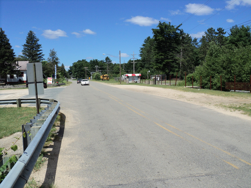
Road Information
Paved
Town Road
Road Condition: Good
Road Width at Culvert: 23 ft.
Location of Low Point: At Stream
Runoff Path: Ditch
Approaches
Left Approach
Length: 230 ft.
Slope: 6% to 10%
Vegetation: Heavy
LS Factor: 1.284
Erosion: 0.2245 tons/year
Right Approach
Length: 300 ft.
Slope: Less Than 1%
Vegetation: Heavy
LS Factor: 0.05
Erosion: 0.0114 tons/year
Erosion Information
Total Erosion at Crossing: 0.2359 tons/year
Summary Information
Fish Passability 0.9
Fish Passage is an area of concern for this site.
dams in place upstream and downstream
A future visit to this site is recommended. dams
�