Road Stream Crossing Site PM_L019
Pere Marquette River Watershed, Sanborn Creek
James Rd
Pleasant Plains Twp,
Lake County
Information collected by:
Site Location
GPS Coordinates: 43.8899169007378
, -85.841810926795
T17N
R13W
Sec 3
Owned by Private
Total Erosion: 0.1535 tons/year
Severity: Moderate
Year Inventoried: 2014
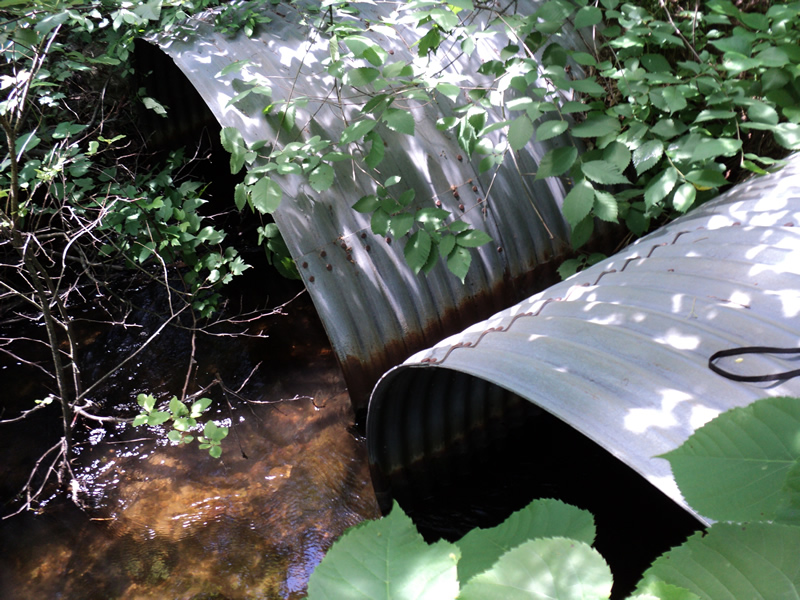
Inlet
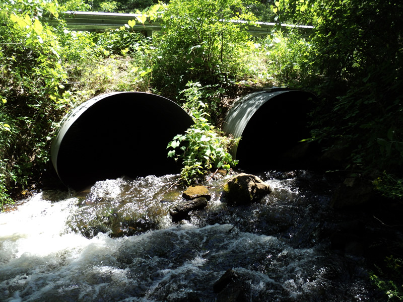
Outlet
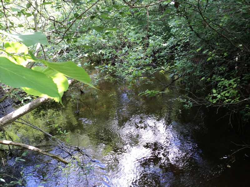
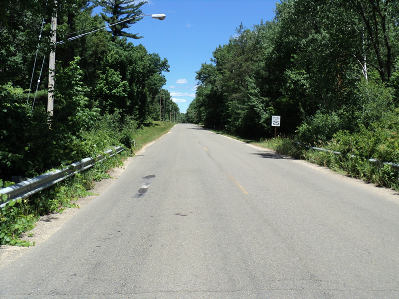
Upstream Conditions
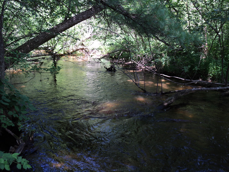
Downstream Conditions
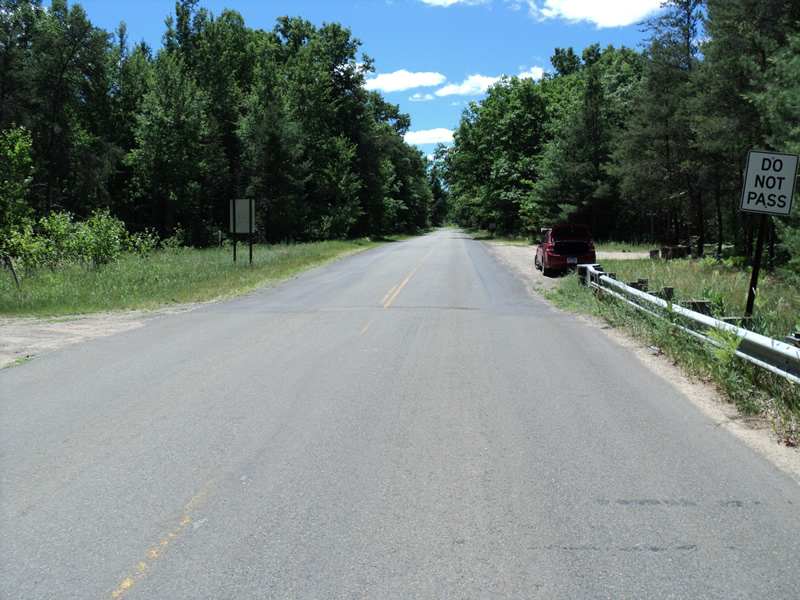
Road Approach - Left
Road Approach - Right
Crossing Information
Type of Crossing: culvert(s)
Number of Structures: 2
Structure Shape: Pipe Arch
Inlet Type: Projecting
Outlet Type: Cascade over Riprap
Structure Material: Metal
Structure Substrate: Mixture
General Conditions: Good
Multiple Culverts/Spans | ||||
Culvert/Span | Width | Length | Height | Material |
1 |
6.5 ft. |
50 ft. |
4.75 ft. |
Metal |
2 |
6.5 ft. |
50 ft. |
4.75 ft. |
Metal |
Structure Interior: corrugated
Dimensions of Structure: Length 50 ft.
, Width 6.5 ft.
, Height 4.75 ft.
Structure Inlet
Water Depth: 1.2 ft.
Water Velocity*: 1.8 ft./sec.
Structure Outlet
Water Depth: 0.8 ft.
Water Velocity*: 3 ft./sec.
*Water Velocities were measured 0.5 ft. below Surface
(with Meter)
Stream Information
Stream Flow: Less than 1/2 Bankfull
Riffle Information
Water Depth: 0.7 ft.
Bankfull Width: 14 ft.
Wetted Width: 12 ft.
Water Velocity: 2.1 ft./sec.
(Measured with Meter)
Dominant Substrate: Gravel
Road Information
Paved
County Road
Road Condition: Fair
Road Width at Culvert: 27 ft.
Location of Low Point: At Stream
Runoff Path: Ditch
Embankments
Upstream
Fill Depth: 3 ft.
Slope: More than 1:2
Downstream
Fill Depth: 2 ft.
Slope: 1:2
Approaches
Left Approach
Length: 150 ft.
Slope: Less Than 1%
Vegetation: Heavy
LS Factor: 0.05
Erosion: 0.0067 tons/year
Right Approach
Length: 350 ft.
Slope: 1% to 5%
Vegetation: Heavy
LS Factor: 0.47
Erosion: 0.1468 tons/year
Erosion Information
Total Erosion at Crossing: 0.1535 tons/year
Extent of Erosion: Minor
Summary Information
Erosion is an area of concern for this site.
�