Road Stream Crossing Site PM_L020
Pere Marquette River Watershed, Middle Branch
Foreman Rd
Pleasant Plains Twp,
Lake County
Information collected by:
Site Location
GPS Coordinates: 43.8615497152293
, -85.8014168590307
T17N
R13W
Sec 13
Owned by Private
Total Erosion: 0.4627 tons/year
Severity: Minor
Year Inventoried: 2014
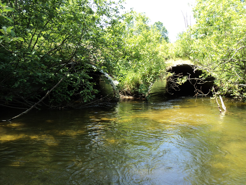
Inlet
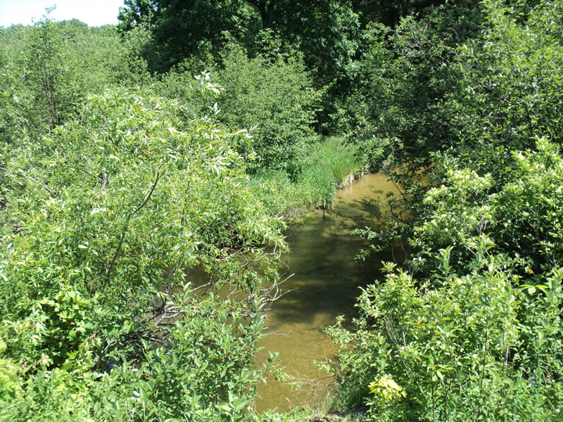
Upstream Conditions
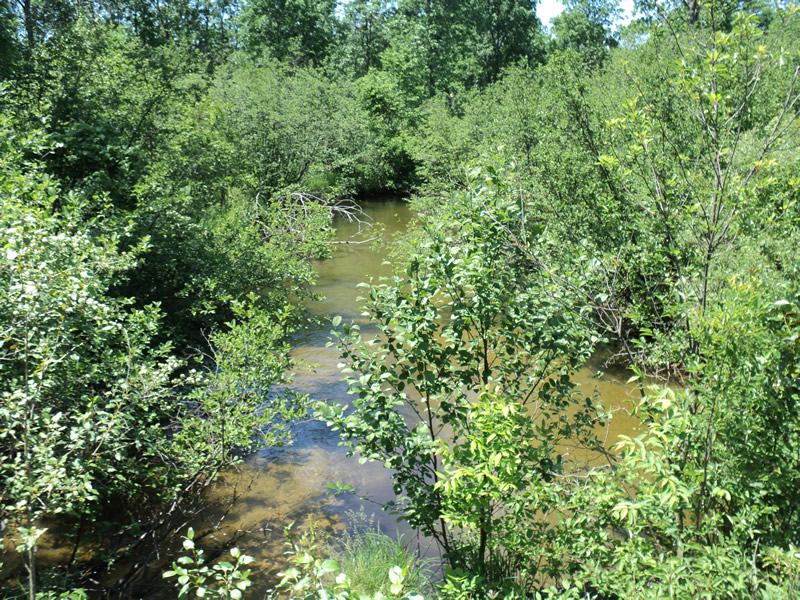
Downstream Conditions
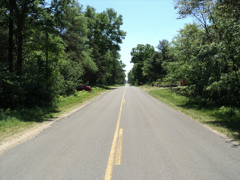
Road Approach - Left
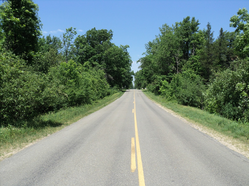
Road Approach - Right
Crossing Information
Type of Crossing: culvert(s)
Number of Structures: 2
Structure Shape: Pipe Arch
Inlet Type: Mitered
Outlet Type: At Stream Grade
Structure Material: Metal
Structure Substrate: Sand
General Conditions: Fair
Multiple Culverts/Spans | ||||
Culvert/Span | Width | Length | Height | Material |
1 |
10 ft. |
65 ft. |
7 ft. |
Metal |
2 |
10 ft. |
65 ft. |
7 ft. |
Metal |
Structure Interior: smooth
Dimensions of Structure: Length 65 ft.
, Width 10 ft.
, Height 7 ft.
Percentage Plugged:
Inlet: 0%
Outlet: 0%
In Pipe: 1% to 25%
Percentage Crushed:
Inlet: 0%
Outlet: 0%
In Pipe: 1% to 25%
Structure Inlet
Water Depth: 2.5 ft.
Embedded Depth of Structure: 0.75 ft.
Water Velocity*: 2 ft./sec.
Structure Outlet
Water Depth: 2.2 ft.
Embedded Depth of Structure: 0.75 ft.
Water Velocity*: 2 ft./sec.
*Water Velocities were measured 1 ft. below Surface
(with Meter)
Stream Information
Stream Flow: Less than 1/2 Bankfull
Dominant Substrate: Organics
Road Information
Paved
County Road
Road Condition: Fair
Road Width at Culvert: 30 ft.
Location of Low Point: At Stream
Runoff Path: Ditch
Embankments
Upstream
Fill Depth: 3.5 ft.
Slope: 1:2
Downstream
Fill Depth: 5 ft.
Slope: More than 1:2
Approaches
Left Approach
Length: 120 ft.
Slope: 1% to 5%
Vegetation: Heavy
LS Factor: 0.388
Erosion: 0.0462 tons/year
Right Approach
Length: 300 ft.
Slope: 6% to 10%
Vegetation: Heavy
LS Factor: 1.4
Erosion: 0.4165 tons/year
Erosion Information
Total Erosion at Crossing: 0.4627 tons/year
Extent of Erosion: Minor
Summary Information
Erosion is an area of concern for this site.
�