Road Stream Crossing Site PM_L021
Pere Marquette River Watershed, Middle Branch
Broadway Ave
Yates Twp,
Lake County
Information collected by:
Site Location
GPS Coordinates: 43.8684843359716
, -85.7746879756451
T17N
R12W
Sec 17
Owned by Private
Federal
Federal
Total Erosion: 0.4537 tons/year
Severity: Moderate
Year Inventoried: 2014
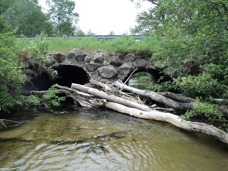
Inlet
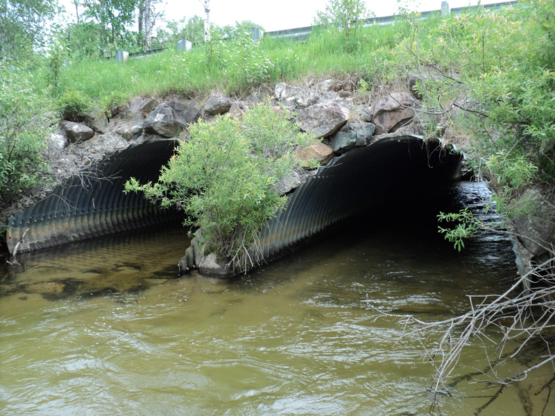
Outlet
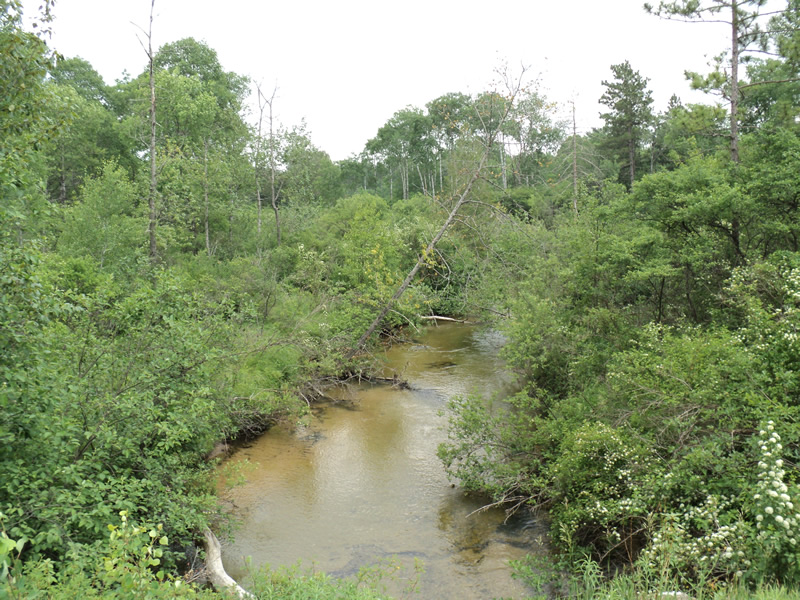
Upstream Conditions
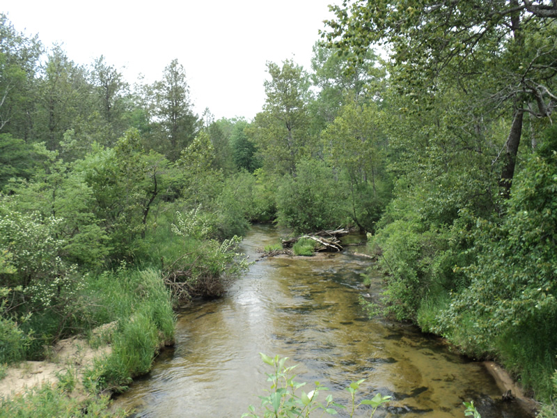
Downstream Conditions
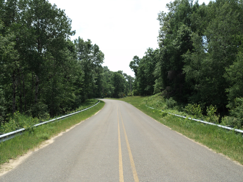
Road Approach - Left
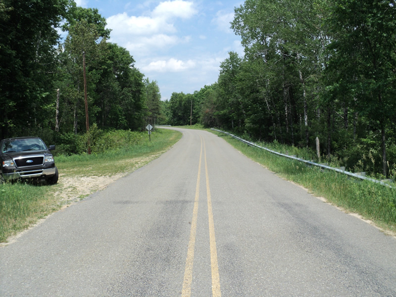
Road Approach - Right
Crossing Information
Type of Crossing: culvert(s)
Number of Structures: 2
Structure Shape: Pipe Arch
Inlet Type: Mitered
Outlet Type: At Stream Grade
Structure Material: Metal
Structure Substrate: Mixture
General Conditions: Good
Multiple Culverts/Spans | ||||
Culvert/Span | Width | Length | Height | Material |
1 |
8 ft. |
60 ft. |
8 ft. |
Metal |
2 |
8 ft. |
60 ft. |
8 ft. |
Metal |
Structure Interior: corrugated
Dimensions of Structure: Length 60 ft.
, Width 8 ft.
, Height 8 ft.
Percentage Plugged:
Inlet: 26% to 50%
Outlet: 0%
In Pipe: 0%
Structure Inlet
Water Depth: 2.3 ft.
Water Velocity*: 2.7 ft./sec.
Structure Outlet
Water Depth: 2.4 ft.
Water Velocity*: 2.4 ft./sec.
*Water Velocities were measured 1 ft. below Surface
(with Meter)
Additional Comments
Log jam at inlet
Stream Information
Stream Flow: Less than Bankfull
Riffle Information
Water Depth: 0.7 ft.
Bankfull Width: 29 ft.
Wetted Width: 25 ft.
Water Velocity: 1.8 ft./sec.
(Measured with Meter)
Dominant Substrate: Gravel
Road Information
Paved
County Road
Road Condition: Good
Road Width at Culvert: 27 ft.
Location of Low Point: At Stream
Runoff Path: Ditch
Embankments
Upstream
Fill Depth: 4 ft.
Slope: More than 1:2
Downstream
Fill Depth: 4 ft.
Slope: More than 1:2
Approaches
Left Approach
Length: 205 ft.
Slope: 1% to 5%
Vegetation: Heavy
LS Factor: 0.431
Erosion: 0.0789 tons/year
Right Approach
Length: 300 ft.
Slope: 6% to 10%
Vegetation: Heavy
LS Factor: 1.4
Erosion: 0.3749 tons/year
Erosion Information
Total Erosion at Crossing: 0.4537 tons/year
Extent of Erosion: Minor
Summary Information
Erosion is an area of concern for this site.
A future visit to this site is recommended.
logs jamming at inlet
�