Road Stream Crossing Site PM_L025
Pere Marquette River Watershed, Baldwin River
Foreman Rd
Webber Twp,
Lake County
Information collected by:
Site Location
GPS Coordinates: 43.926181
, -85.801721
T18N
R13W
Sec 25
Owned by Private
State
State
Fish Passability 0.5
Total Erosion: 0.0434 tons/year
Severity: Moderate
Year Inventoried: 2014
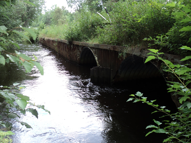
Inlet
Outlet
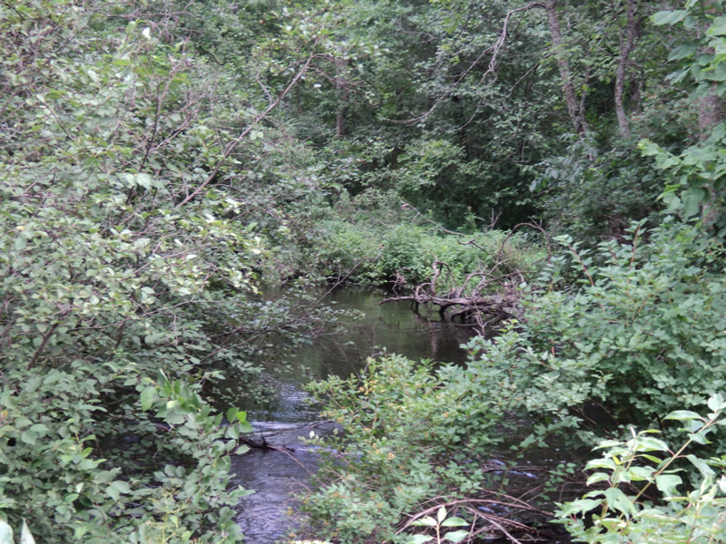
Upstream Conditions
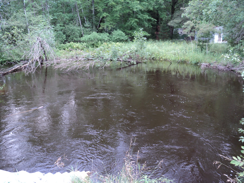
Downstream Conditions
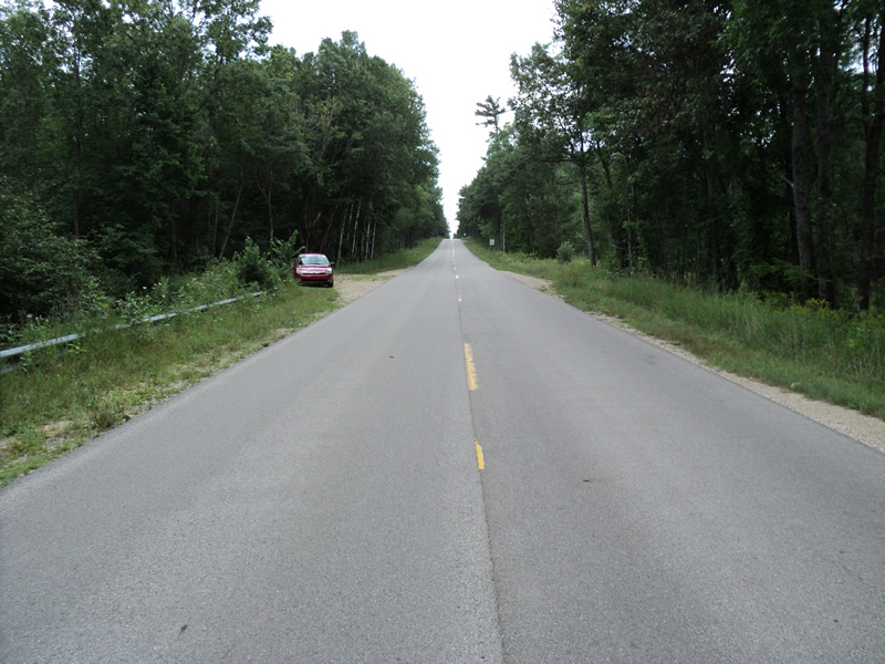
Road Approach - Left
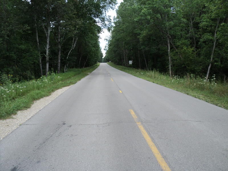
Road Approach - Right
Crossing Information
Type of Crossing: culvert(s)
Number of Structures: 2
Structure Shape: Pipe Arch
Inlet Type: Headwall
Outlet Type: At Stream Grade
Structure Material: Metal
Structure Substrate: Sand
General Conditions: Good
Structure Interior: corrugated
Dimensions of Structure: Length 48 ft.
, Width 8 ft.
, Height 6 ft.
Structure Inlet
Water Depth: 3 ft.
Embedded Depth of Structure: 0.5 ft.
Water Velocity*: 2.3 ft./sec.
Structure Outlet
Water Depth: 3.5 ft.
Embedded Depth of Structure: 0.5 ft.
Water Velocity*: 2.1 ft./sec.
*Water Velocities were measured 1 ft. below Surface
(with Meter)
Additional Comments
State access site downstream. Heavy recreational use at road crossing outlet as well.
Stream Information
Stream Flow: Less than Bankfull
Scour Pool: Length 30 ft.
, Width 40 ft.
, Depth 4 ft.
Upstream Pond: Length 0 ft.
, Width 0 ft.
, Depth 0 ft.
Riffle Information
Water Depth: 2 ft.
Bankfull Width: 40 ft.
Wetted Width: 28 ft.
Water Velocity: 0.9 ft./sec.
(Measured with Meter)
Dominant Substrate: Sand
Road Information
Paved
County Road
Road Condition: Fair
Road Width at Culvert: 21 ft.
Location of Low Point: At Stream
Runoff Path: Roadway
Embankments
Upstream
Fill Depth: 2 ft.
Slope: 1:1
Downstream
Fill Depth: 2 ft.
Slope: 1:1.5
Approaches
Left Approach
Length: 150 ft.
Slope: Less Than 1%
Vegetation: Partial
LS Factor: 0.05
Erosion: 0.0052 tons/year
Right Approach
Length: 150 ft.
Slope: Less Than 1%
Vegetation: Heavy
LS Factor: 0.05
Erosion: 0.0052 tons/year
Erosion Information
Total Erosion at Crossing: 0.0434 tons/year
Extent of Erosion: Minor
Notes: Road shoulders and downstream embankment.
Location of Erosion | Erosion Dimensions | Eroded Material | Material Eroded | Total Erosion | ||
facing downstream | Length | Width | Depth | Reaching Stream? | (tons/year) | |
Left Approach |
150 ft. |
4 ft. |
0.2 ft. |
yes |
Sand |
0.033 |
Summary Information
Fish Passability 0.5
These non-native species were observerd at this site: Spotted knapweed
�