Road Stream Crossing Site PM_L027
Pere Marquette River Watershed, Bray Creek
W 40th St
Webber Twp,
Lake County
Information collected by:
Site Location
GPS Coordinates: 43.915207
, -85.82365
T18N
R13W
Sec 26
Owned by Private
State
State
Fish Passability 0.5
Total Erosion: 2.1679 tons/year
Severity: Severe
Year Inventoried: 2014
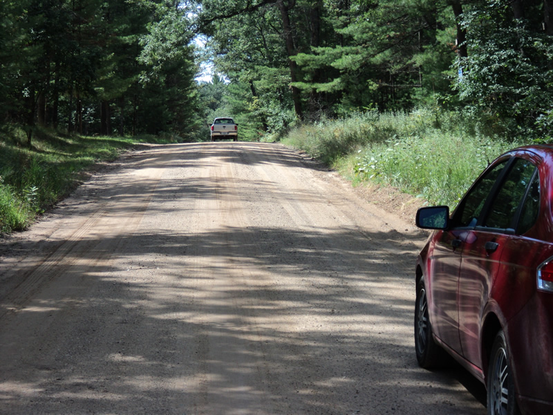
Inlet
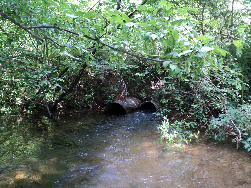
Outlet
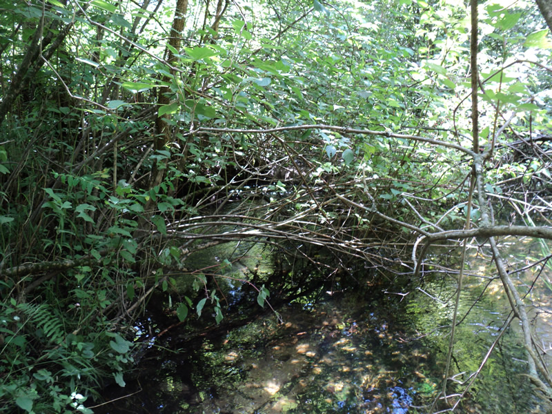
Upstream Conditions
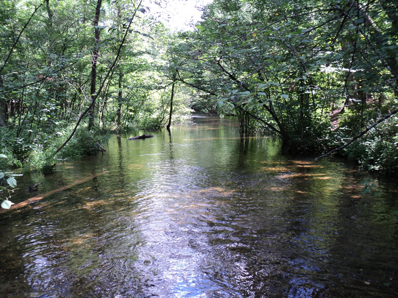
Downstream Conditions
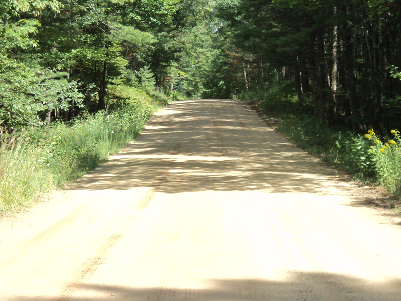
Road Approach - Left
Road Approach - Right
Crossing Information
Type of Crossing: culvert(s)
Number of Structures: 2
Structure Shape: Round
Inlet Type: Projecting
Outlet Type: At Stream Grade
Structure Material: Metal
Structure Substrate: None
General Conditions: Poor
Multiple Culverts/Spans | ||||
Culvert/Span | Width | Length | Height | Material |
1 |
2.2 ft. |
35 ft. |
2.2 ft. |
Metal |
2 |
1.6 ft. |
35 ft. |
1.6 ft. |
Metal |
Structure Interior: corrugated
Dimensions of Structure: Length 35 ft.
Structure Inlet
Water Depth: 1.5 ft.
Embedded Depth of Structure: 0.5 ft.
Water Velocity*: 0.9 ft./sec.
Structure Outlet
Water Depth: 1.5 ft.
Embedded Depth of Structure: 0 ft.
Water Velocity*: 2.3 ft./sec.
*Water Velocities were measured 1 ft. below Surface
(with Meter)
Stream Information
Stream Flow: Less than Bankfull
Scour Pool: Length 15 ft.
, Width 15 ft.
, Depth 1.5 ft.
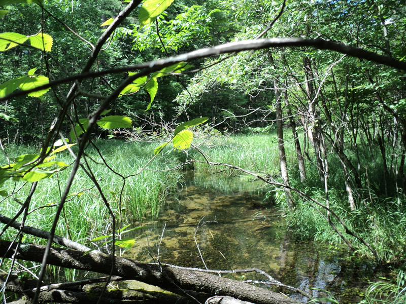
Upstream Pond: Length 30 ft.
, Width 30 ft.
, Depth 1 ft.
Riffle Information
Water Depth: 1 ft.
Bankfull Width: 24 ft.
Wetted Width: 22 ft.
Water Velocity: 1.1 ft./sec.
(Measured with Meter)
Dominant Substrate: Gravel
Road Information
Gravel
County Road
Road Condition: Good
Road Width at Culvert: 21 ft.
Location of Low Point: At Stream
Runoff Path: Roadway
Embankments
Upstream
Fill Depth: 5 ft.
Slope: 1:1
Downstream
Fill Depth: 5 ft.
Slope: 1:1
Approaches
Left Approach
Length: 380 ft.
Slope: 1% to 5%
Vegetation: Heavy
LS Factor: 0.476
Erosion: 1.0464 tons/year
Right Approach
Length: 250 ft.
Slope: 1% to 5%
Vegetation: Heavy
LS Factor: 0.44
Erosion: 0.6364 tons/year
Erosion Information
Total Erosion at Crossing: 2.1679 tons/year
Extent of Erosion: Moderate
Erosion is occurring and corrective actions can be installed to address the problem.
Location of Erosion | Erosion Dimensions | Eroded Material | Material Eroded | Total Erosion | ||
facing downstream | Length | Width | Depth | Reaching Stream? | (tons/year) | |
Left Approach |
380 ft. |
21 ft. |
0.1 ft. |
yes |
Sand |
0.2926 |
Right Approach |
250 ft. |
21 ft. |
0.1 ft. |
yes |
Sand |
0.1925 |
Summary Information
Fish Passability 0.5
Erosion is an area of concern for this site.
Culverts are old and undersized, and causing the wetland to form upstream. Warm water stream.
A future visit to this site is recommended. Monitor the culverts.
�