Road Stream Crossing Site PM_L028
Pere Marquette River Watershed, Bray Creek
W 36th St
Webber Twp,
Lake County
Information collected by:
Site Location
GPS Coordinates: 43.922534
, -85.822535
T18N
R13W
Sec 26
Owned by Private
Fish Passability 0
Total Erosion: 1.1558 tons/year
Severity: Severe
Year Inventoried: 2014
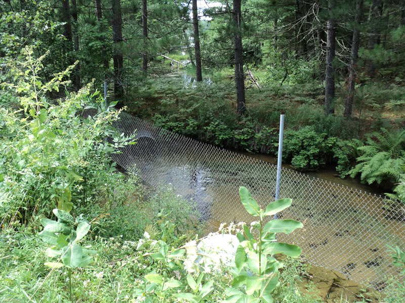
Upstream Conditions
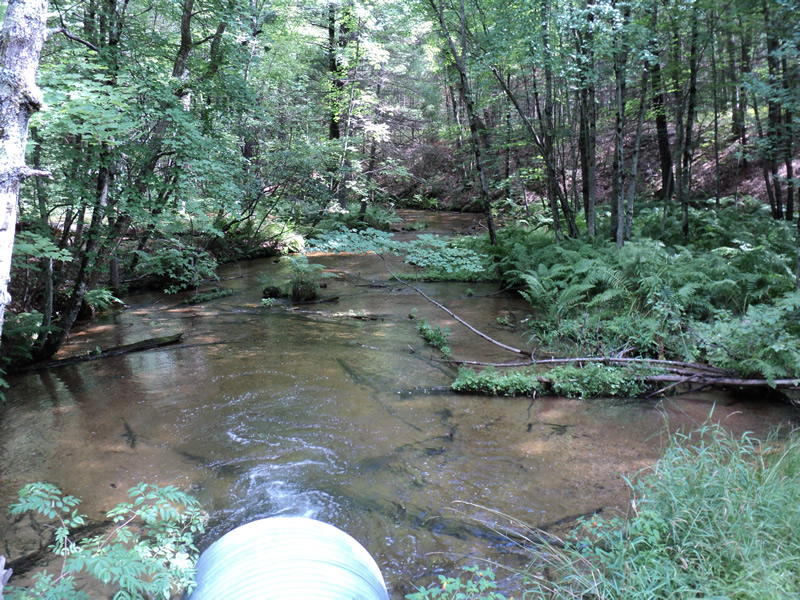
Downstream Conditions
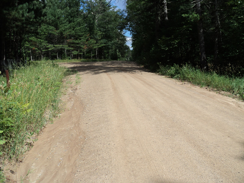
Road Approach - Left
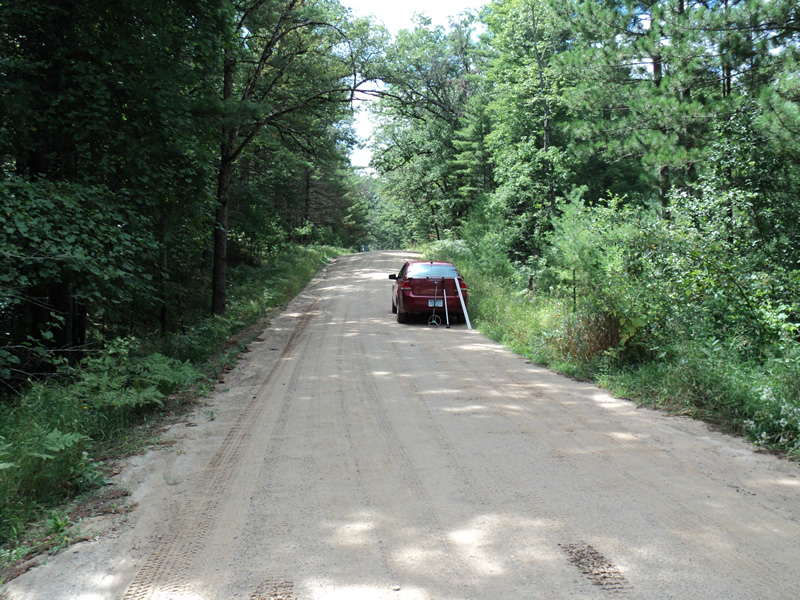
Road Approach - Right
Crossing Information
Type of Crossing: culvert(s)
Number of Structures: 1
Structure Shape: Round
Inlet Type: Projecting
Outlet Type: Freefall into Pool
Structure Material: Metal
Structure Substrate: None
General Conditions: Good
Structure Interior: corrugated
Dimensions of Structure: Length 55 ft.
, Width 4 ft.
, Height 4 ft.
Structure Inlet
Water Depth: 1.5 ft.
Embedded Depth of Structure: 0 ft.
Water Velocity*: 3 ft./sec.
Structure Outlet
Water Depth: 0.5 ft.
Embedded Depth of Structure: 0 ft.
Water Velocity*: 8 ft./sec.
*Water Velocities were measured 1 ft. below Surface
(with Meter)
Additional Comments
Adjacent landonwer said he saw no salmon/steelhead last spring. Conservation easement property adjacent, downstream - Betka. Dam immediatley upstream crossing and helps maintain Bray Lake water levels.
Stream Information
Stream Flow: Less than Bankfull
Scour Pool: Length 10 ft.
, Width 8 ft.
, Depth 2 ft.
Riffle Information
Water Depth: 0.5 ft.
Bankfull Width: 20 ft.
Wetted Width: 18 ft.
Water Velocity: 0.9 ft./sec.
(Measured with Meter)
Dominant Substrate: Cobble
Road Information
Gravel
County Road
Road Condition: Fair
Road Width at Culvert: 19 ft.
Location of Low Point: At Stream
Runoff Path: Roadway
Embankments
Upstream
Fill Depth: 6 ft.
Slope: 1:1.5
Downstream
Fill Depth: 6 ft.
Slope: 1:1.5
Approaches
Left Approach
Length: 150 ft.
Slope: 1% to 5%
Vegetation: Heavy
LS Factor: 0.4
Erosion: 0.314 tons/year
Right Approach
Length: 250 ft.
Slope: 1% to 5%
Vegetation: Heavy
LS Factor: 0.44
Erosion: 0.5758 tons/year
Erosion Information
Total Erosion at Crossing: 1.1558 tons/year
Extent of Erosion: Moderate
Notes: Downstream landowner reports visual observation of cloudy stream, clay during rain events.
Location of Erosion | Erosion Dimensions | Eroded Material | Material Eroded | Total Erosion | ||
facing downstream | Length | Width | Depth | Reaching Stream? | (tons/year) | |
Left Approach |
150 ft. |
19 ft. |
0.1 ft. |
yes |
Clay |
0.0735 |
Right Approach |
250 ft. |
19 ft. |
0.1 ft. |
yes |
Sand |
0.1925 |
Summary Information
Fish Passability 0
�