Road Stream Crossing Site PM_L031
Pere Marquette River Watershed, Sanborn Creek
US-10
Pleasant Plains Twp,
Lake County
Information collected by:
Site Location
GPS Coordinates: 43.9009054521586
, -85.8135813474655
T17N
R13W
Sec 1
Owned by Private
State
State
Total Erosion: 0.0174 tons/year
Severity: Moderate
Year Inventoried: 2014
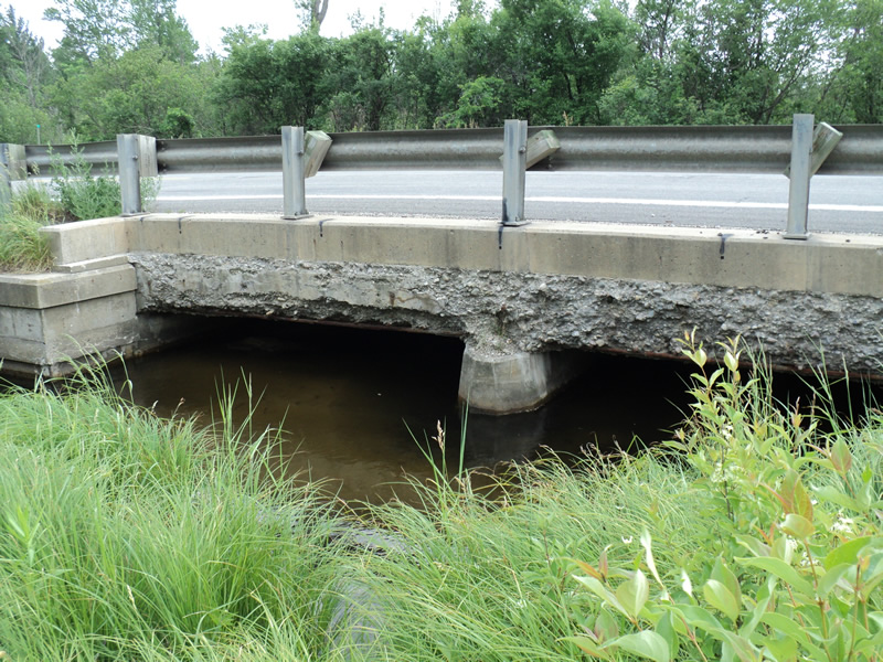
Inlet
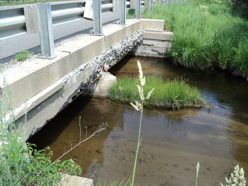
Outlet
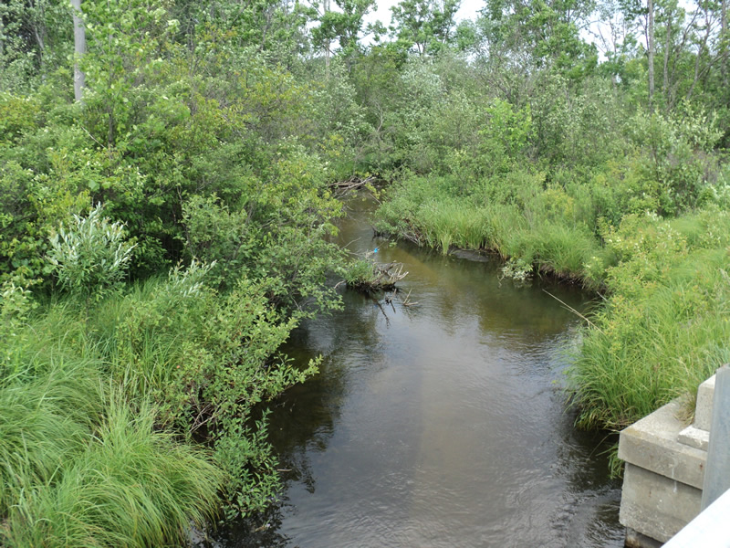
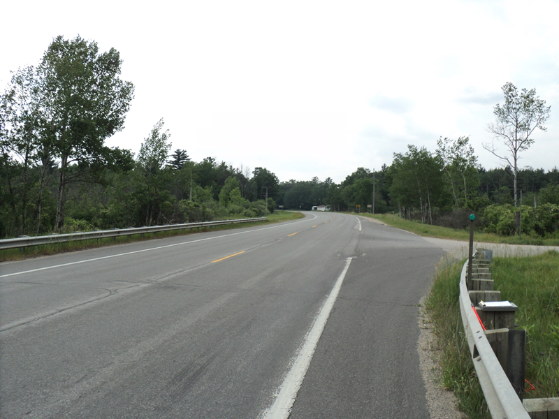
Upstream Conditions
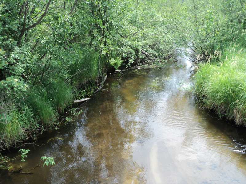
Downstream Conditions
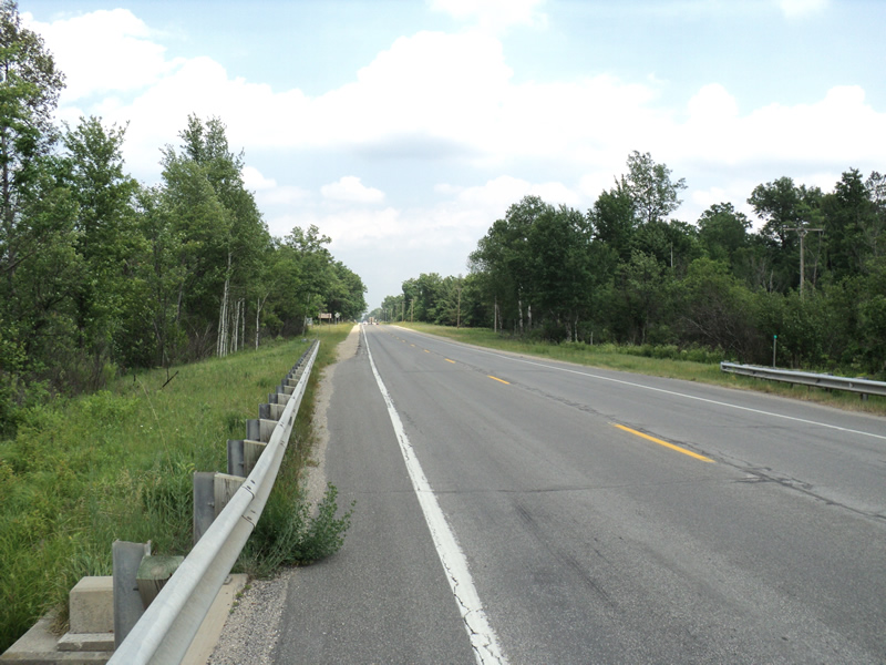
Road Approach - Left
Road Approach - Right
Crossing Information
Type of Crossing: Bridge
Structure Shape: Open Bottom Square/Rectangle
Inlet Type: Wingwall 30-70 Degree
Outlet Type: At Stream Grade
Structure Material: Concrete
Structure Substrate: Sand
General Conditions: Fair
Multiple Culverts/Spans | ||||
Culvert/Span | Width | Length | Height | Material |
1 |
13 ft. |
37 ft. |
4.5 ft. |
Concrete |
2 |
13 ft. |
37 ft. |
4.5 ft. |
Concrete |
Structure Interior: smooth
Dimensions of Structure: Length 37 ft.
, Width 26 ft.
, Height 4.5 ft.
Structure Inlet
Water Depth: 1.5 ft.
Water Velocity*: 1.1 ft./sec.
Structure Outlet
Water Depth: 0.5 ft.
Water Velocity*: 1 ft./sec.
*Water Velocities were measured 0.5 ft. below Surface
(with Meter)
Additional Comments
Side 1 inlet full of sand
Stream Information
Stream Flow: Less than 1/2 Bankfull
Riffle Information
Water Depth: 0.6 ft.
Bankfull Width: 14 ft.
Wetted Width: 12 ft.
Water Velocity: 0.6 ft./sec.
(Measured with Meter)
Dominant Substrate: Sand
Road Information
Paved
Federal Road
Road Condition: Good
Road Width at Culvert: 35 ft.
Location of Low Point: Other
Runoff Path: Ditch
Slope: Vertical
Slope: Vertical
Approaches
Left Approach
Length: 150 ft.
Slope: Less Than 1%
Vegetation: Heavy
LS Factor: 0.05
Erosion: 0.0087 tons/year
Right Approach
Length: 150 ft.
Slope: Less Than 1%
Vegetation: Heavy
LS Factor: 0.05
Erosion: 0.0087 tons/year
Erosion Information
Total Erosion at Crossing: 0.0174 tons/year
Extent of Erosion: Minor
Summary Information
Erosion is an area of concern for this site.
�