Road Stream Crossing Site PM_L032
Pere Marquette River Watershed, Middle Branch
Hawkins Rd
Chase Twp,
Lake County
Information collected by:
Site Location
GPS Coordinates: 43.8404
, -85.60233
T17N
R11W
Sec 27
Owned by Private
Fish Passability 0.9
Total Erosion: 0.8346 tons/year
Severity: Moderate
Year Inventoried: 2014
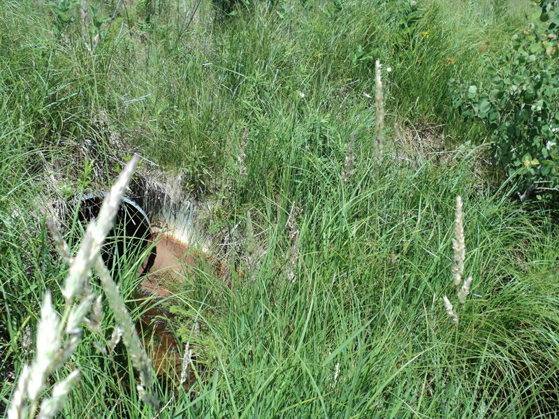
Inlet
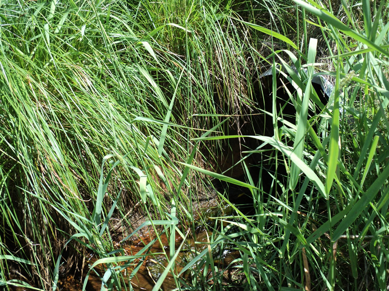
Outlet
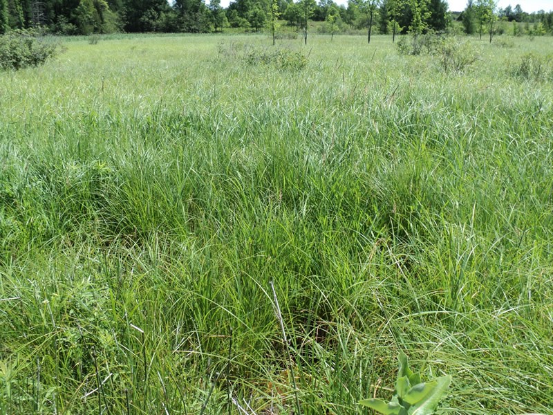
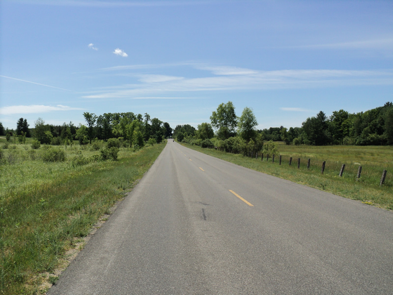
Upstream Conditions
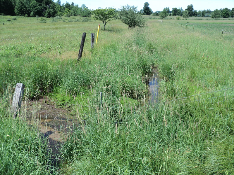
Downstream Conditions
Road Approach - Left
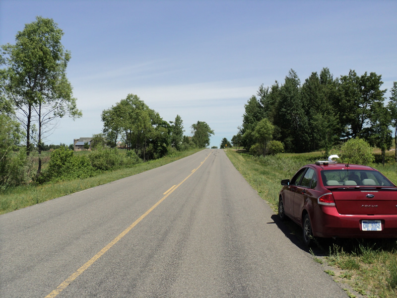
Road Approach - Right
Crossing Information
Type of Crossing: culvert(s)
Number of Structures: 2
Structure Shape: Round
Inlet Type: Apron
Outlet Type: Outlet Apron
Structure Material: Metal
Structure Substrate: Mixture
General Conditions: Fair
Multiple Culverts/Spans | ||||
Culvert/Span | Width | Length | Height | Material |
1 |
2 ft. |
54 ft. |
2 ft. |
Metal |
2 |
2 ft. |
54 ft. |
2 ft. |
Metal |
Structure Interior: corrugated
Dimensions of Structure: Length 54 ft.
, Width 2 ft.
, Height 2 ft.
Structure Inlet
Water Depth: 1 ft.
Embedded Depth of Structure: 0.2 ft.
Water Velocity*: 0.1 ft./sec.
Structure Outlet
Water Depth: 1 ft.
Water Velocity*: 0.1 ft./sec.
*Water Velocities were measured at the Surface
(with Meter)
Additional Comments
Riffle info is estimated from a distance due to barbed wire fence blocking access
No flow in culvert 2
Stream Information
Stream Flow: Less than 1/2 Bankfull
Riffle Information
Water Depth: 0.2 ft.
Bankfull Width: 4 ft.
Wetted Width: 2 ft.
Water Velocity: 0.6 ft./sec.
(Measured with Meter)
Dominant Substrate: Gravel
Road Information
Paved
County Road
Road Condition: Good
Road Width at Culvert: 27 ft.
Location of Low Point: At Stream
Runoff Path: Ditch
Embankments
Upstream
Fill Depth: 4 ft.
Slope: More than 1:2
Downstream
Fill Depth: 4 ft.
Slope: More than 1:2
Approaches
Left Approach
Length: 1000 ft.
Slope: 1% to 5%
Vegetation: Heavy
LS Factor: 0.57
Erosion: 0.5088 tons/year
Right Approach
Length: 270 ft.
Slope: 6% to 10%
Vegetation: Heavy
LS Factor: 1.352
Erosion: 0.3258 tons/year
Erosion Information
Total Erosion at Crossing: 0.8346 tons/year
Extent of Erosion: Minor
Summary Information
Fish Passability 0.9
�