Road Stream Crossing Site PM_L039
Pere Marquette River Watershed, Middle Branch tributary
72nd St
Chase Twp,
Lake County
Information collected by:
Site Location
GPS Coordinates: 43.8588
, -85.58749
T17N
R11W
Sec 14
Owned by Private
Total Erosion: 0.0994 tons/year
Severity: Minor
Year Inventoried: 2014
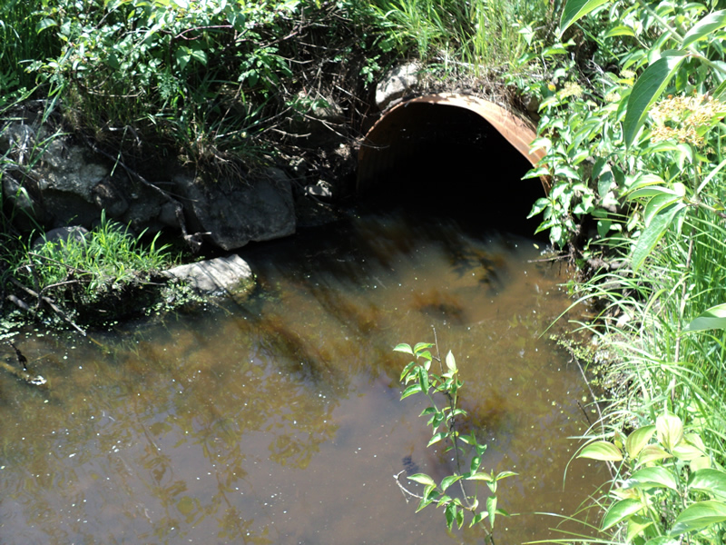
Inlet
Outlet
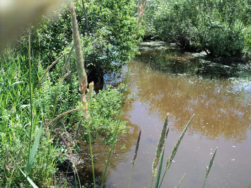
Upstream Conditions
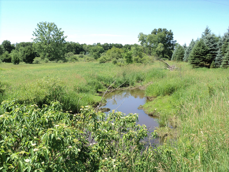
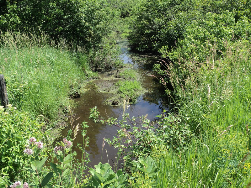
Downstream Conditions
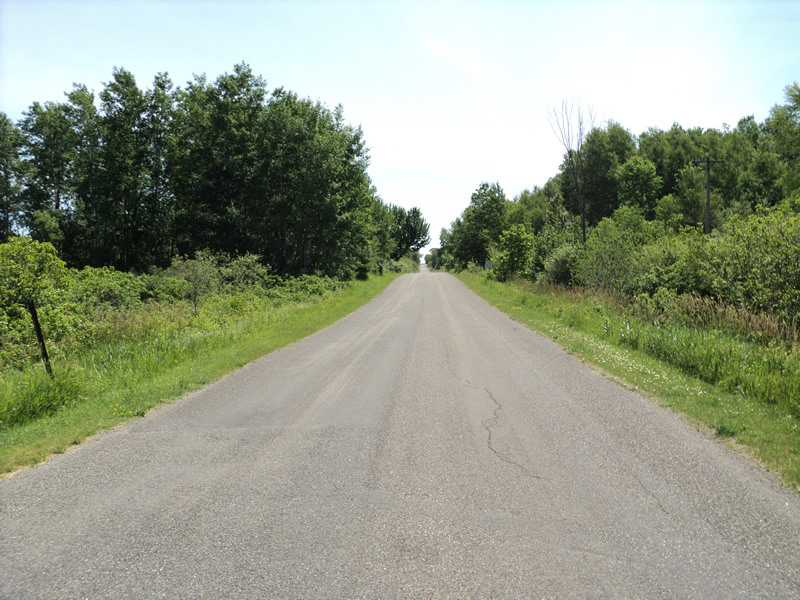
Road Approach - Left
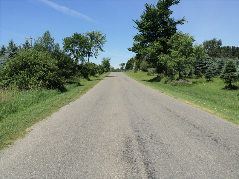
Road Approach - Right
Crossing Information
Type of Crossing: culvert(s)
Number of Structures: 1
Structure Shape: Round
Inlet Type: Projecting
Outlet Type: At Stream Grade
Structure Material: Metal
Structure Substrate: Mixture
General Conditions: Fair
Structure Interior: corrugated
Dimensions of Structure: Length 60 ft.
, Width 3 ft.
, Height 3 ft.
Structure Inlet
Water Depth: 1.3 ft.
Embedded Depth of Structure: 0.5 ft.
Water Velocity*: 0 ft./sec.
Structure Outlet
Water Depth: 1.2 ft.
Water Velocity*: 0 ft./sec.
*Water Velocities were measured at the Surface
(with Meter)
Additional Comments
stagnant-mucky
Stream Information
Stream Flow: None
Road Information
Paved
County Road
Road Condition: Good
Road Width at Culvert: 23 ft.
Location of Low Point: At Stream
Runoff Path: Ditch
Embankments
Upstream
Fill Depth: 3.5 ft.
Slope: 1:2
Downstream
Approaches
Left Approach
Length: 180 ft.
Slope: 1% to 5%
Vegetation: Heavy
LS Factor: 0.418
Erosion: 0.0572 tons/year
Right Approach
Length: 140 ft.
Slope: 1% to 5%
Vegetation: Heavy
LS Factor: 0.396
Erosion: 0.0422 tons/year
Erosion Information
Total Erosion at Crossing: 0.0994 tons/year
Extent of Erosion: Minor
Summary Information
�