Road Stream Crossing Site PM_L042
Pere Marquette River Watershed, Middle Branch
Depot St
Chase Twp,
Lake County
Information collected by:
Site Location
GPS Coordinates: 43.885374187007
, -85.637172460556
T17N
R11W
Sec 9
Owned by Private
Total Erosion: 1.6356 tons/year
Severity: Moderate
Year Inventoried: 2014
Inlet
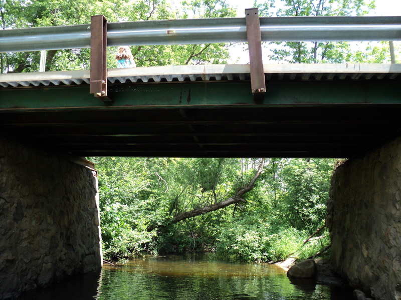
Outlet
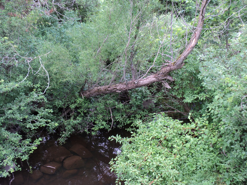
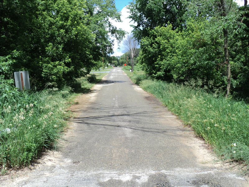
Upstream Conditions
Downstream Conditions
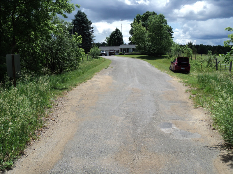
Road Approach - Left
Road Approach - Right
Crossing Information
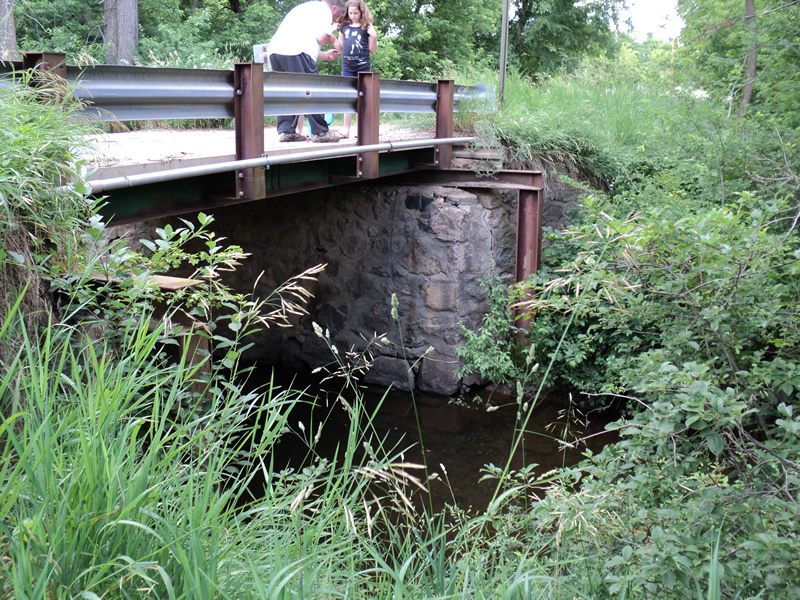
Type of Crossing: Bridge
Structure Shape: Open Bottom Square/Rectangle
Inlet Type: Wingwall 30-70 Degree
Outlet Type: At Stream Grade
Structure Material: Concrete
Structure Substrate: Rock
General Conditions: Poor
Structure Interior: smooth
Dimensions of Structure: Length 15 ft.
, Width 22 ft.
, Height 12 ft.
Structure Inlet
Water Depth: 1.8 ft.
Water Velocity*: 0.1 ft./sec.
Structure Outlet
Water Depth: 2 ft.
Water Velocity*: 0.1 ft./sec.
*Water Velocities were measured 0.5 ft. below Surface
(with Meter)
Additional Comments
local resident commented on poor condition of bridge-bridge has stone foundation
Stream Information
Stream Flow: Less than 1/2 Bankfull
Riffle Information
Water Depth: 0.6 ft.
Bankfull Width: 11 ft.
Wetted Width: 10 ft.
Water Velocity: 0.2 ft./sec.
(Measured with Meter)
Dominant Substrate: Gravel
Road Information
Gravel
County Road
Road Condition: Fair
Road Width at Culvert: 15 ft.
Location of Low Point: At Stream
Runoff Path: Ditch
Slope: Vertical
Slope: Vertical
Approaches
Left Approach
Length: 155 ft.
Slope: 6% to 10%
Vegetation: Heavy
LS Factor: 1.131
Erosion: 0.7244 tons/year
Right Approach
Length: 450 ft.
Slope: 1% to 5%
Vegetation: Heavy
LS Factor: 0.49
Erosion: 0.9112 tons/year
Erosion Information
Total Erosion at Crossing: 1.6356 tons/year
Extent of Erosion: Moderate
Summary Information
Erosion is an area of concern for this site.
A future visit to this site is recommended.
bridge in poor condition
�