Road Stream Crossing Site PM_L044
Pere Marquette River Watershed, Middle Branch tributary
Baker Rd
Chase Twp,
Lake County
Information collected by:
Site Location
GPS Coordinates: 43.8759
, -85.6524
T17N
R11W
Sec 8
Owned by Private
Fish Passability 0.9
Total Erosion: 1.4077 tons/year
Severity: Moderate
Year Inventoried: 2014
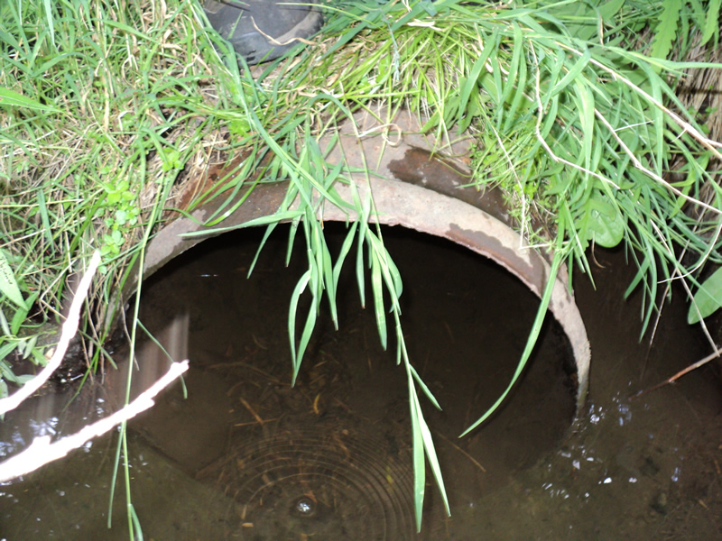
Inlet
Outlet
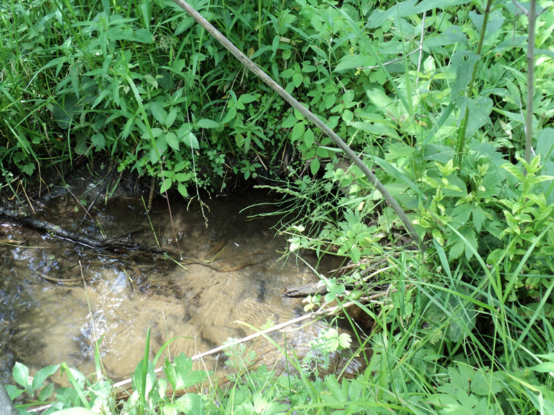
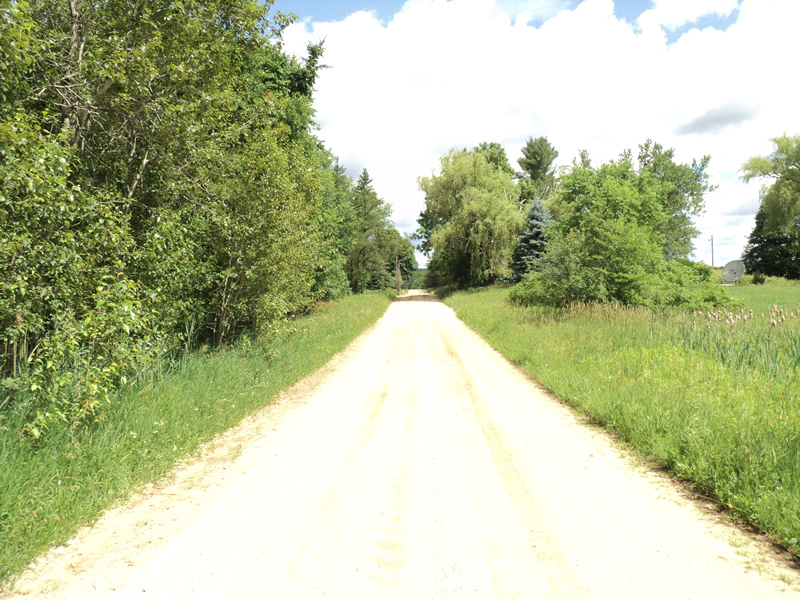
Upstream Conditions
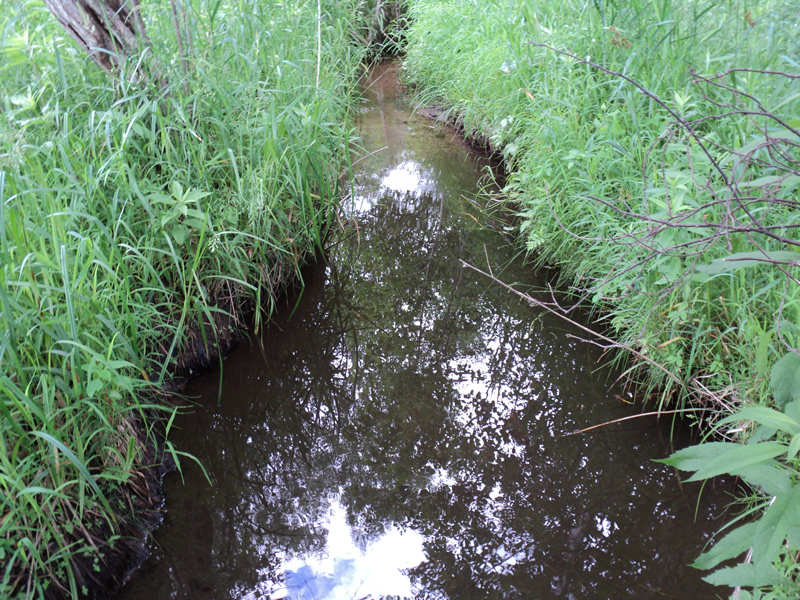
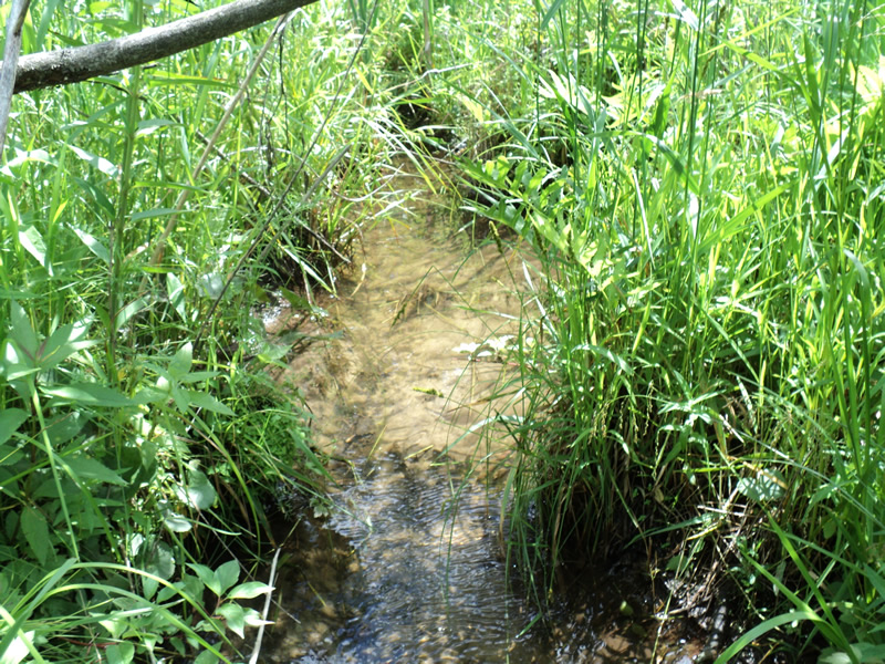
Downstream Conditions
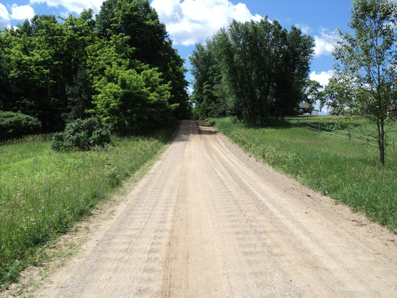
Road Approach - Left
Road Approach - Right
Crossing Information
Type of Crossing: culvert(s)
Number of Structures: 1
Structure Shape: Round
Inlet Type: Projecting
Structure Material: Metal
Structure Substrate: Sand
General Conditions: Fair
Structure Interior: corrugated
Dimensions of Structure: Length 55 ft.
, Width 1.5 ft.
, Height 1.5 ft.
Percentage Plugged:
In Pipe: 1% to 25%
Structure Inlet
Water Depth: 0.3 ft.
Embedded Depth of Structure: 0.5 ft.
Water Velocity*: 0.8 ft./sec.
Structure Outlet
Water Depth: 0.6 ft.
Embedded Depth of Structure: 0.2 ft.
Water Velocity*: 0.3 ft./sec.
*Water Velocities were measured 0.2 ft. below Surface
(with Meter)
Stream Information
Stream Flow: Less than 1/2 Bankfull
Riffle Information
Water Depth: 0.4 ft.
Bankfull Width: 3 ft.
Wetted Width: 2 ft.
Water Velocity: 0.6 ft./sec.
(Measured with Meter)
Dominant Substrate: Sand
Road Information
Gravel
County Road
Road Condition: Fair
Road Width at Culvert: 18 ft.
Location of Low Point: At Stream
Runoff Path: Roadway
Embankments
Upstream
Fill Depth: 1.5 ft.
Slope: More than 1:2
Downstream
Fill Depth: 2 ft.
Slope: More than 1:2
Approaches
Left Approach
Length: 170 ft.
Slope: 6% to 10%
Vegetation: Heavy
LS Factor: 1.164
Erosion: 0.9812 tons/year
Right Approach
Length: 200 ft.
Slope: 1% to 5%
Vegetation: Heavy
LS Factor: 0.43
Erosion: 0.4264 tons/year
Erosion Information
Total Erosion at Crossing: 1.4077 tons/year
Summary Information
Fish Passability 0.9
�