Road Stream Crossing Site PM_L047
Pere Marquette River Watershed, Middle Branch
64th St
Chase Twp,
Lake County
Information collected by:
Site Location
GPS Coordinates: 43.87333
, -85.66837
T17N
R11W
Sec 7
Owned by Private
Fish Passability 0.9
Total Erosion: 0.2457 tons/year
Severity: Moderate
Year Inventoried: 2014
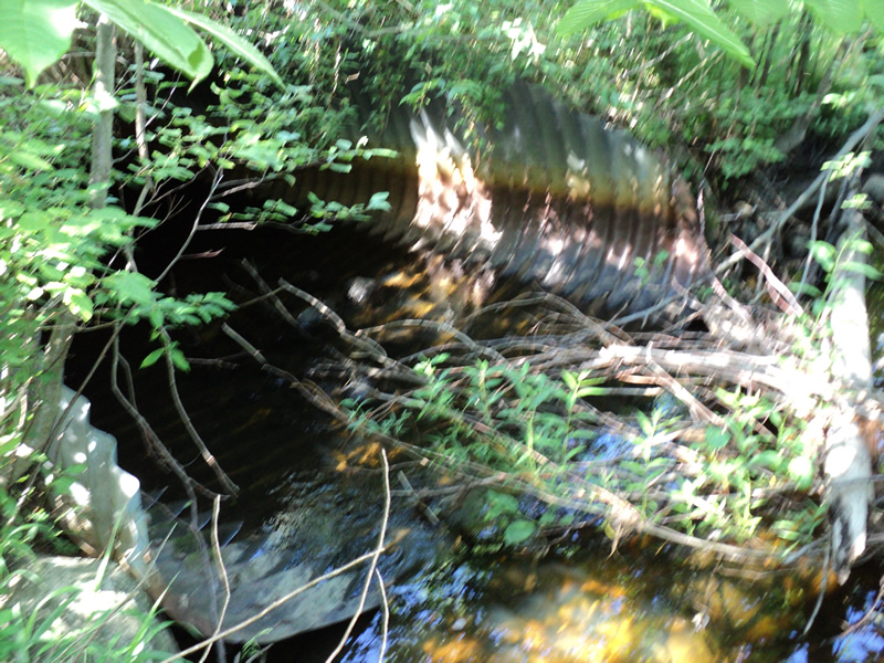
Inlet
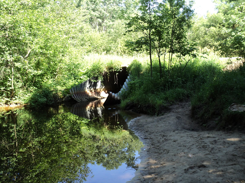
Outlet
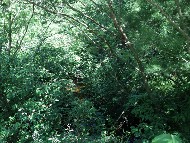
Upstream Conditions
Downstream Conditions
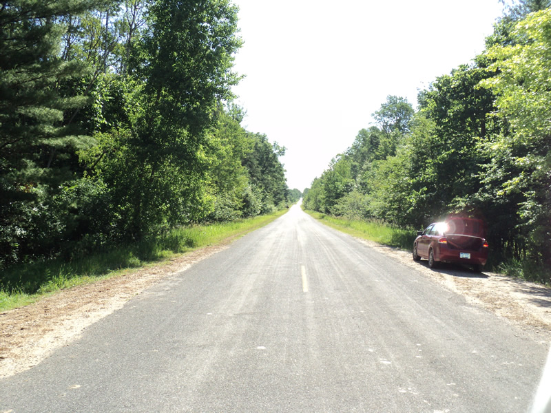
Road Approach - Left
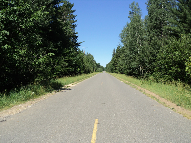
Road Approach - Right
Crossing Information
Type of Crossing: culvert(s)
Number of Structures: 1
Structure Shape: Pipe Arch
Inlet Type: Mitered
Outlet Type: At Stream Grade
Structure Material: Metal
Structure Substrate: Mixture
General Conditions: Fair
Structure Interior: corrugated
Dimensions of Structure: Length 58 ft.
, Width 11.5 ft.
, Height 7 ft.
Percentage Plugged:
Inlet: 1% to 25%
Percentage Crushed:
Inlet: 0%
Outlet: 1% to 25%
In Pipe: 1% to 25%
Structure Inlet
Water Depth: 1.2 ft.
Water Velocity*: 0.5 ft./sec.
Structure Outlet
Water Depth: 1 ft.
Water Velocity*: 0.6 ft./sec.
*Water Velocities were measured 0.5 ft. below Surface
(with Meter)
Additional Comments
heavily used swimming hole at outlet
Stream Information
Stream Flow: Less than 1/2 Bankfull
Scour Pool: Length 55 ft.
, Width 51 ft.
, Depth 8 ft.
Riffle Information
Water Depth: 0.5 ft.
Bankfull Width: 28 ft.
Wetted Width: 18 ft.
Water Velocity: 0.6 ft./sec.
(Measured with Meter)
Dominant Substrate: Gravel
Road Information
Paved
County Road
Road Condition: Good
Road Width at Culvert: 30 ft.
Location of Low Point: Other
Runoff Path: Ditch
Embankments
Upstream
Fill Depth: 1.5 ft.
Slope: More than 1:2
Downstream
Fill Depth: 1 ft.
Slope: 1:2
Approaches
Left Approach
Length: 750 ft.
Slope: Less Than 1%
Vegetation: Heavy
LS Factor: 0.05
Erosion: 0.0372 tons/year
Right Approach
Length: 200 ft.
Slope: 1% to 5%
Vegetation: Heavy
LS Factor: 0.43
Erosion: 0.0853 tons/year
Erosion Information
Total Erosion at Crossing: 0.2457 tons/year
Extent of Erosion: Moderate
Location of Erosion | Erosion Dimensions | Eroded Material | Material Eroded | Total Erosion | ||
facing downstream | Length | Width | Depth | Reaching Stream? | (tons/year) | |
Left Downstream Embankment |
20 ft. |
3 ft. |
0.8 ft. |
yes |
Sand |
0.1232 |
Summary Information
Fish Passability 0.9
�