Road Stream Crossing Site PM_L049
Pere Marquette River Watershed, Baker Creek
56th St
Yates Twp,
Lake County
Information collected by:
Site Location
GPS Coordinates: 43.887662
, -85.724169
T17N
R12W
Sec 3
Owned by Private
Structure is NOT Perched
Total Erosion: 0.0909 tons/year
Severity: Moderate
Year Inventoried: 2014
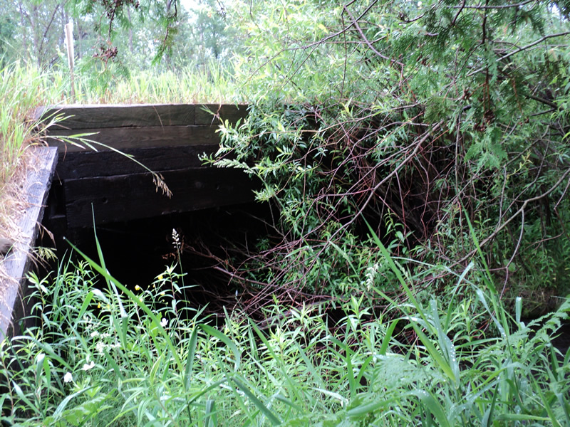
Inlet

Outlet
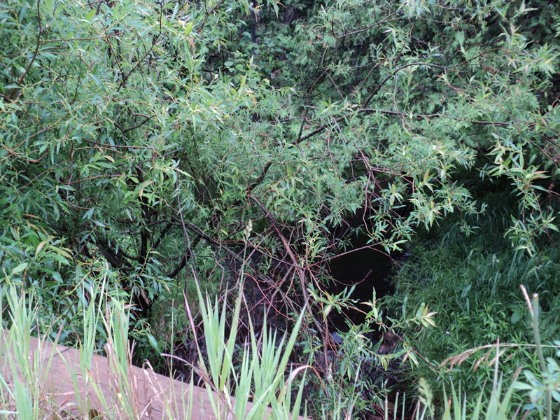
Upstream Conditions
Downstream Conditions

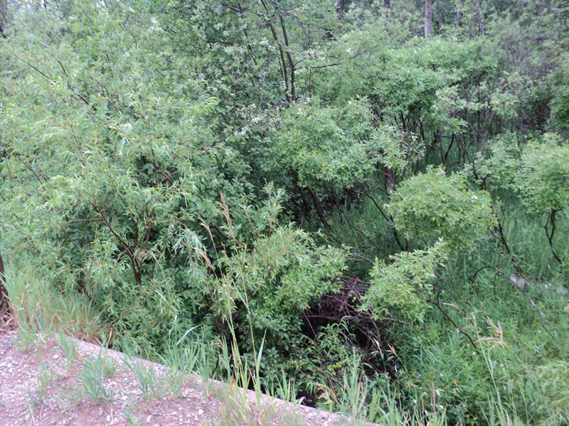
Road Approach - Left

Road Approach - Right
Crossing Information
Type of Crossing: Bridge
Structure Shape: Square/Rectangle
Inlet Type: Apron
Outlet Type: At Stream Grade
Structure Material: Wood
Structure Substrate: Sand
General Conditions: Fair
Structure Interior: smooth
Dimensions of Structure: Length 26 ft.
, Width 13 ft.
, Height 6.5 ft.
Structure is NOT Perched
Structure Inlet
Water Depth: 0.8 ft.
Water Velocity*: 1.3 ft./sec.
Structure Outlet
Water Depth: 1.5 ft.
Water Velocity*: 1.9 ft./sec.
*Water Velocities were measured 0.5 ft. below Surface
(with Meter)
Stream Information
Stream Flow: Less than Bankfull
Riffle Information
Water Depth: 1.2 ft.
Bankfull Width: 7.5 ft.
Wetted Width: 6 ft.
Water Velocity: 2.1 ft./sec.
(Measured with Meter)
Dominant Substrate: Sand
Road Information
Gravel
County Road
Road Condition: Fair
Road Width at Culvert: 22 ft.
Location of Low Point: Other
Runoff Path: Ditch
Slope: Vertical
Slope: Vertical
Approaches
Left Approach
Length: 150 ft.
Slope: Less Than 1%
Vegetation: Heavy
LS Factor: 0.05
Erosion: 0.0455 tons/year
Right Approach
Length: 150 ft.
Slope: Less Than 1%
Vegetation: Heavy
LS Factor: 0.05
Erosion: 0.0455 tons/year
Erosion Information
Total Erosion at Crossing: 0.0909 tons/year
Extent of Erosion: Minor
Summary Information
Erosion is an area of concern for this site.
�