Road Stream Crossing Site PM_L053
Pere Marquette River Watershed, Baker Creek
Kings Highway
Yates Twp,
Lake County
Information collected by:
Site Location
GPS Coordinates: 43.88482
, -85.72189
T17N
R12W
Sec 10
Owned by Private
Fish Passability 0.9
Total Erosion: 0.1444 tons/year
Severity: Moderate
Year Inventoried: 2014
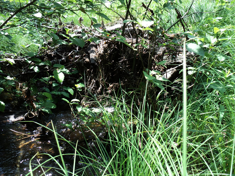
Inlet
Outlet
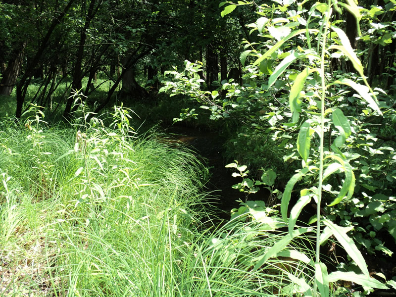
Upstream Conditions
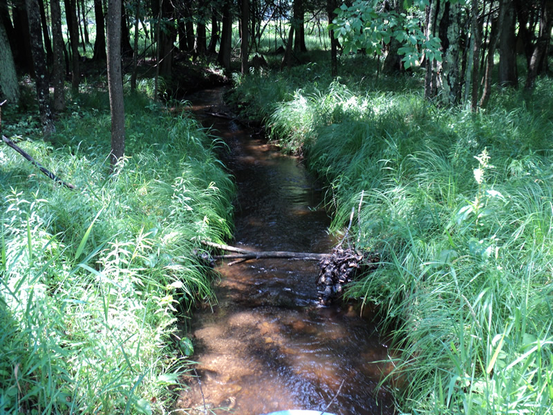
Downstream Conditions
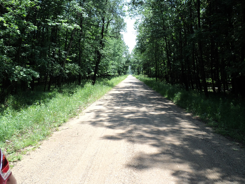
Road Approach - Left
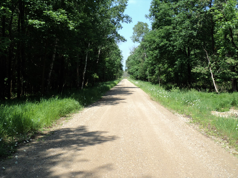
Road Approach - Right
Crossing Information
Type of Crossing: culvert(s)
Number of Structures: 1
Structure Shape: Pipe Arch
Inlet Type: Projecting
Outlet Type: At Stream Grade
Structure Material: Metal
Structure Substrate: Mixture
General Conditions: Fair
Structure Interior: corrugated
Dimensions of Structure: Length 40 ft.
, Width 3 ft.
, Height 2.3 ft.
Percentage Plugged:
Inlet: 26% to 50%
Structure Inlet
Water Depth: 0.6 ft.
Embedded Depth of Structure: 0.2 ft.
Water Velocity*: 1 ft./sec.
Structure Outlet
Water Depth: 0.7 ft.
Embedded Depth of Structure: 0.2 ft.
Water Velocity*: 1.4 ft./sec.
*Water Velocities were measured 0.2 ft. below Surface
(with Meter)
Additional Comments
recent rain prior to survey
inlet blocked by debris forcing some water to run into ditch
Stream Information
Stream Flow: Less than 1/2 Bankfull
Riffle Information
Water Depth: 0.3 ft.
Bankfull Width: 7 ft.
Wetted Width: 5 ft.
Water Velocity: 2.3 ft./sec.
(Measured with Meter)
Dominant Substrate: Gravel
Road Information
Gravel
County Road
Road Condition: Fair
Road Width at Culvert: 18 ft.
Location of Low Point: Other
Runoff Path: Roadway
Embankments
Upstream
Fill Depth: 1 ft.
Slope: More than 1:2
Downstream
Fill Depth: 1.5 ft.
Slope: More than 1:2
Approaches
Left Approach
Length: 150 ft.
Slope: Less Than 1%
Vegetation: Heavy
LS Factor: 0.05
Erosion: 0.0372 tons/year
Right Approach
Length: 150 ft.
Slope: Less Than 1%
Vegetation: Heavy
LS Factor: 0.05
Erosion: 0.0372 tons/year
Erosion Information
Total Erosion at Crossing: 0.1444 tons/year
Extent of Erosion: Moderate
Location of Erosion | Erosion Dimensions | Eroded Material | Material Eroded | Total Erosion | ||
facing downstream | Length | Width | Depth | Reaching Stream? | (tons/year) | |
Right Upstream Ditch |
20 ft. |
5 ft. |
0.5 ft. |
yes |
Gravel |
0.07 |
Summary Information
Fish Passability 0.9
�