Road Stream Crossing Site PM_L054
Pere Marquette River Watershed, Baker Creek
Kings Highway
Yates Twp,
Lake County
Information collected by:
Site Location
GPS Coordinates: 43.88321
, -85.72165
T17N
R12W
Sec 10
Owned by Private
Fish Passability 0
Total Erosion: 0.0702 tons/year
Severity: Severe
Year Inventoried: 2014
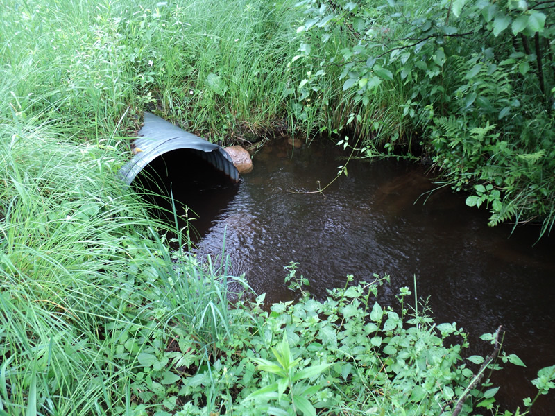
Inlet
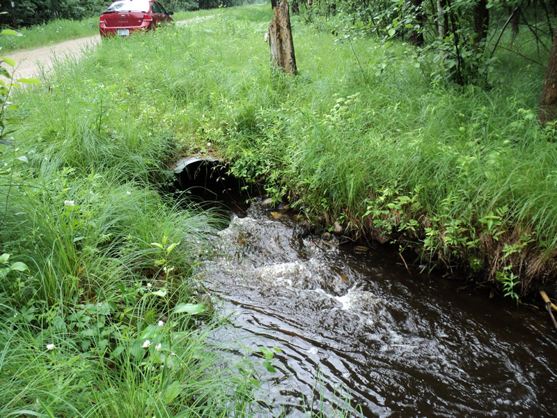
Outlet
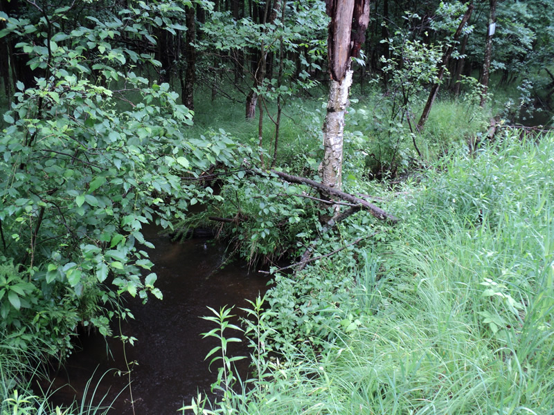
Upstream Conditions
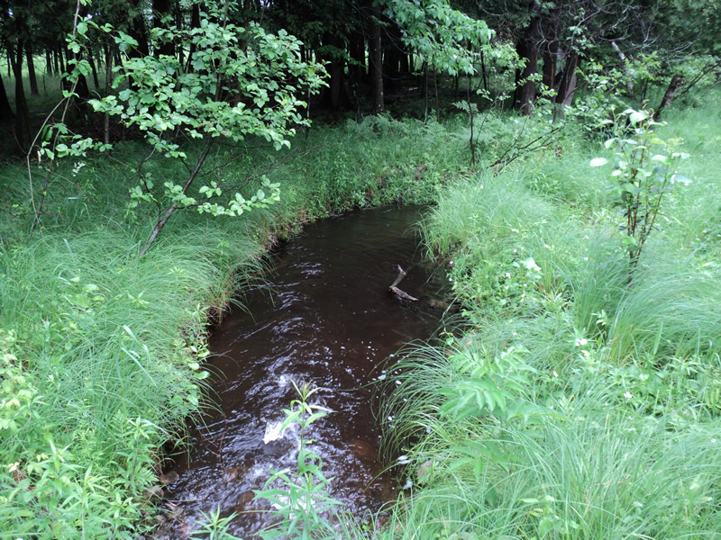
Downstream Conditions
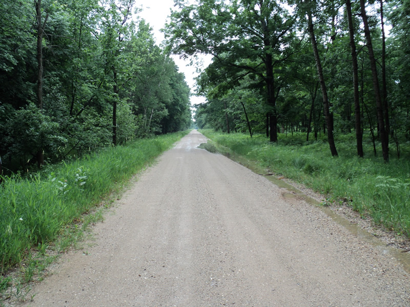
Road Approach - Left
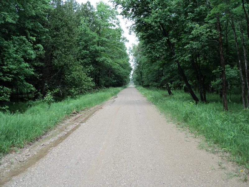
Road Approach - Right
Crossing Information
Type of Crossing: culvert(s)
Number of Structures: 1
Structure Shape: Pipe Arch
Inlet Type: Projecting
Outlet Type: Cascade over Riprap
Structure Material: Metal
Structure Substrate: Mixture
General Conditions: Good
Structure Interior: corrugated
Dimensions of Structure: Length 60 ft.
, Width 3 ft.
, Height 2 ft.
Structure Inlet
Water Depth: 0.9 ft.
Embedded Depth of Structure: 0.2 ft.
Water Velocity*: 2.1 ft./sec.
Structure Outlet
Water Depth: 0.7 ft.
Embedded Depth of Structure: 0.5 ft.
Water Velocity*: 3.2 ft./sec.
*Water Velocities were measured 0.5 ft. below Surface
(with Meter)
Additional Comments
recent rain prior to survey
Stream Information
Stream Flow: Less than Bankfull
Riffle Information
Water Depth: 0.7 ft.
Bankfull Width: 8 ft.
Wetted Width: 7 ft.
Water Velocity: 1 ft./sec.
(Measured with Meter)
Dominant Substrate: Sand
Road Information
Gravel
County Road
Road Condition: Fair
Road Width at Culvert: 17 ft.
Location of Low Point: Other
Runoff Path: Roadway
Embankments
Upstream
Fill Depth: 1 ft.
Slope: More than 1:2
Downstream
Fill Depth: 1 ft.
Slope: More than 1:2
Approaches
Left Approach
Length: 150 ft.
Slope: Less Than 1%
Vegetation: Heavy
LS Factor: 0.05
Erosion: 0.0351 tons/year
Right Approach
Length: 150 ft.
Slope: Less Than 1%
Vegetation: Heavy
LS Factor: 0.05
Erosion: 0.0351 tons/year
Erosion Information
Total Erosion at Crossing: 0.0702 tons/year
Summary Information
Fish Passability 0
�