Road Stream Crossing Site PM_L055
Pere Marquette River Watershed, Middle Branch
Queens Hwy
Yates Twp,
Lake County
Information collected by:
Site Location
GPS Coordinates: 43.85818
, -85.70177
T17N
R12W
Sec 23
Owned by Private
Federal
Federal
Total Erosion: 3.1215 tons/year
Severity: Severe
Year Inventoried: 2014
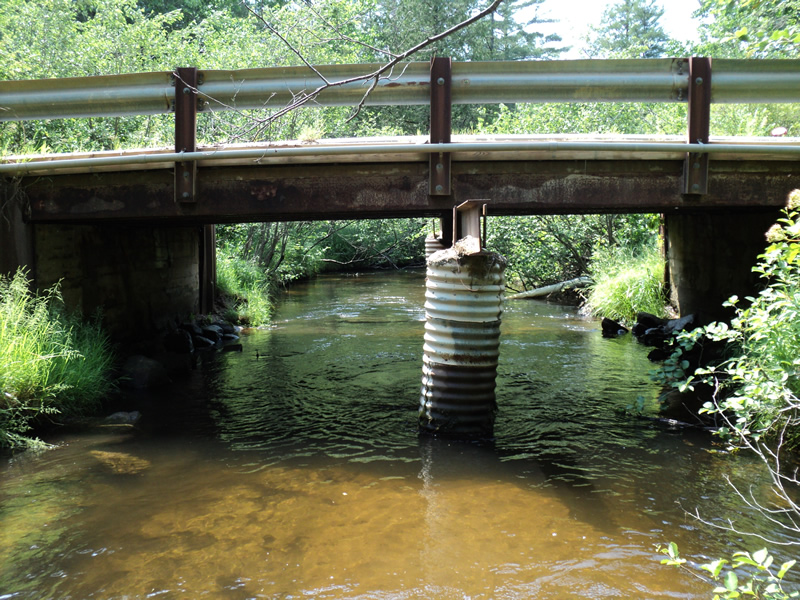
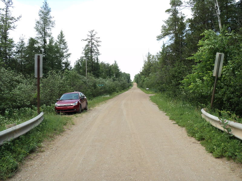
Inlet
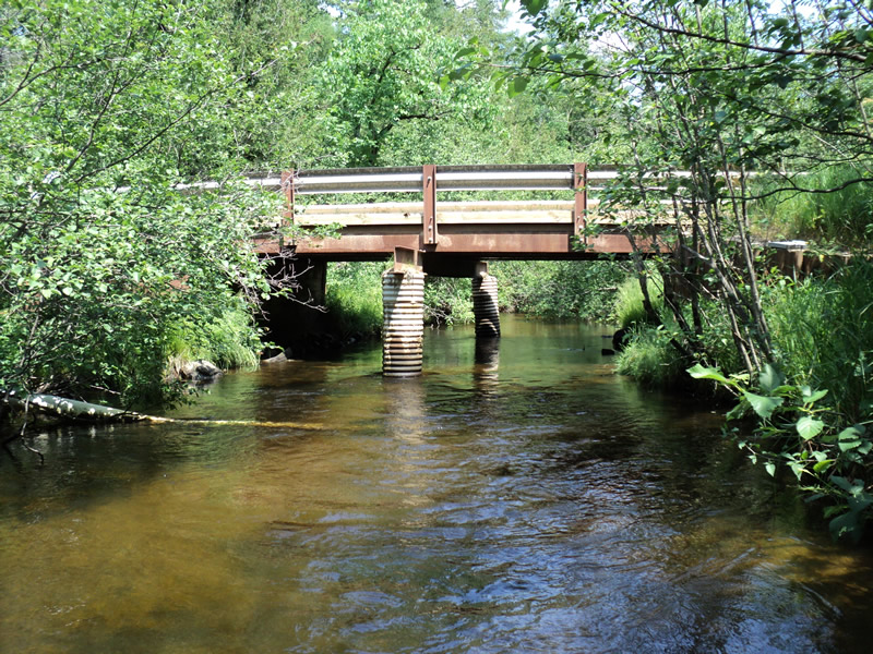
Outlet
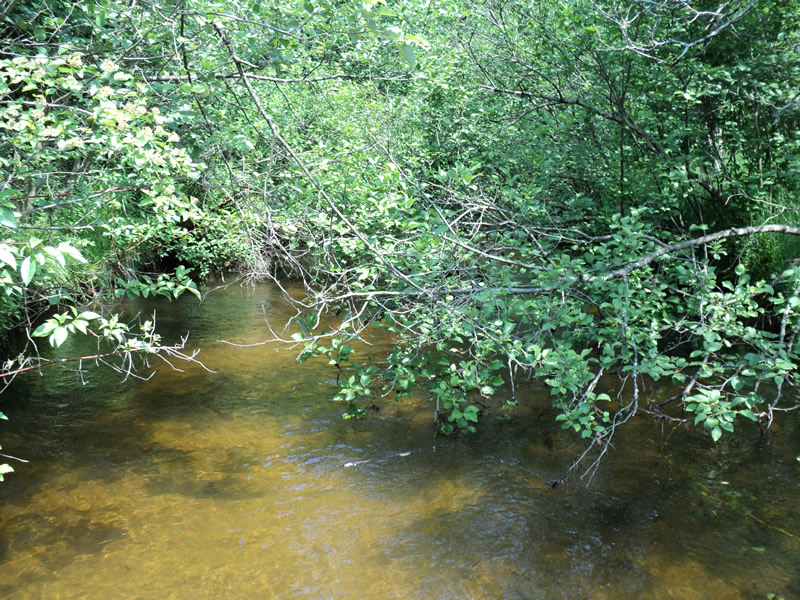
Upstream Conditions
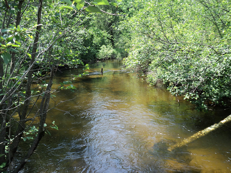
Downstream Conditions
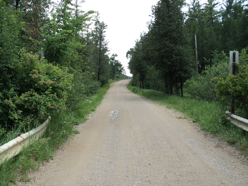
Road Approach - Left
Road Approach - Right
Crossing Information
Type of Crossing: Bridge
Structure Shape: Open Bottom Square/Rectangle
Inlet Type: Wingwall 30-70 Degree
Outlet Type: At Stream Grade
Structure Material: Concrete
Structure Substrate: Mixture
General Conditions: Fair
Structure Interior: smooth
Dimensions of Structure: Length 17 ft.
, Width 22 ft.
, Height 7.5 ft.
Structure Inlet
Water Depth: 2.1 ft.
Water Velocity*: 1.2 ft./sec.
Structure Outlet
Water Depth: 1.4 ft.
Water Velocity*: 1.5 ft./sec.
*Water Velocities were measured 0.5 ft. below Surface
(with Meter)
Additional Comments
Asphalt over bridge.
Stream Information
Stream Flow: Less than 1/2 Bankfull
Riffle Information
Water Depth: 1.3 ft.
Bankfull Width: 25 ft.
Wetted Width: 18 ft.
Water Velocity: 1.1 ft./sec.
(Measured with Meter)
Dominant Substrate: Sand
Road Information
Gravel
County Road
Road Condition: Fair
Road Width at Culvert: 17 ft.
Location of Low Point: At Stream
Runoff Path: Roadway
Slope: Vertical
Slope: Vertical
Approaches
Left Approach
Length: 325 ft.
Slope: 6% to 10%
Vegetation: Heavy
LS Factor: 1.433
Erosion: 2.1803 tons/year
Right Approach
Length: 400 ft.
Slope: 1% to 5%
Vegetation: Heavy
LS Factor: 0.48
Erosion: 0.8992 tons/year
Erosion Information
Total Erosion at Crossing: 3.1215 tons/year
Extent of Erosion: Minor
Location of Erosion | Erosion Dimensions | Eroded Material | Material Eroded | Total Erosion | ||
facing downstream | Length | Width | Depth | Reaching Stream? | (tons/year) | |
Right Approach |
200 ft. |
1 ft. |
0.1 ft. |
yes |
Sand |
0.022 |
Left Approach |
200 ft. |
1 ft. |
0.1 ft. |
yes |
Gravel |
0.02 |
Summary Information
Erosion is an area of concern for this site.
�