Road Stream Crossing Site PM_L057
Pere Marquette River Watershed, Blood Creek
72nd St
Yates Twp,
Lake County
Information collected by:
Site Location
GPS Coordinates: 43.8577702393796
, -85.792646035552
T17N
R12W
Sec 18
Owned by Private
Federal
Federal
Severity: Restored
Year Inventoried: 2023
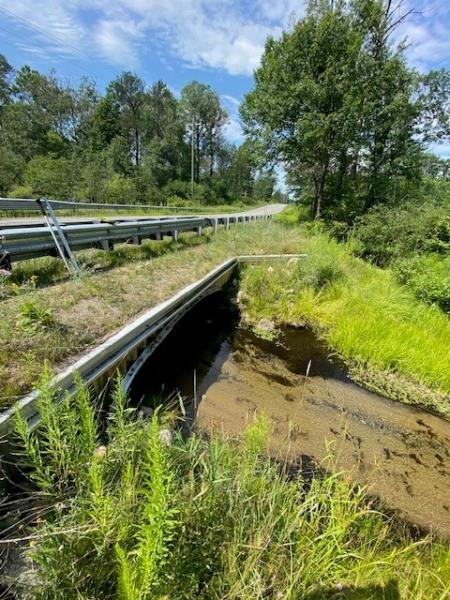
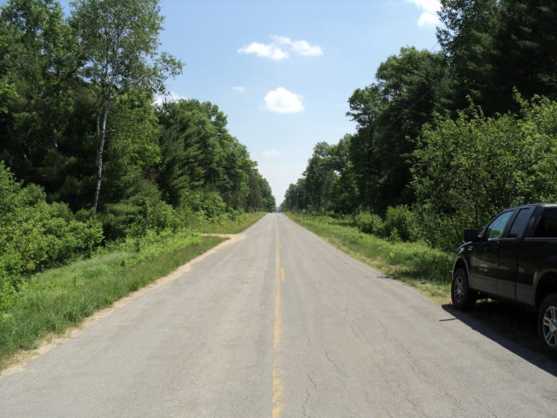
Inlet
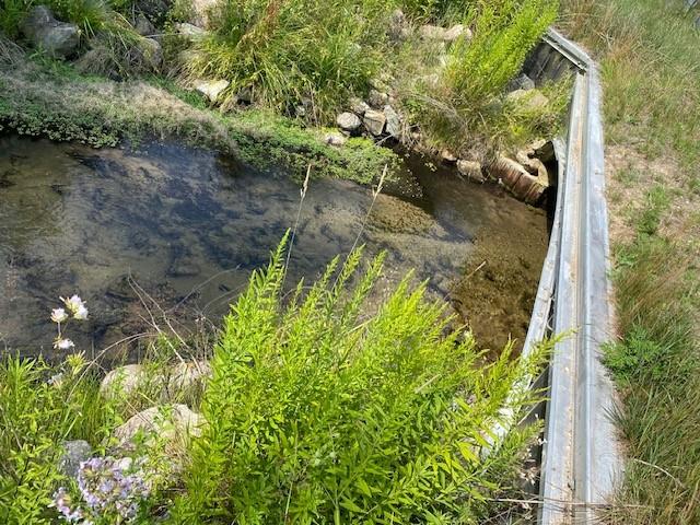
Outlet
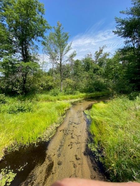
Upstream Conditions
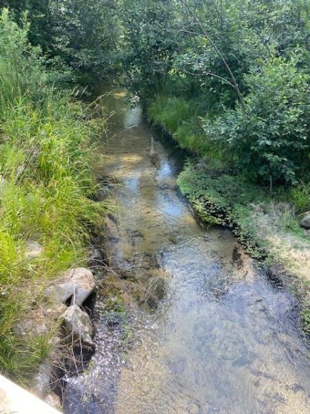
Downstream Conditions
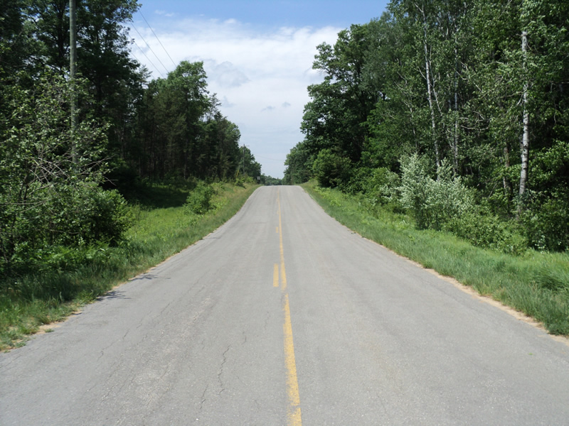
Road Approach - Left
Road Approach - Right
Crossing Information
Type of Crossing: culvert(s)
Number of Structures: 1
Structure Shape: Open Bottom Square/Rectangle
Inlet Type: Wingwall 10-30 Degree
Outlet Type: At Stream Grade
Structure Material: Metal
Structure Substrate: Mixture
General Conditions: New
Structure Interior: corrugated
Dimensions of Structure: Length 55 ft.
, Width 14 ft.
, Height 5 ft.
Structure Inlet
Water Depth: 1 ft.
Embedded Depth of Structure: 0.3 ft.
Water Velocity*: 1.9 ft./sec.
Structure Outlet
Water Depth: 1.15 ft.
Embedded Depth of Structure: 0.5 ft.
Water Velocity*: 1.6 ft./sec.
*Water Velocities were measured 0.5 ft. below Surface
(with Meter)
Stream Information
Stream Flow: Less than 1/2 Bankfull
Riffle Information
Water Depth: 0.5 ft.
Bankfull Width: 18 ft.
Wetted Width: 12 ft.
Water Velocity: 1.1 ft./sec.
(Measured with Meter)
Dominant Substrate: Sand
Road Information
Paved
County Road
Road Condition: Good
Road Width at Culvert: 25 ft.
Location of Low Point: At Stream
Runoff Path: Ditch
Embankments
Upstream
Fill Depth: 1.5 ft.
Slope: 1:1.5
Downstream
Fill Depth: 2.5 ft.
Slope: 1:1.5
Approaches
Left Approach
Length: 210 ft.
Slope: 6% to 10%
Vegetation: Heavy
LS Factor: 1.248
Erosion: 0.2166 tons/year
Right Approach
Length: 510 ft.
Slope: 1% to 5%
Vegetation: Heavy
LS Factor: 0.502
Erosion: 0.2116 tons/year
Erosion Information
Extent of Erosion: Stabilized
Notes:
Summary Information
�