Road Stream Crossing Site PM_L058
Pere Marquette River Watershed, Blood Creek
Broadway Ave
Yates Twp,
Lake County
Information collected by:
Site Location
GPS Coordinates: 43.8506593211803
, -85.7726488262415
T17N
R12W
Sec 20
Owned by Private
Federal
Federal
Perch Height: 0.5 ft.
Total Erosion: 0.0648 tons/year
Severity: Severe
Year Inventoried: 2014
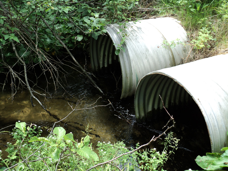
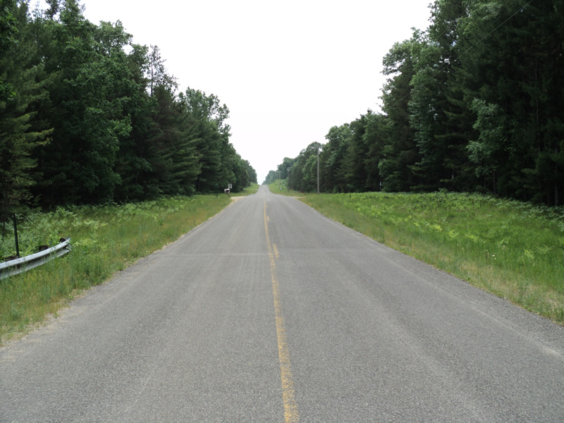
Inlet
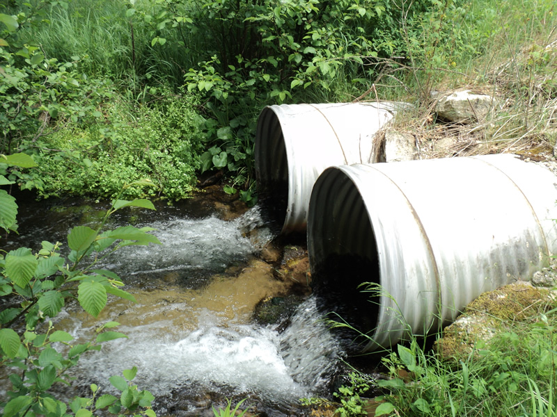
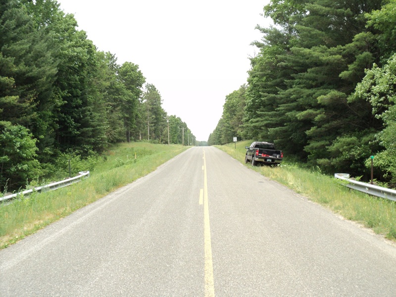
Outlet
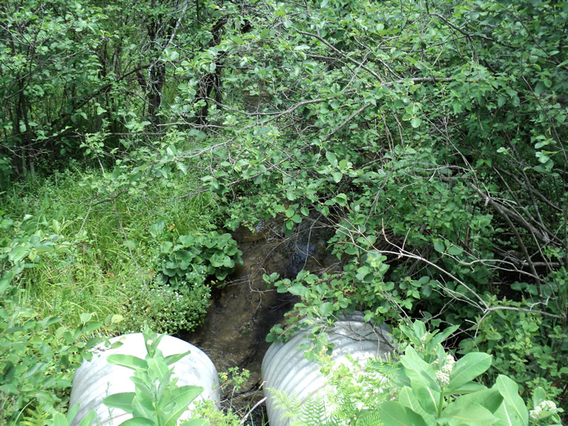
Upstream Conditions
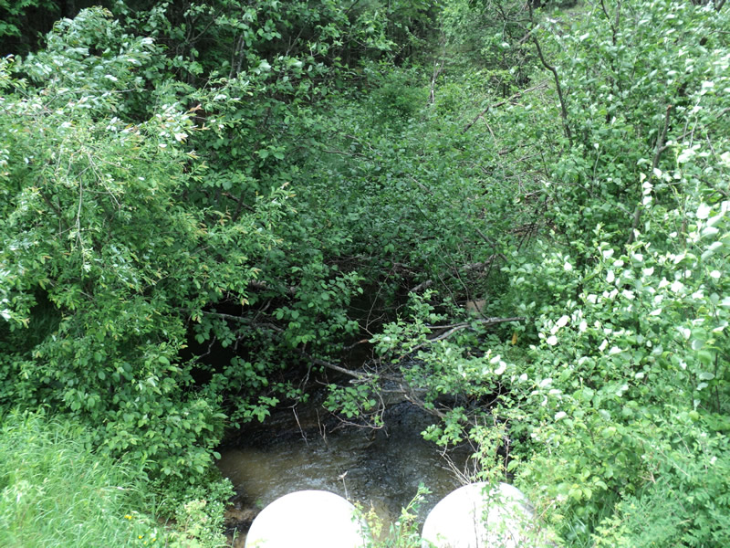
Downstream Conditions
Road Approach - Left
Road Approach - Right
Crossing Information
Type of Crossing: culvert(s)
Number of Structures: 2
Structure Shape: Round
Inlet Type: Projecting
Outlet Type: Freefall into Pool
Structure Material: Metal
Structure Substrate: Sand
General Conditions: Good
Multiple Culverts/Spans | ||||
Culvert/Span | Width | Length | Height | Material |
1 |
3 ft. |
65 ft. |
3 ft. |
Metal |
2 |
3 ft. |
65 ft. |
3 ft. |
Metal |
Structure Interior: corrugated
Dimensions of Structure: Length 65 ft.
, Width 3 ft.
, Height 3 ft.
Perch Height: 0.5 ft.
Structure Inlet
Water Depth: 1 ft.
Water Velocity*: 1 ft./sec.
Structure Outlet
Water Depth: 0.5 ft.
Water Velocity*: 5.2 ft./sec.
*Water Velocities were measured 0.5 ft. below Surface
(with Meter)
Stream Information
Stream Flow: Less than 1/2 Bankfull
Riffle Information
Water Depth: 0.3 ft.
Bankfull Width: 15 ft.
Wetted Width: 12 ft.
Water Velocity: 1.1 ft./sec.
(Measured with Meter)
Dominant Substrate: Sand
Road Information
Paved
County Road
Road Condition: Good
Road Width at Culvert: 28 ft.
Location of Low Point: At Stream
Runoff Path: Ditch
Embankments
Upstream
Fill Depth: 7 ft.
Slope: 1:1.5
Downstream
Fill Depth: 8 ft.
Slope: 1:1.5
Approaches
Left Approach
Length: 150 ft.
Slope: Less Than 1%
Vegetation: Heavy
LS Factor: 0.05
Erosion: 0.0069 tons/year
Right Approach
Length: 155 ft.
Slope: 1% to 5%
Vegetation: Heavy
LS Factor: 0.403
Erosion: 0.0578 tons/year
Erosion Information
Total Erosion at Crossing: 0.0648 tons/year
Extent of Erosion: Moderate
Summary Information
Erosion is an area of concern for this site.
�