Road Stream Crossing Site PM_L061
Pere Marquette River Watershed, Sanborn Creek tributary
South Twin Creek Rd
Cherry Valley Twp,
Lake County
Information collected by:
Site Location
GPS Coordinates: 43.9018427748386
, -85.7823108136654
T18N
R12W
Sec 31
Owned by Private
Total Erosion: 1.9788 tons/year
Severity: Moderate
Year Inventoried: 2014
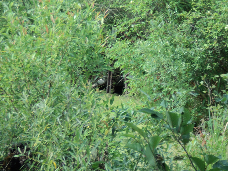
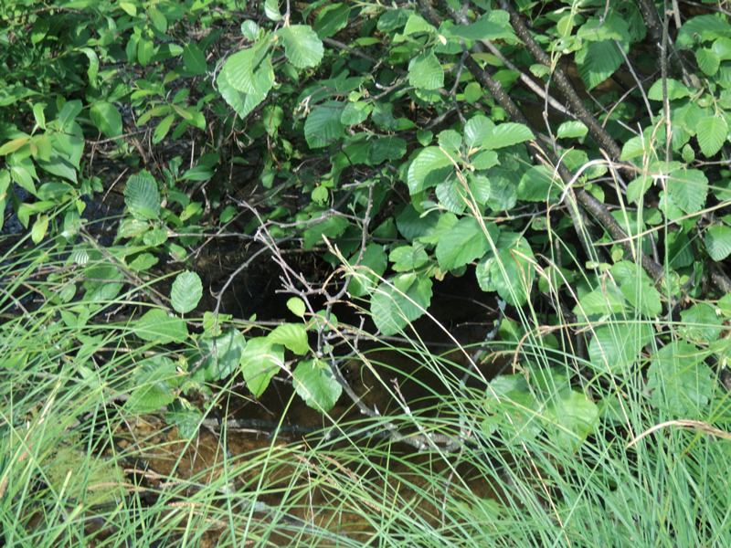
Inlet
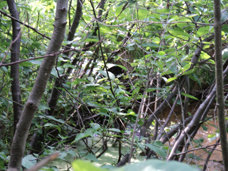
Outlet
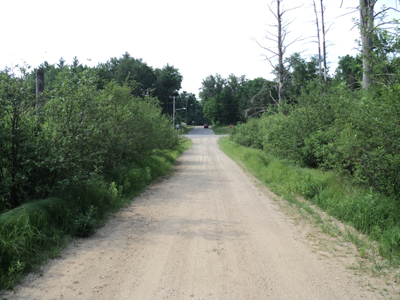
Upstream Conditions
Downstream Conditions
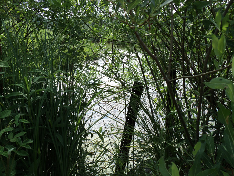
Road Approach - Left
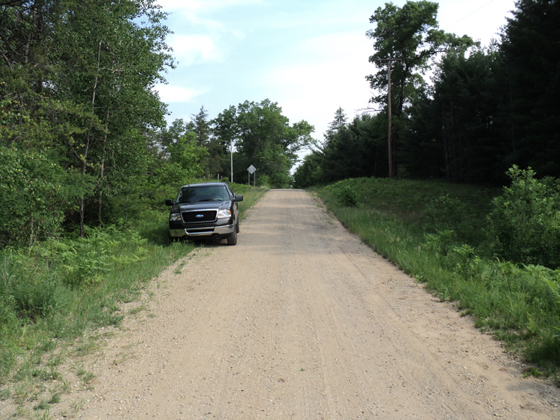
Road Approach - Right
Crossing Information
Type of Crossing: culvert(s)
Number of Structures: 1
Structure Shape: Round
Inlet Type: Projecting
Outlet Type: At Stream Grade
Structure Material: Metal
Structure Substrate: Mixture
General Conditions: Good
Structure Interior: corrugated
Dimensions of Structure: Length 30 ft.
, Width 2 ft.
, Height 2 ft.
Percentage Plugged:
Inlet: 1% to 25%
Outlet: 0%
In Pipe: 0%
Structure Inlet
Water Depth: 1.1 ft.
Embedded Depth of Structure: 0.4 ft.
Water Velocity*: 2.1 ft./sec.
Structure Outlet
Water Depth: 0.8 ft.
Embedded Depth of Structure: 0.2 ft.
Water Velocity*: 2.5 ft./sec.
*Water Velocities were measured 0.5 ft. below Surface
(with Meter)
Additional Comments
Water is stagnant upstream and downstream.
Stream Information
Stream Flow: Less than 1/2 Bankfull
Upstream Pond: Length 20 ft.
, Width 48 ft.
, Depth 1.5 ft.
Dominant Substrate: Organics
Road Information
Gravel
County Road
Road Condition: Fair
Road Width at Culvert: 19 ft.
Location of Low Point: At Stream
Runoff Path: Roadway
Embankments
Upstream
Fill Depth: 1.5 ft.
Slope: 1:2
Downstream
Fill Depth: 2 ft.
Slope: 1:2
Approaches
Left Approach
Length: 245 ft.
Slope: 1% to 5%
Vegetation: Heavy
LS Factor: 0.439
Erosion: 0.563 tons/year
Right Approach
Length: 210 ft.
Slope: 6% to 10%
Vegetation: Heavy
LS Factor: 1.248
Erosion: 1.3718 tons/year
Erosion Information
Total Erosion at Crossing: 1.9788 tons/year
Extent of Erosion: Minor
Location of Erosion | Erosion Dimensions | Eroded Material | Material Eroded | Total Erosion | ||
facing downstream | Length | Width | Depth | Reaching Stream? | (tons/year) | |
Right Approach |
210 ft. |
1 ft. |
0.1 ft. |
yes |
Sand |
0.0231 |
Right Approach |
210 ft. |
1 ft. |
0.1 ft. |
yes |
Gravel |
0.021 |
Summary Information
Erosion is an area of concern for this site.
A future visit to this site is recommended.
Inlet is blocked with muck and woody debris and road flooded during rain.
�