Road Stream Crossing Site PM_L062
Pere Marquette River Watershed, Sanborn Creek tributary
US-10
Cherry Valley Twp,
Lake County
Information collected by:
Site Location
GPS Coordinates: 43.90114
, -85.78484
T18N
R12W
Sec 31
Owned by Private
State
State
Total Erosion: 0.1898 tons/year
Severity: Minor
Year Inventoried: 2014
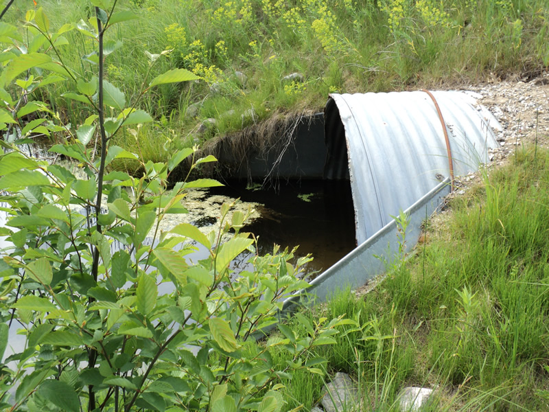
Inlet
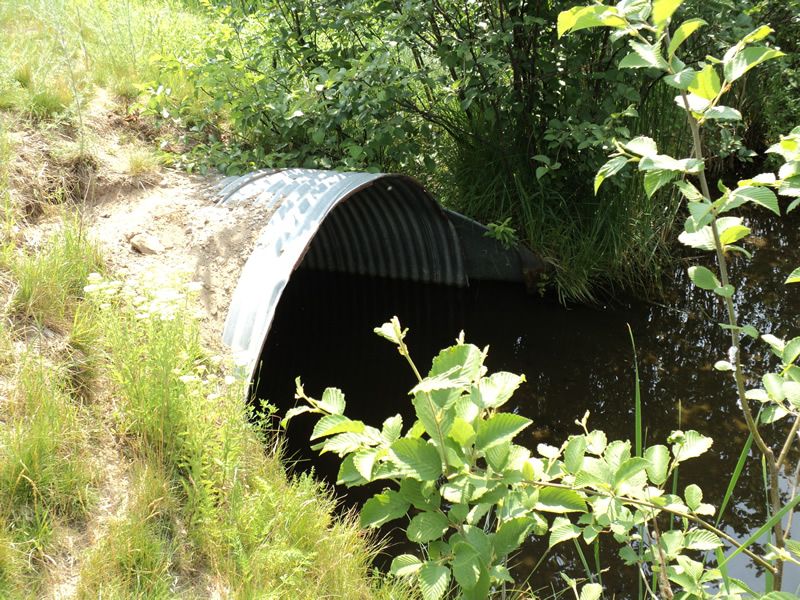
Outlet
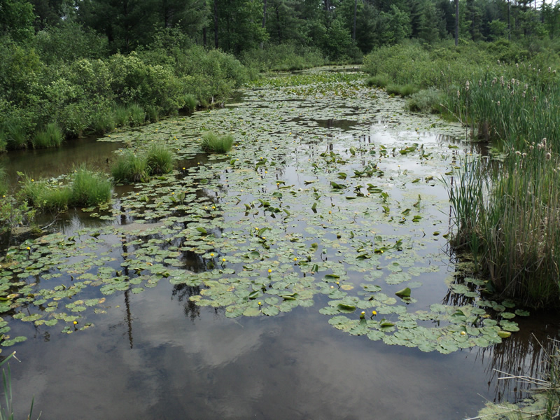
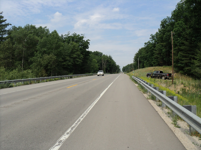
Upstream Conditions
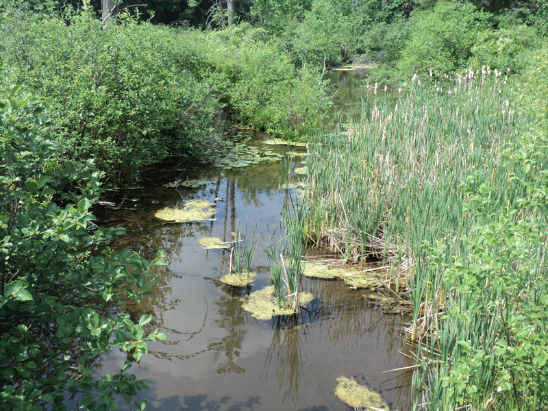
Downstream Conditions
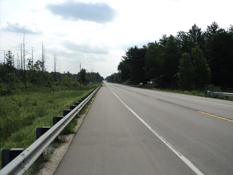
Road Approach - Left
Road Approach - Right
Crossing Information
Type of Crossing: culvert(s)
Number of Structures: 1
Structure Shape: Round
Inlet Type: Apron
Outlet Type: At Stream Grade
Structure Material: Metal
Structure Substrate: Sand
General Conditions: Good
Structure Interior: corrugated
Dimensions of Structure: Length 94 ft.
, Width 6 ft.
, Height 6 ft.
Percentage Plugged:
Inlet: 1% to 25%
Structure Inlet
Water Depth: 2.1 ft.
Embedded Depth of Structure: 1.5 ft.
Water Velocity*: 0.1 ft./sec.
Structure Outlet
Water Depth: 2.2 ft.
Embedded Depth of Structure: 1.5 ft.
Water Velocity*: 0.1 ft./sec.
*Water Velocities were measured 0.2 ft. below Surface
(with Meter)
Additional Comments
no riffle found, all stagnant up and down stream
Stream Information
Stream Flow: Less than 1/2 Bankfull
Road Information
Paved
Federal Road
Road Condition: Good
Road Width at Culvert: 45 ft.
Location of Low Point: Other
Runoff Path: Ditch
Embankments
Upstream
Fill Depth: 2 ft.
Slope: 1:2
Downstream
Fill Depth: 2 ft.
Slope: 1:2
Approaches
Left Approach
Length: 450 ft.
Slope: Less Than 1%
Vegetation: Heavy
LS Factor: 0.05
Erosion: 0.0335 tons/year
Right Approach
Length: 240 ft.
Slope: 1% to 5%
Vegetation: Heavy
LS Factor: 0.438
Erosion: 0.1564 tons/year
Erosion Information
Total Erosion at Crossing: 0.1898 tons/year
Extent of Erosion: Minor
Summary Information
�