Road Stream Crossing Site PM_L064
Pere Marquette River Watershed, Baldwin River
Kings Highway
Newkirk Twp,
Lake County
Information collected by:
Site Location
GPS Coordinates: 44.0286643435881
, -85.7222950458527
T19N
R12W
Sec 22
Owned by Private
Total Erosion: 0.0139 tons/year
Severity: Minor
Year Inventoried: 2014
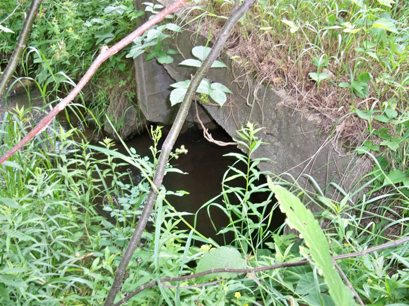
Inlet
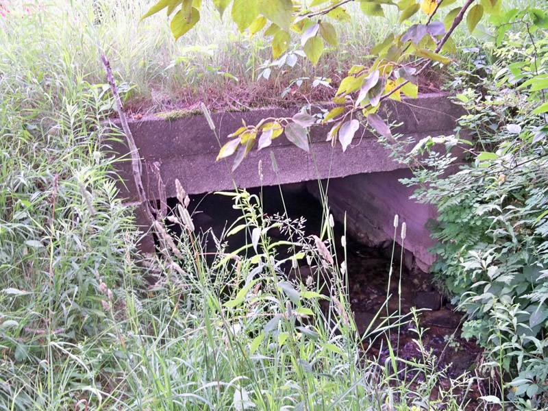
Outlet
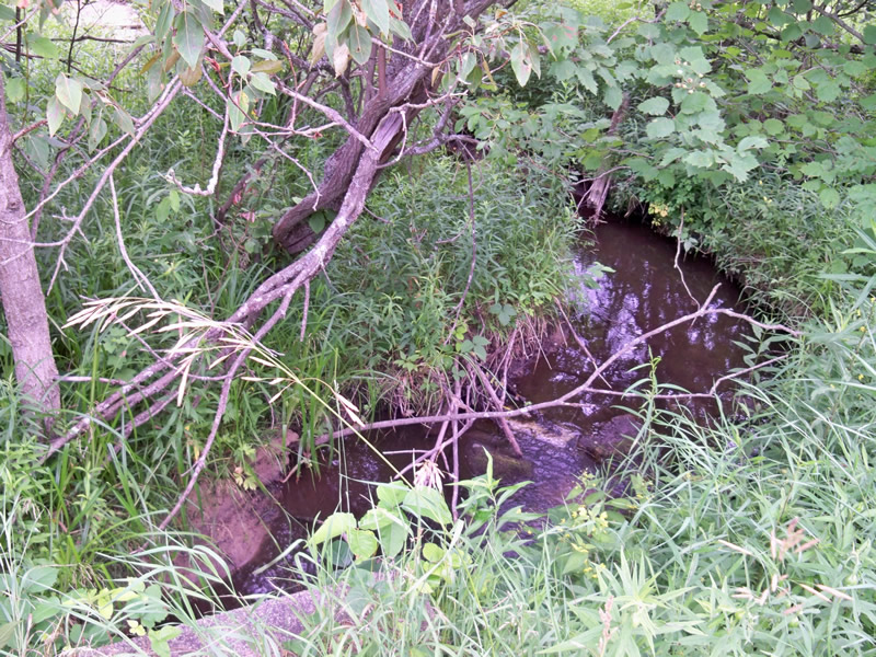
Upstream Conditions
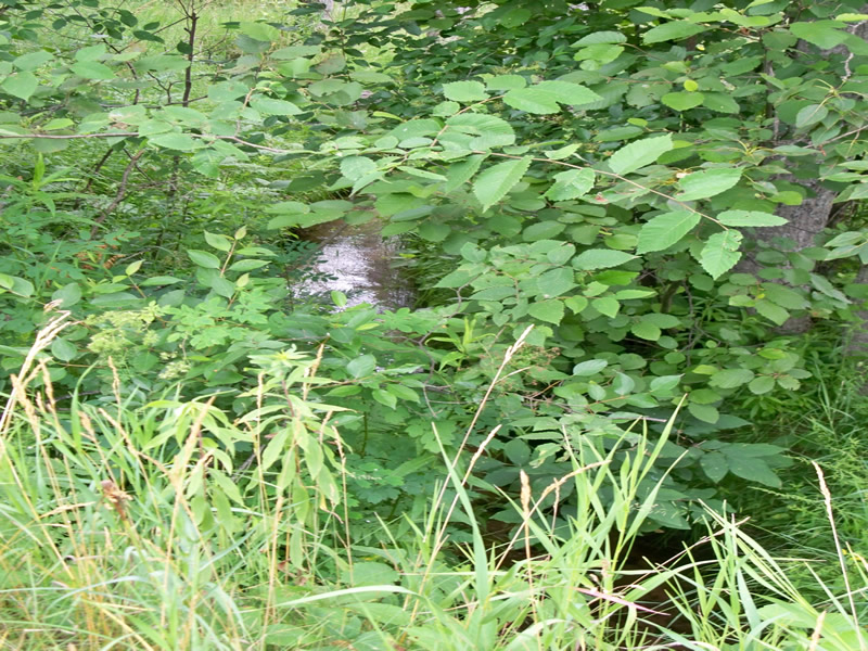
Downstream Conditions
Road Approach - Left
Road Approach - Right
Crossing Information
Type of Crossing: culvert(s)
Number of Structures: 1
Structure Shape: Open Bottom Square/Rectangle
Inlet Type: Projecting
Outlet Type: At Stream Grade
Structure Material: Concrete
Structure Substrate: Mixture
General Conditions: Fair
Structure Interior: smooth
Dimensions of Structure: Length 35 ft.
, Width 5 ft.
, Height 3.2 ft.
Structure Inlet
Water Depth: 1 ft.
Embedded Depth of Structure: 0 ft.
Water Velocity*: 0.4 ft./sec.
Structure Outlet
Water Depth: 0.3 ft.
Embedded Depth of Structure: 0 ft.
Water Velocity*: 0.6 ft./sec.
*Water Velocities were measured 0.4 ft. below Surface
(with Meter)
Stream Information
Stream Flow: Less than Bankfull
Riffle Information
Water Depth: 0.5 ft.
Bankfull Width: 5 ft.
Wetted Width: 3 ft.
Water Velocity: 0.5 ft./sec.
(Measured with Meter)
Dominant Substrate: Sand
Road Information
Paved
County Road
Road Condition: Good
Road Width at Culvert: 21 ft.
Location of Low Point: Other
Runoff Path: Roadway
Embankments
Upstream
Fill Depth: 2 ft.
Slope: 1:2
Downstream
Fill Depth: 2 ft.
Slope: 1:2
Approaches
Left Approach
Length: 250 ft.
Slope: Less Than 1%
Vegetation: Heavy
LS Factor: 0.05
Erosion: 0.0087 tons/year
Right Approach
Length: 150 ft.
Slope: Less Than 1%
Vegetation: Heavy
LS Factor: 0.05
Erosion: 0.0052 tons/year
Erosion Information
Total Erosion at Crossing: 0.0139 tons/year
Extent of Erosion: Stabilized
Summary Information
Erosion is an area of concern for this site.
A future visit to this site is recommended.
Monitor concrete culvert, showing some crumbling.
�