Road Stream Crossing Site PM_L066
Pere Marquette River Watershed, Sanborn Creek
Queens Hwy
Cherry Valley Twp,
Lake County
Information collected by:
Site Location
GPS Coordinates: 43.913383
, -85.702071
T18N
R12W
Sec 36
Owned by Private
Total Erosion: 1.4601 tons/year
Severity: Restored
Year Inventoried: 2023
Inlet
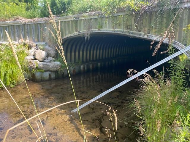
Outlet
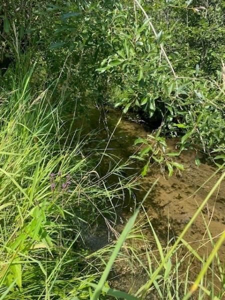
Upstream Conditions
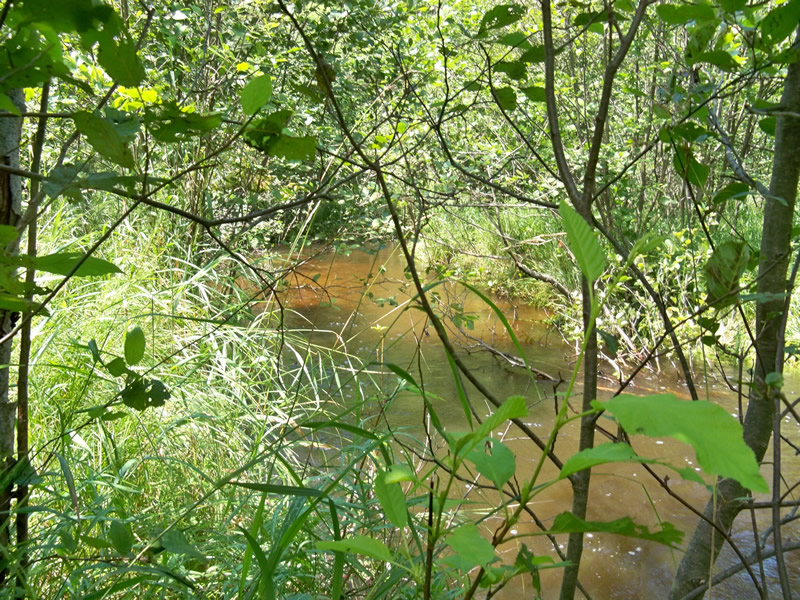
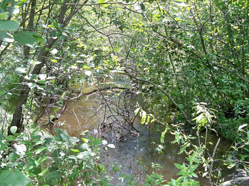
Downstream Conditions
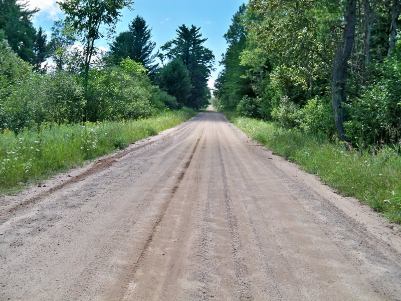
Road Approach - Left
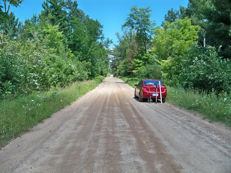
Road Approach - Right
Crossing Information
Type of Crossing: culvert(s)
Number of Structures: 1
Structure Shape: Open Bottom Square/Rectangle
Inlet Type: Projecting
Outlet Type: At Stream Grade
Structure Material: Metal
Structure Substrate: None
General Conditions: Good
Multiple Culverts/Spans | ||||
Culvert/Span | Width | Length | Height | Material |
1 |
3 ft. |
45 ft. |
3 ft. |
Metal |
2 |
2 ft. |
45 ft. |
2 ft. |
Metal |
Structure Interior: corrugated
Dimensions of Structure: Length 48 ft.
, Width 16 ft.
, Height 7 ft.
Structure Inlet
Water Depth: 3 ft.
Embedded Depth of Structure: 0 ft.
Water Velocity*: 0.4 ft./sec.
Structure Outlet
Water Depth: 1.1 ft.
Embedded Depth of Structure: 0 ft.
Water Velocity*: 1.1 ft./sec.
*Water Velocities were measured 1 ft. below Surface
(with Meter)
Stream Information
Stream Flow: Less than 1/2 Bankfull
Riffle Information
Water Depth: 1 ft.
Bankfull Width: 12 ft.
Wetted Width: 10 ft.
Water Velocity: 0.8 ft./sec.
(Measured with Meter)
Dominant Substrate: Sand
Road Information
Gravel
County Road
Road Condition: Fair
Road Width at Culvert: 22 ft.
Location of Low Point: Other
Runoff Path: Roadway
Embankments
Upstream
Fill Depth: 3 ft.
Slope: 1:1.5
Downstream
Fill Depth: 3 ft.
Slope: 1:1.5
Approaches
Left Approach
Length: 230 ft.
Slope: 1% to 5%
Vegetation: Heavy
LS Factor: 0.436
Erosion: 0.6078 tons/year
Right Approach
Length: 200 ft.
Slope: 1% to 5%
Vegetation: Heavy
LS Factor: 0.43
Erosion: 0.5212 tons/year
Erosion Information
Total Erosion at Crossing: 1.4601 tons/year
Extent of Erosion: Minor
Location of Erosion | Erosion Dimensions | Eroded Material | Material Eroded | Total Erosion | ||
facing downstream | Length | Width | Depth | Reaching Stream? | (tons/year) | |
Right Approach |
200 ft. |
4 ft. |
0.1 ft. |
yes |
Sand |
0.154 |
Summary Information
Fish Passage is an area of concern for this site.
�