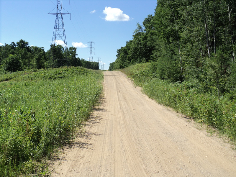
Road Stream Crossing Site PM_L068
Pere Marquette River Watershed, Sanborn Creek tributary
State Rd
Cherry Valley Twp,
Lake County
Information collected by:
Site Location
GPS Coordinates: 43.92761
, -85.68201
T18N
R12W
Sec 25
Owned by Private
State
State
Total Erosion: 0.4657 tons/year
Severity: Minor
Year Inventoried: 2014
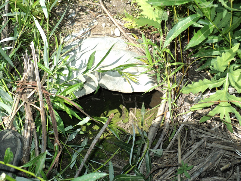
Inlet
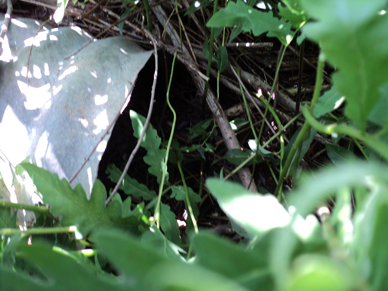
Outlet
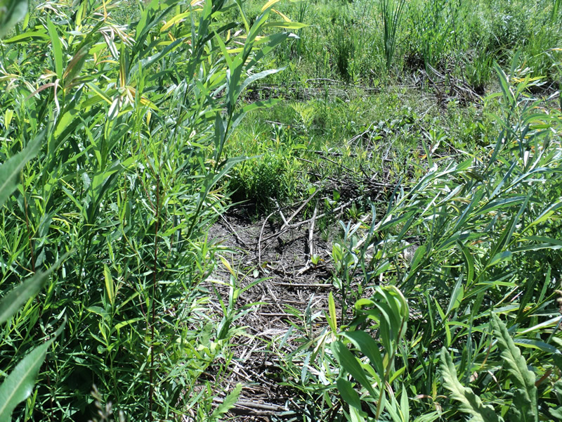
Upstream Conditions
Downstream Conditions
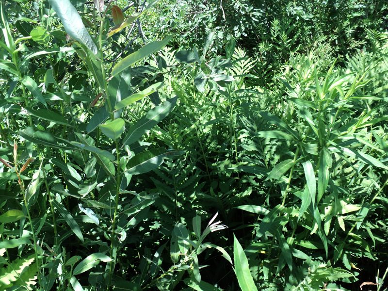
Road Approach - Left
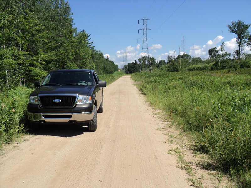
Road Approach - Right
Crossing Information
Type of Crossing: culvert(s)
Number of Structures: 1
Structure Shape: Round
Inlet Type: Projecting
Outlet Type: At Stream Grade
Structure Material: Metal
Structure Substrate: Sand
General Conditions: Poor
Structure Interior: corrugated
Dimensions of Structure: Length 32 ft.
, Width 1 ft.
, Height 1 ft.
Percentage Plugged:
In Pipe: 51% to 75%
Percentage Crushed:
Inlet: 1% to 25%
Water Depth: 0 ft.
Embedded Depth of Structure: 0.4 ft.
Water Velocity*: 0 ft./sec.
Water Depth: 0 ft.
Embedded Depth of Structure: 0.4 ft.
Water Velocity*: 0 ft./sec.
Additional Comments
Very dry
Stream Information
Stream Flow: None
Road Information
Sand
County Road
Road Condition: Poor
Road Width at Culvert: 13 ft.
Location of Low Point: Other
Runoff Path: Roadway
Embankments
Upstream
Fill Depth: 0.5 ft.
Slope: More than 1:2
Downstream
Fill Depth: 0.5 ft.
Slope: More than 1:2
Approaches
Left Approach
Length: 120 ft.
Slope: 6% to 10%
Vegetation: Heavy
LS Factor: 1.042
Erosion: 0.4478 tons/year
Right Approach
Length: 100 ft.
Slope: Less Than 1%
Vegetation: Heavy
LS Factor: 0.05
Erosion: 0.0179 tons/year
Erosion Information
Total Erosion at Crossing: 0.4657 tons/year
Summary Information
A future visit to this site is recommended. Culvert partially filled
�