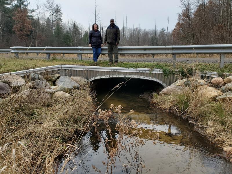
Road Stream Crossing Site PM_L069
Pere Marquette River Watershed, Sanborn Creek
State Rd
Cherry Valley Twp,
Lake County
Information collected by:
Site Location
GPS Coordinates: 43.9308446496308
, -85.6829899549484
T18N
R12W
Sec 24
Owned by Private
State
State
Total Erosion: 3.2879 tons/year
Severity: Restored
Year Inventoried: 2014
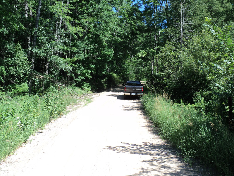
Inlet
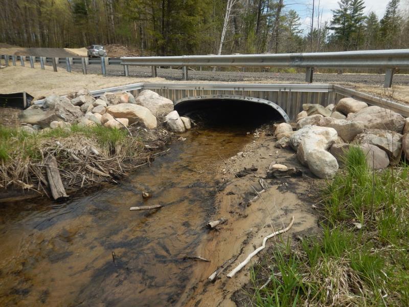
Outlet
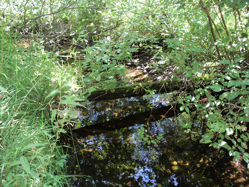
Upstream Conditions
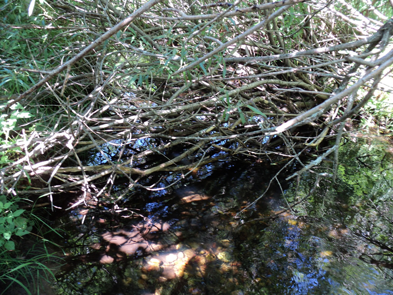
Downstream Conditions
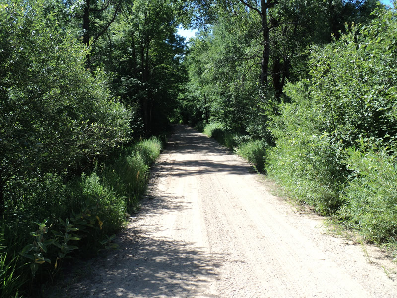
Road Approach - Left
Road Approach - Right
Crossing Information
Type of Crossing: culvert(s)
Number of Structures: 1
Structure Shape: Open Bottom Square/Rectangle
Inlet Type: Wingwall 10-30 Degree
Outlet Type: At Stream Grade
Structure Material: Metal
Structure Substrate: None
General Conditions: New
Structure Interior: corrugated
Dimensions of Structure: Length 36 ft.
, Width 10 ft.
, Height 4.8 ft.
Structure Inlet
Water Depth: 0.7 ft.
Water Velocity*: 0.9 ft./sec.
Structure Outlet
Water Depth: 0.7 ft.
Water Velocity*: 0.7 ft./sec.
*Water Velocities were measured 0.5 ft. below Surface
(with Meter)
Stream Information
Stream Flow: Less than 1/2 Bankfull
Riffle Information
Water Depth: 0.3 ft.
Bankfull Width: 7.5 ft.
Wetted Width: 6 ft.
Water Velocity: 0.6 ft./sec.
(Measured with Meter)
Dominant Substrate: Sand
Road Information
Gravel
County Road
Road Condition: Poor
Road Width at Culvert: 15 ft.
Location of Low Point: At Stream
Runoff Path: Roadway
Embankments
Upstream
Fill Depth: 2 ft.
Slope: 1:2
Downstream
Fill Depth: 2 ft.
Slope: 1:2
Approaches
Left Approach
Length: 220 ft.
Slope: 6% to 10%
Vegetation: Heavy
LS Factor: 1.266
Erosion: 1.1509 tons/year
Right Approach
Length: 180 ft.
Slope: More Than 10%
Vegetation: Heavy
LS Factor: 2.873
Erosion: 2.1369 tons/year
Erosion Information
Total Erosion at Crossing: 3.2879 tons/year
Extent of Erosion: Moderate
Summary Information
Erosion is an area of concern for this site.
�