Road Stream Crossing Site PM_L070
Pere Marquette River Watershed, Carr Creek tributary
64th St
Lake Twp,
Lake County
Information collected by:
Site Location
GPS Coordinates: 43.87335
, -86.03457
T17N
R14W
Sec 7
Owned by Private
Fish Passability 0.9
Total Erosion: 0.1344 tons/year
Severity: Moderate
Year Inventoried: 2014
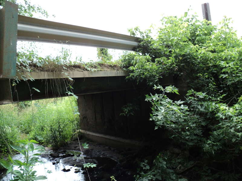
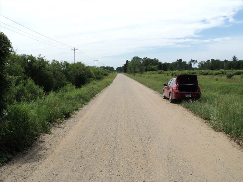
Inlet
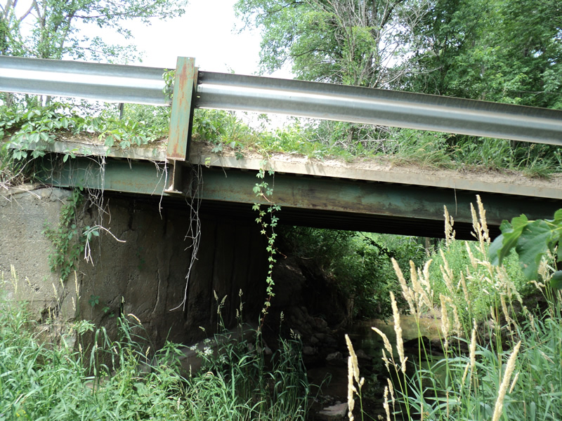
Outlet
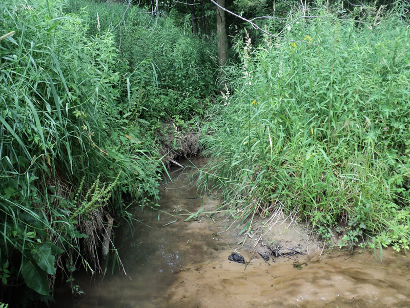
Upstream Conditions
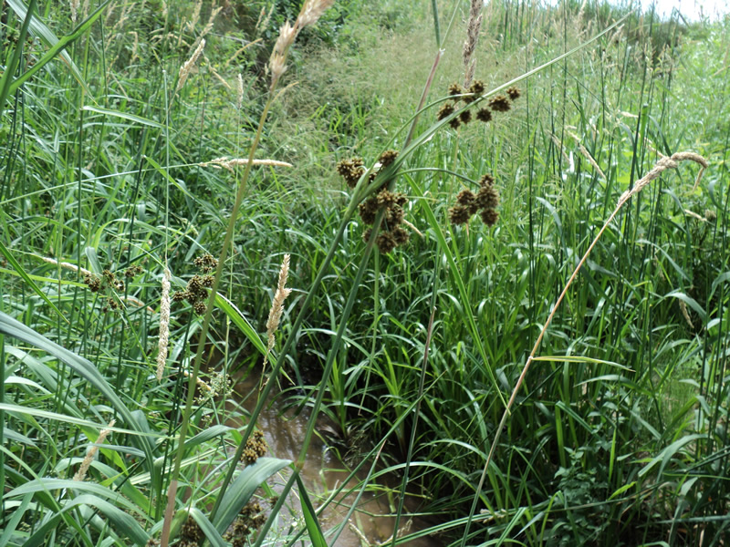
Downstream Conditions
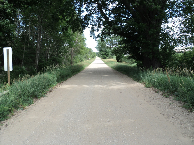
Road Approach - Left
Road Approach - Right
Crossing Information
Type of Crossing: Bridge
Structure Shape: Open Bottom Square/Rectangle
Inlet Type: Wingwall 30-70 Degree
Outlet Type: At Stream Grade
Structure Material: Concrete
Structure Substrate: Mixture
General Conditions: Poor
Dimensions of Structure: Length 19 ft.
, Width 19 ft.
, Height 8 ft.
Structure Inlet
Water Depth: 0.2 ft.
Water Velocity*: 0.4 ft./sec.
Structure Outlet
Water Depth: 0.2 ft.
Water Velocity*: 1 ft./sec.
*Water Velocities were measured at the Surface
(with Meter)
Stream Information
Stream Flow: Less than 1/2 Bankfull
Riffle Information
Water Depth: 0.4 ft.
Bankfull Width: 5 ft.
Wetted Width: 2.5 ft.
Water Velocity: 0.5 ft./sec.
(Measured with Meter)
Dominant Substrate: Sand
Road Information
Gravel
County Road
Road Condition: Fair
Road Width at Culvert: 18 ft.
Location of Low Point: Other
Runoff Path: Ditch
Approaches
Left Approach
Length: 150 ft.
Slope: Less Than 1%
Vegetation: Heavy
LS Factor: 0.05
Erosion: 0.0372 tons/year
Right Approach
Length: 150 ft.
Slope: Less Than 1%
Vegetation: Heavy
LS Factor: 0.05
Erosion: 0.0372 tons/year
Erosion Information
Total Erosion at Crossing: 0.1344 tons/year
Extent of Erosion: Minor
Location of Erosion | Erosion Dimensions | Eroded Material | Material Eroded | Total Erosion | ||
facing downstream | Length | Width | Depth | Reaching Stream? | (tons/year) | |
Right Approach |
150 ft. |
1 ft. |
0.1 ft. |
yes |
Gravel |
0.015 |
Left Approach |
150 ft. |
1 ft. |
0.1 ft. |
yes |
Gravel |
0.015 |
Left Approach |
150 ft. |
1 ft. |
0.1 ft. |
yes |
Gravel |
0.015 |
Right Approach |
150 ft. |
1 ft. |
0.1 ft. |
yes |
Gravel |
0.015 |
Summary Information
Fish Passability 0.9
A future visit to this site is recommended. bridge condition
�