Road Stream Crossing Site PM_L072
Pere Marquette River Watershed, Carr Creek tributary
S Woodstock Rd
Lake Twp,
Lake County
Information collected by:
Site Location
GPS Coordinates: 43.86457
, -86.02871
T17N
R14W
Sec 18
Owned by Private
Total Erosion: 1.7585 tons/year
Severity: Severe
Year Inventoried: 2014
Inlet
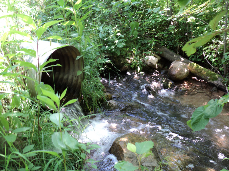
Outlet
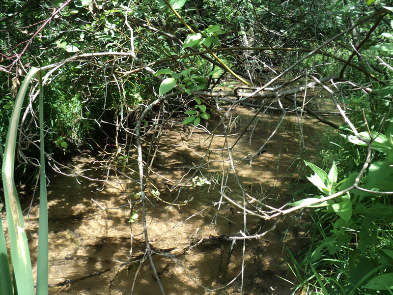
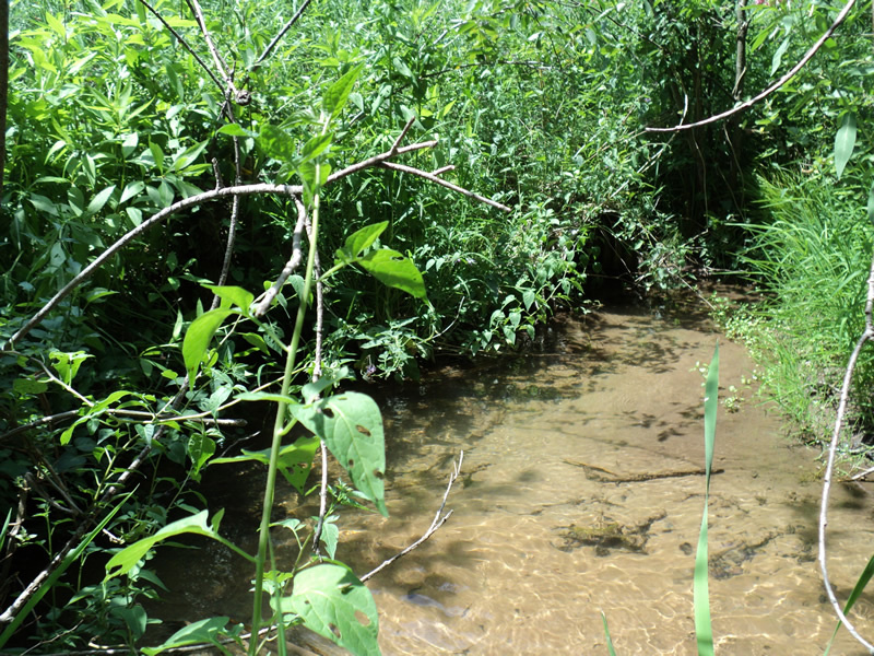
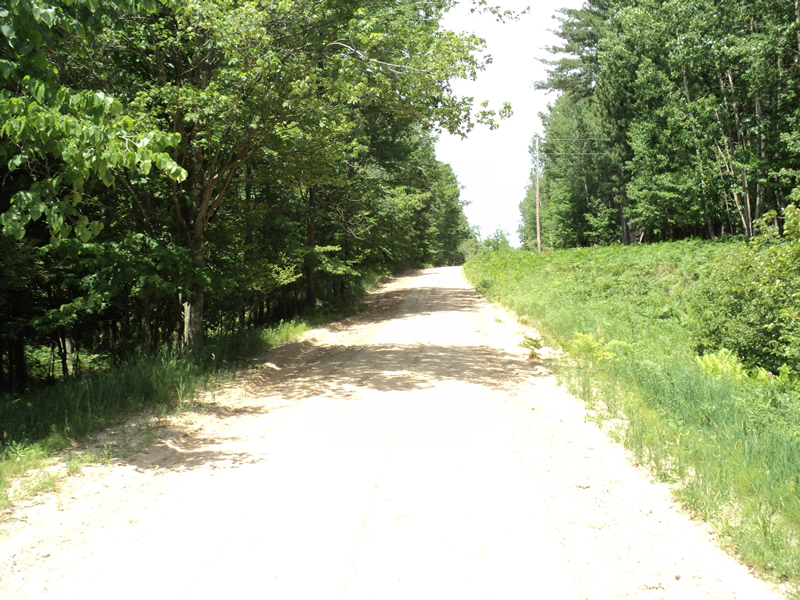
Upstream Conditions
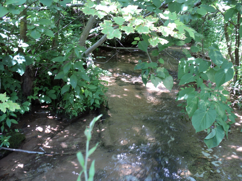
Downstream Conditions
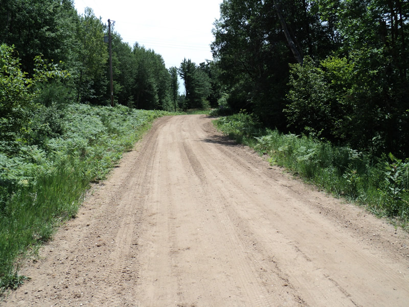
Road Approach - Left
Road Approach - Right
Crossing Information
Type of Crossing: culvert(s)
Number of Structures: 2
Structure Shape: Round
Inlet Type: Projecting
Outlet Type: At Stream Grade
Structure Material: Metal
Structure Substrate: Sand
General Conditions: Fair
Multiple Culverts/Spans | ||||
Culvert/Span | Width | Length | Height | Material |
1 |
2 ft. |
40 ft. |
2 ft. |
Metal |
2 |
2 ft. |
40 ft. |
2 ft. |
Metal |
Structure Interior: corrugated
Dimensions of Structure: Length 40 ft.
, Width 2 ft.
, Height 2 ft.
Percentage Plugged:
Inlet: 1% to 25%
Outlet: 0%
In Pipe: 0%
Structure Inlet
Water Depth: 0.5 ft.
Embedded Depth of Structure: 0.5 ft.
Water Velocity*: 1.1 ft./sec.
Structure Outlet
Water Depth: 0.6 ft.
Water Velocity*: 3.2 ft./sec.
*Water Velocities were measured at the Surface
(with Meter)
Stream Information
Stream Flow: Less than 1/2 Bankfull
Riffle Information
Water Depth: 0.3 ft.
Bankfull Width: 10 ft.
Wetted Width: 9 ft.
Water Velocity: 0.8 ft./sec.
(Measured with Meter)
Dominant Substrate: Sand
Road Information
Gravel
County Road
Road Condition: Fair
Road Width at Culvert: 18 ft.
Location of Low Point: At Stream
Runoff Path: Roadway
Embankments
Upstream
Fill Depth: 3 ft.
Slope: 1:2
Downstream
Fill Depth: 3 ft.
Slope: 1:2
Approaches
Left Approach
Length: 115 ft.
Slope: 6% to 10%
Vegetation: Heavy
LS Factor: 1.029
Erosion: 0.5868 tons/year
Right Approach
Length: 190 ft.
Slope: 6% to 10%
Vegetation: Heavy
LS Factor: 1.208
Erosion: 1.1381 tons/year
Erosion Information
Total Erosion at Crossing: 1.7585 tons/year
Extent of Erosion: Minor
Location of Erosion | Erosion Dimensions | Eroded Material | Material Eroded | Total Erosion | ||
facing downstream | Length | Width | Depth | Reaching Stream? | (tons/year) | |
Right Approach |
190 ft. |
1 ft. |
0.1 ft. |
yes |
Sand |
0.0209 |
Left Approach |
115 ft. |
1 ft. |
0.1 ft. |
yes |
Sand |
0.0127 |
Summary Information
Erosion is an area of concern for this site.
A future visit to this site is recommended.
Erosion, embedded sand and perched outlet.
�