Road Stream Crossing Site PM_L073
Pere Marquette River Watershed, Carr Creek
South Branch Rd
Lake Twp,
Lake County
Information collected by:
Site Location
GPS Coordinates: 43.86443
, -86.01907
T17N
R14W
Sec 18
Owned by Private
Fish Passability 0
Perch Height: 1 ft.
Total Erosion: 2.0442 tons/year
Severity: Severe
Year Inventoried: 2014
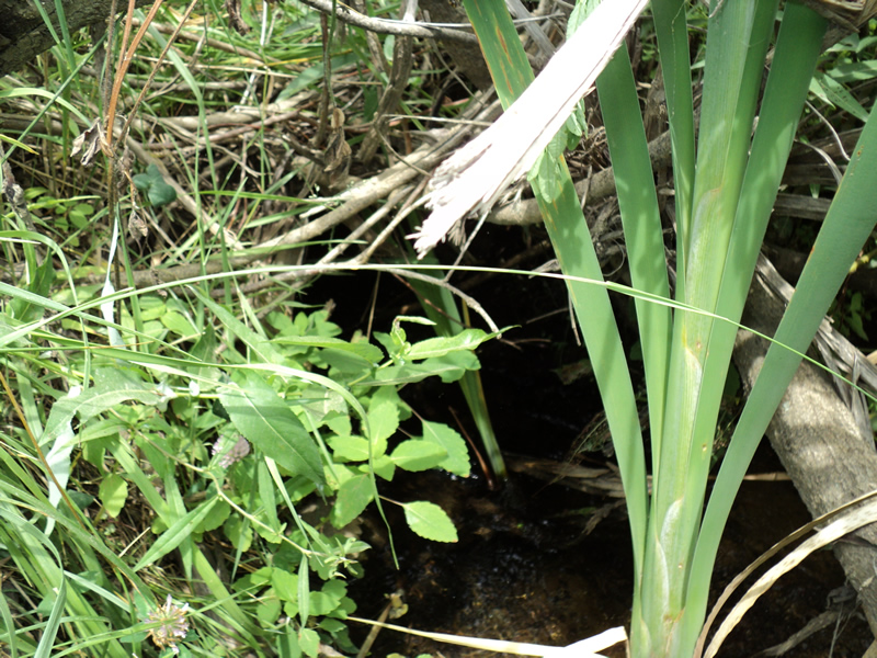
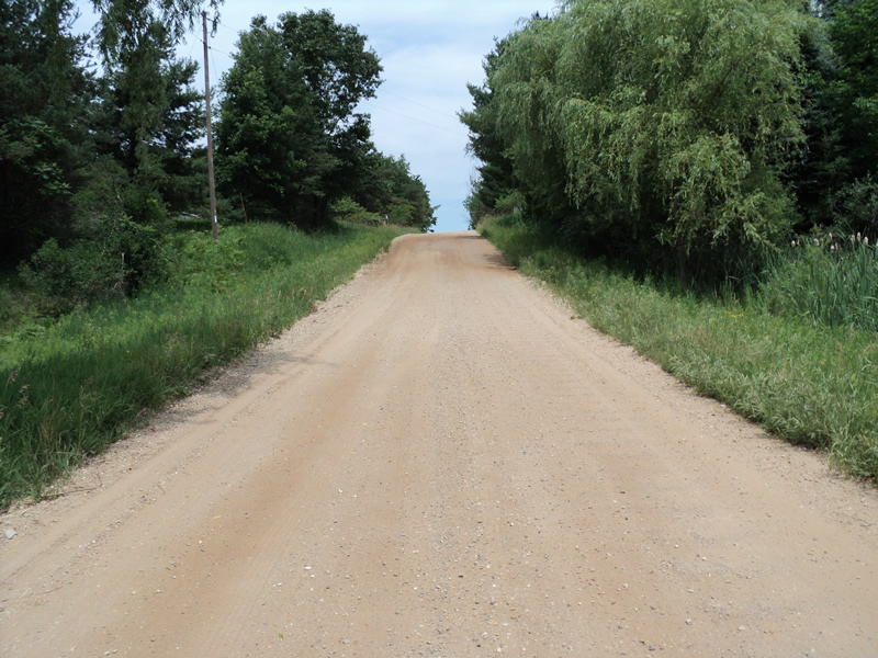
Inlet
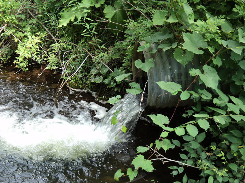
Outlet
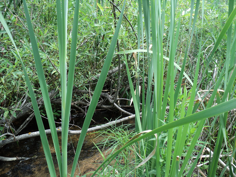
Upstream Conditions
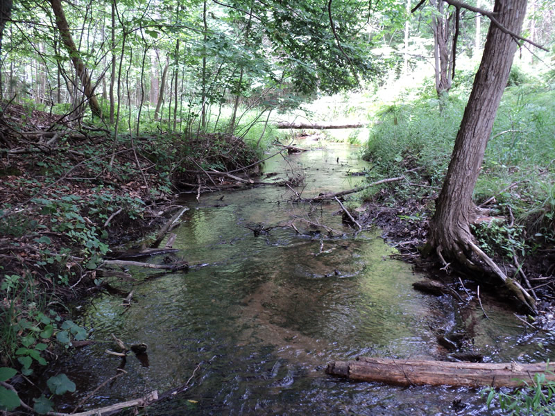
Downstream Conditions
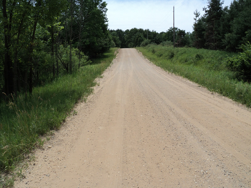
Road Approach - Left
Road Approach - Right
Crossing Information
Type of Crossing: culvert(s)
Number of Structures: 1
Structure Shape: Round
Inlet Type: Projecting
Outlet Type: Freefall into Pool
Structure Material: Metal
Structure Substrate: Sand
General Conditions: Fair
Structure Interior: corrugated
Dimensions of Structure: Length 50 ft.
, Width 2 ft.
, Height 2 ft.
Perch Height: 1 ft.
Structure Inlet
Water Depth: 0.4 ft.
Water Velocity*: 2.8 ft./sec.
Structure Outlet
Water Depth: 2 ft.
Water Velocity*: 2.9 ft./sec.
*Water Velocities were measured at the Surface
(with Meter)
Stream Information
Stream Flow: Less than 1/2 Bankfull
Scour Pool: Length 20 ft.
, Width 20 ft.
, Depth 4 ft.
Riffle Information
Water Depth: 0.2 ft.
Bankfull Width: 10 ft.
Wetted Width: 7 ft.
Water Velocity: 1.2 ft./sec.
(Measured with Meter)
Dominant Substrate: Gravel
Road Information
Gravel
County Road
Road Condition: Fair
Road Width at Culvert: 18 ft.
Location of Low Point: At Stream
Runoff Path: Ditch
Embankments
Upstream
Fill Depth: 4 ft.
Slope: 1:2
Downstream
Fill Depth: 5 ft.
Slope: 1:2
Approaches
Left Approach
Length: 190 ft.
Slope: 6% to 10%
Vegetation: Heavy
LS Factor: 1.208
Erosion: 1.1381 tons/year
Right Approach
Length: 160 ft.
Slope: 6% to 10%
Vegetation: Heavy
LS Factor: 1.142
Erosion: 0.906 tons/year
Erosion Information
Total Erosion at Crossing: 2.0442 tons/year
Summary Information
Fish Passability 0
A future visit to this site is recommended. perched outlet
�