Road Stream Crossing Site PM_L075
Pere Marquette River Watershed, Pere Marquette tributary
Cannon private Rd
Sweetwater Twp,
Lake County
Information collected by:
Site Location
GPS Coordinates: 43.90125
, -85.96863
T18N
R14W
Sec 34
Owned by Private
Fish Passability 0.5
Total Erosion: 0.8047 tons/year
Severity: Moderate
Year Inventoried: 2014
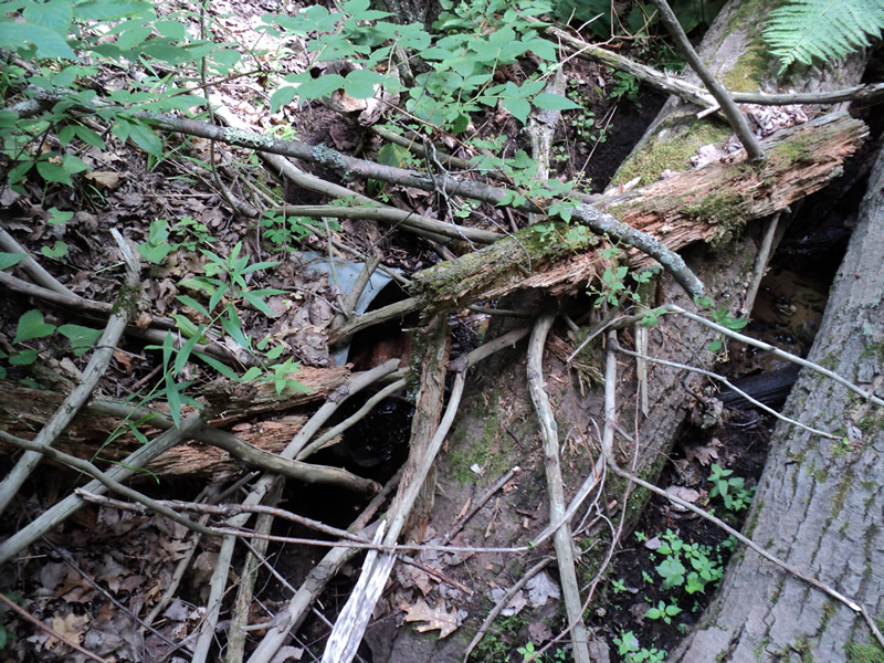
Inlet
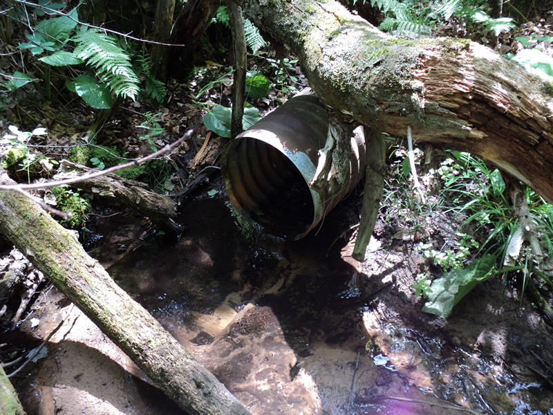
Outlet
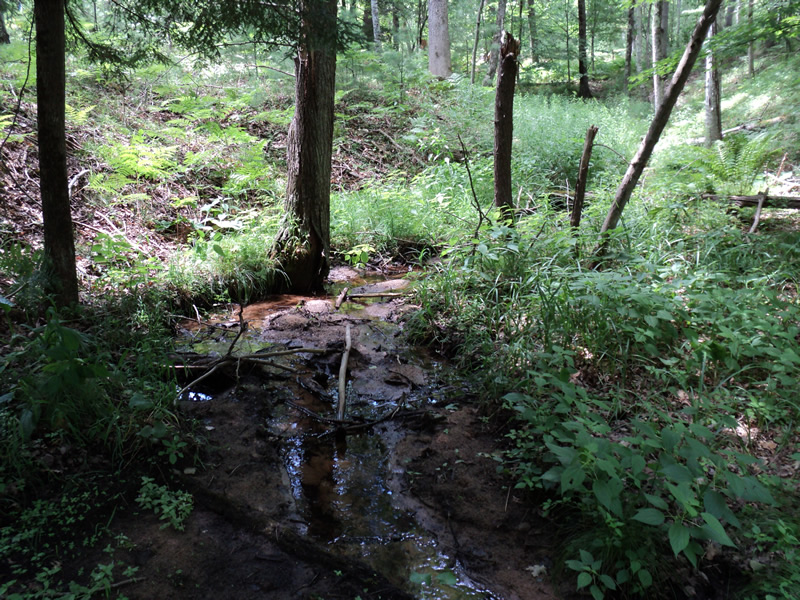
Upstream Conditions
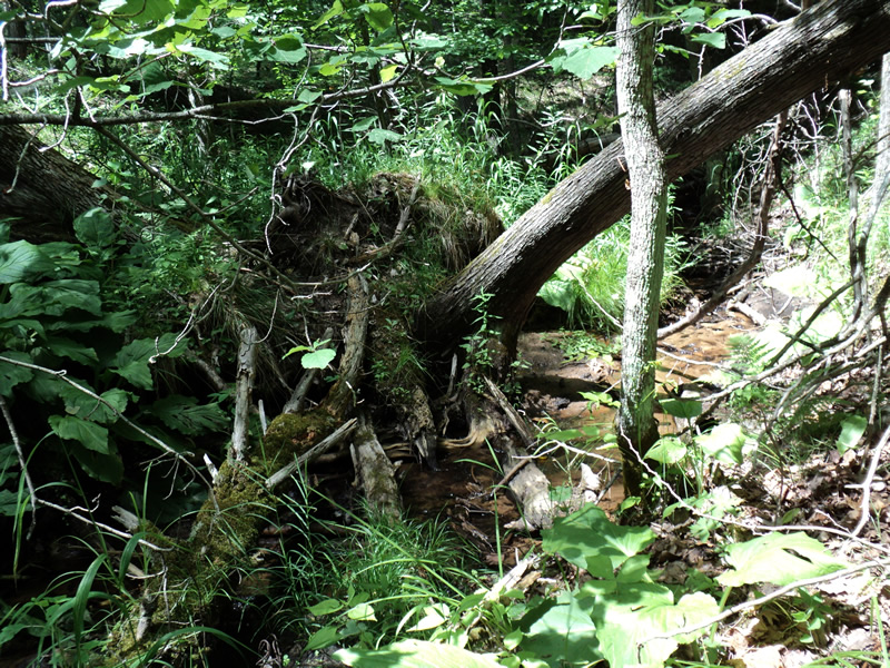
Downstream Conditions
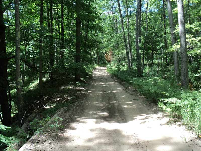
Road Approach - Left
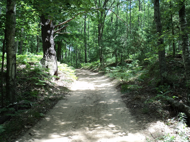
Road Approach - Right
Crossing Information
Type of Crossing: culvert(s)
Number of Structures: 1
Structure Shape: Round
Inlet Type: Projecting
Outlet Type: Freefall into Pool
Structure Material: Metal
Structure Substrate: None
General Conditions: Fair
Structure Interior: corrugated
Dimensions of Structure: Length 35 ft.
, Width 1.5 ft.
, Height 1.5 ft.
Structure Inlet
Water Depth: 0.1 ft.
Water Velocity*: 0.1 ft./sec.
Structure Outlet
Water Depth: 0.1 ft.
Water Velocity*: 0.1 ft./sec.
*Water Velocities were measured at the Surface
(with Meter)
Additional Comments
logs across inlet
Stream Information
Stream Flow: Less than 1/2 Bankfull
Riffle Information
Water Depth: 0.2 ft.
Bankfull Width: 4 ft.
Wetted Width: 2 ft.
Water Velocity: 0.1 ft./sec.
(Measured with Meter)
Dominant Substrate: Sand
Road Information
Sand
Private Road
Road Condition: Fair
Road Width at Culvert: 10 ft.
Location of Low Point: Other
Runoff Path: Roadway
Embankments
Upstream
Fill Depth: 8 ft.
Slope: 1:1.5
Downstream
Fill Depth: 8 ft.
Slope: 1:1.5
Approaches
Left Approach
Length: 160 ft.
Slope: 6% to 10%
Vegetation: Heavy
LS Factor: 1.142
Erosion: 0.5034 tons/year
Right Approach
Length: 100 ft.
Slope: 6% to 10%
Vegetation: Heavy
LS Factor: 0.99
Erosion: 0.2727 tons/year
Erosion Information
Total Erosion at Crossing: 0.8047 tons/year
Extent of Erosion: Minor
Notes: logs supporting road embankment
Location of Erosion | Erosion Dimensions | Eroded Material | Material Eroded | Total Erosion | ||
facing downstream | Length | Width | Depth | Reaching Stream? | (tons/year) | |
Right Approach |
160 ft. |
10 ft. |
0.1 ft. |
yes |
Sand |
0.0176 |
Left Approach |
100 ft. |
10 ft. |
0.1 ft. |
no |
Sand |
0.011 |
Summary Information
Fish Passability 0.5
A future visit to this site is recommended. remove logs at inlet, possible water under culvert at inlet
�