Road Stream Crossing Site PM_L076
Pere Marquette River Watershed, Pere Marquette tributary
40th St
Sweetwater Twp,
Lake County
Information collected by:
Site Location
GPS Coordinates: 43.916752
, -86.008699
T18N
R14W
Sec 29
Owned by Private
Federal
Federal
Fish Passability 0.5
Total Erosion: 0.0721 tons/year
Severity: Moderate
Year Inventoried: 2014
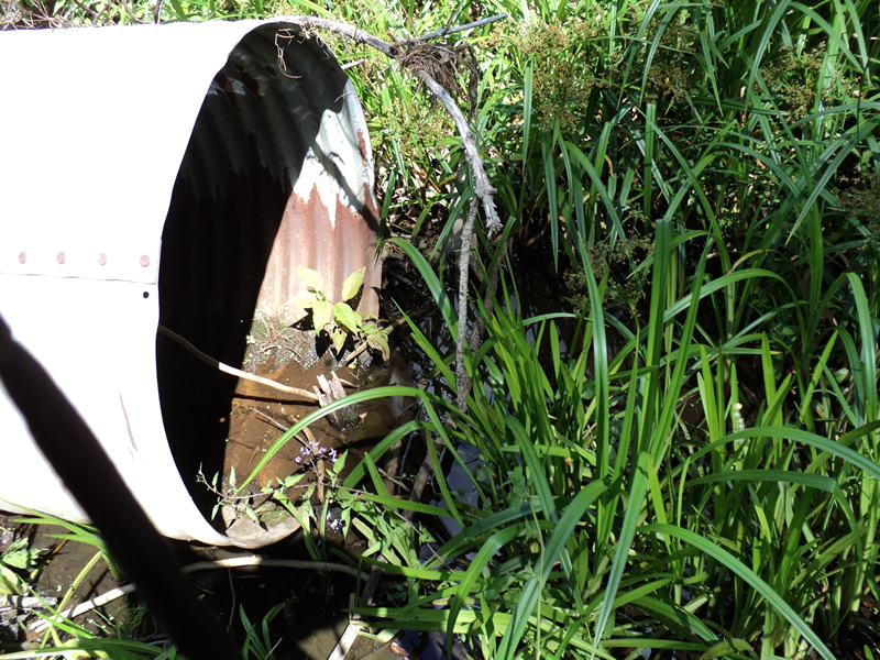
Inlet
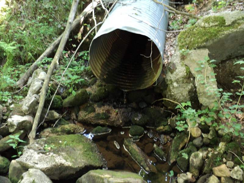
Outlet
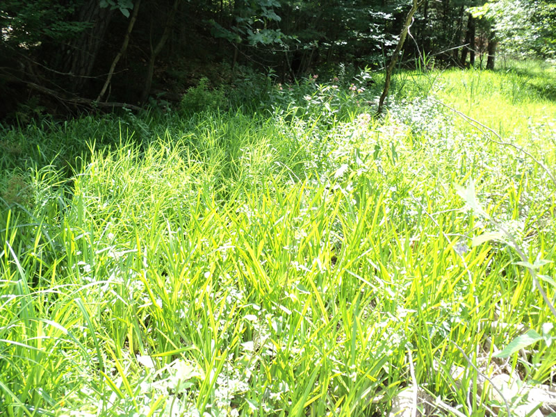
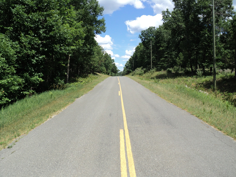
Upstream Conditions
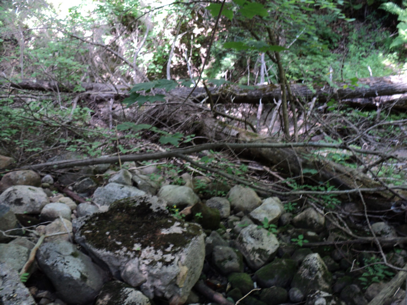
Downstream Conditions
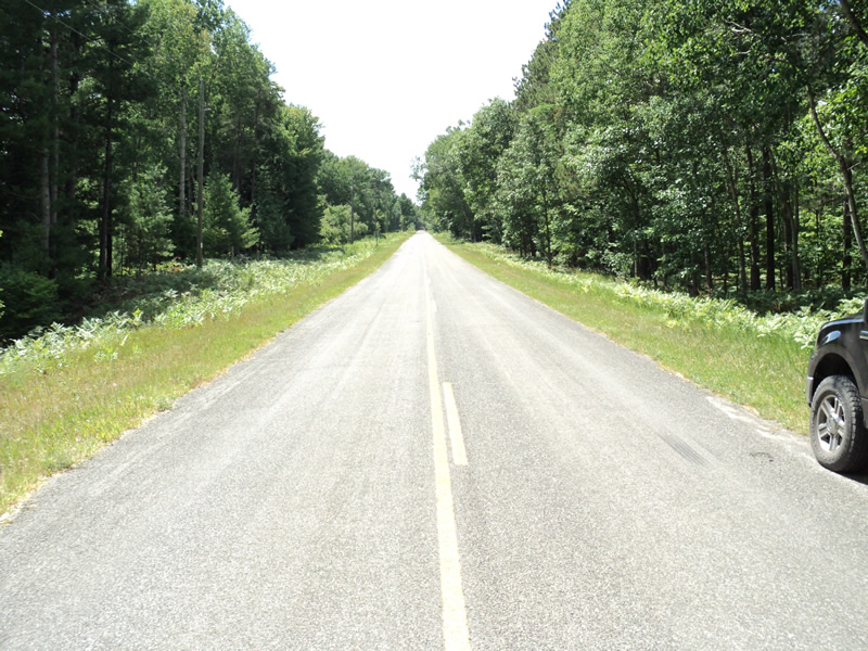
Road Approach - Left
Road Approach - Right
Crossing Information
Type of Crossing: culvert(s)
Number of Structures: 1
Structure Shape: Round
Inlet Type: Projecting
Outlet Type: Freefall onto Riprap
Structure Material: Metal
Structure Substrate: None
General Conditions: Good
Structure Interior: corrugated
Dimensions of Structure: Length 60 ft.
, Width 3 ft.
, Height 3 ft.
Structure Inlet
Water Depth: 0.1 ft.
Water Velocity*: 0.1 ft./sec.
Structure Outlet
Water Depth: 0.1 ft.
Water Velocity*: 0.1 ft./sec.
*Water Velocities were measured 0.1 ft. below Surface
(with Meter)
Additional Comments
wetland upstream clay seeps next to culvert at outlet
Stream Information
Stream Flow: Less than 1/2 Bankfull
Riffle Information
Water Depth: 0.3 ft.
Bankfull Width: 12 ft.
Wetted Width: 6 ft.
Water Velocity: 0.1 ft./sec.
(Measured with Meter)
Dominant Substrate: Gravel
Road Information
Paved
County Road
Road Condition: Good
Road Width at Culvert: 21 ft.
Location of Low Point: Other
Runoff Path: Roadway
Embankments
Upstream
Fill Depth: 15 ft.
Slope: 1:1.5
Downstream
Fill Depth: 15 ft.
Slope: Vertical
Approaches
Left Approach
Length: 120 ft.
Slope: Less Than 1%
Vegetation: Heavy
LS Factor: 0.05
Erosion: 0.0042 tons/year
Right Approach
Length: 225 ft.
Slope: 1% to 5%
Vegetation: Heavy
LS Factor: 0.435
Erosion: 0.0679 tons/year
Erosion Information
Total Erosion at Crossing: 0.0721 tons/year
Extent of Erosion: Stabilized
Notes: some clay bank erosion downstream from ?
Summary Information
Fish Passability 0.5
�