Road Stream Crossing Site PM_L077
Pere Marquette River Watershed, Carr Creek
W 96th St
Lake Twp,
Lake County
Information collected by:
Site Location
GPS Coordinates: 43.81544
, -86.01015
T17N
R14W
Sec 32
Owned by Federal
Total Erosion: 0.6542 tons/year
Severity: Moderate
Year Inventoried: 2014
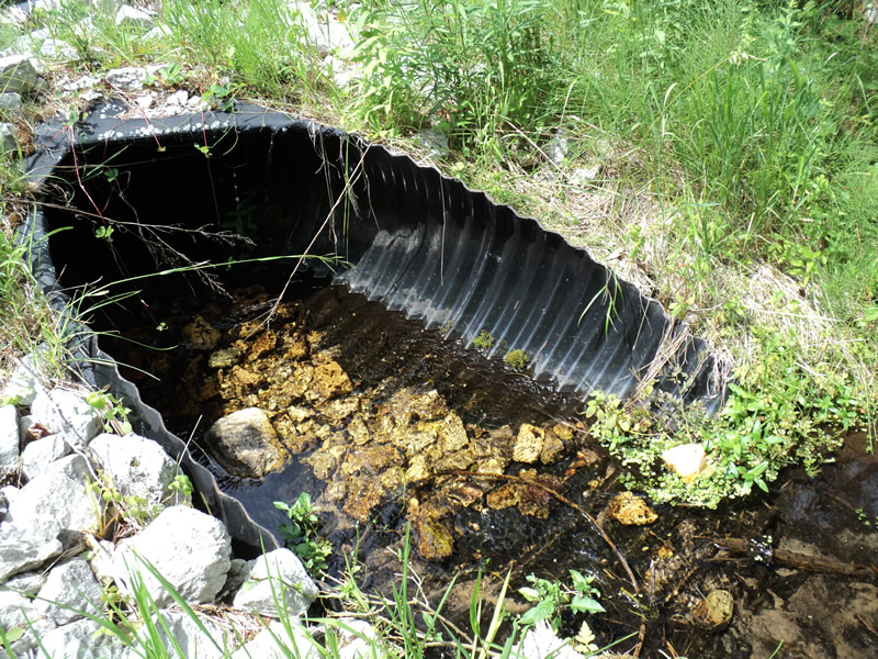
Inlet
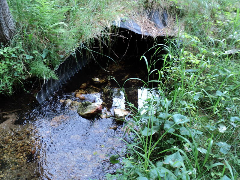
Outlet
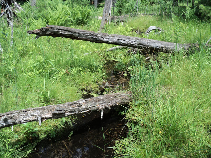
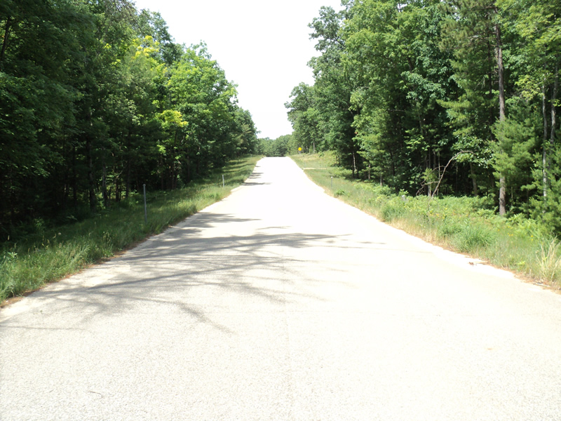
Upstream Conditions
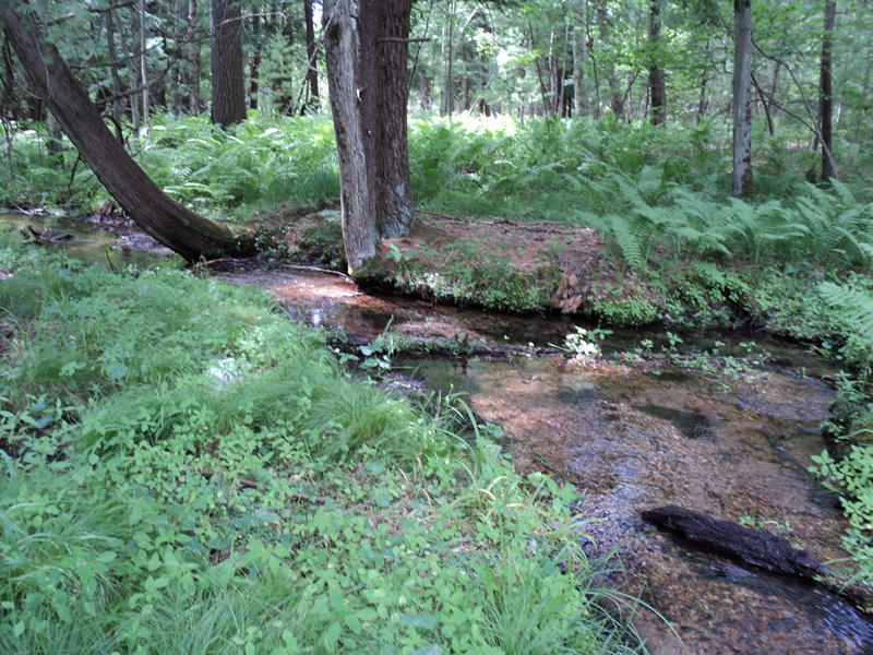
Downstream Conditions
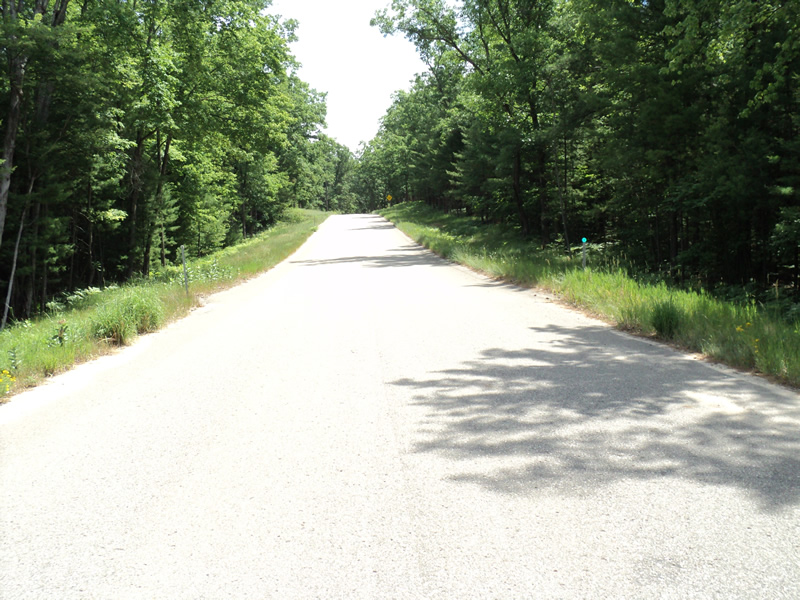
Road Approach - Left
Road Approach - Right
Crossing Information
Type of Crossing: culvert(s)
Number of Structures: 1
Structure Shape: Pipe Arch
Inlet Type: Mitered
Outlet Type: At Stream Grade
Structure Material: Plastic
Structure Substrate: Mixture
General Conditions: New
Structure Interior: corrugated
Dimensions of Structure: Length 90 ft.
, Width 3 ft.
, Height 2.2 ft.
Structure Inlet
Water Depth: 0.3 ft.
Water Velocity*: 0.6 ft./sec.
Structure Outlet
Water Depth: 0.4 ft.
Water Velocity*: 0.4 ft./sec.
*Water Velocities were measured at the Surface
(with Meter)
Stream Information
Stream Flow: Less than 1/2 Bankfull
Riffle Information
Water Depth: 0.2 ft.
Bankfull Width: 12 ft.
Wetted Width: 5 ft.
Water Velocity: 0.6 ft./sec.
(Measured with Meter)
Dominant Substrate: Gravel
Road Information
Paved
County Road
Road Condition: Good
Road Width at Culvert: 27 ft.
Location of Low Point: At Stream
Runoff Path: Roadway
Embankments
Upstream
Fill Depth: 6.5 ft.
Slope: More than 1:2
Downstream
Fill Depth: 6 ft.
Slope: More than 1:2
Approaches
Left Approach
Length: 270 ft.
Slope: 1% to 5%
Vegetation: Heavy
LS Factor: 0.448
Erosion: 0.108 tons/year
Right Approach
Length: 400 ft.
Slope: 6% to 10%
Vegetation: Heavy
LS Factor: 1.53
Erosion: 0.5462 tons/year
Erosion Information
Total Erosion at Crossing: 0.6542 tons/year
Extent of Erosion: Minor
Summary Information
Erosion is an area of concern for this site.
�