Road Stream Crossing Site PM_L078
Pere Marquette River Watershed, Danaher Creek
76th St
Pleasant Plains Twp,
Lake County
Information collected by:
Site Location
GPS Coordinates: 43.8502458696217
, -85.8849965035915
T17N
R13W
Sec 20
Owned by Private
Total Erosion: 0.3043 tons/year
Severity: Severe
Year Inventoried: 2014
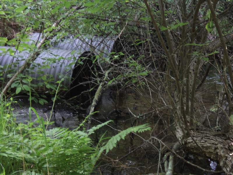
Inlet
Outlet
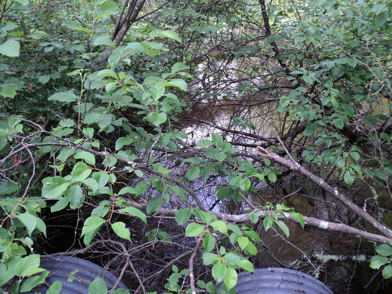
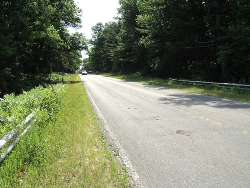
Upstream Conditions
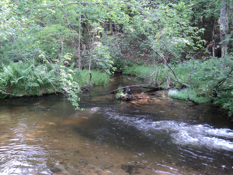
Downstream Conditions
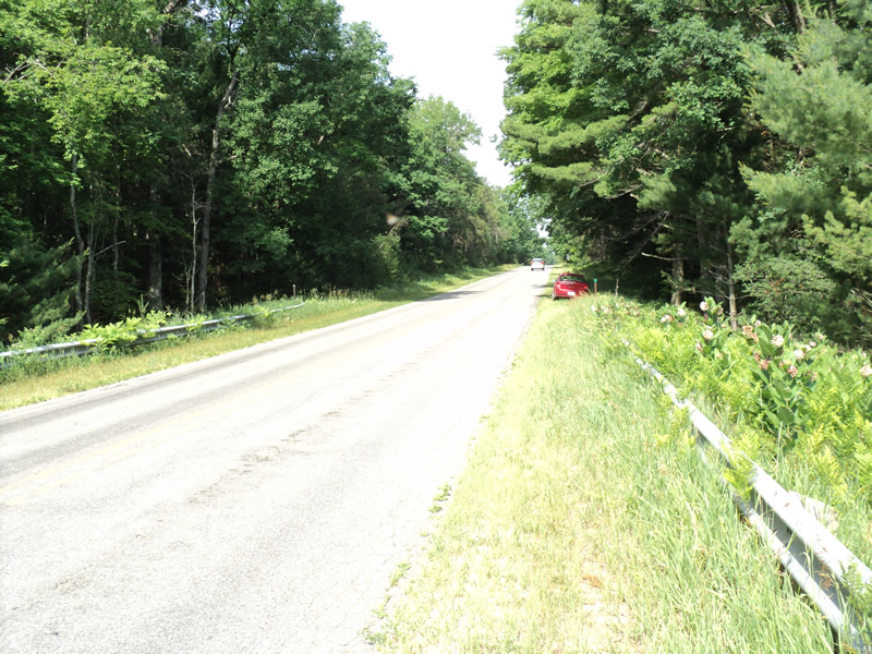
Road Approach - Left
Road Approach - Right
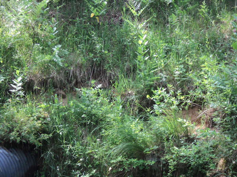
Erosion
Crossing Information
Type of Crossing: culvert(s)
Number of Structures: 2
Structure Shape: Round
Inlet Type: Projecting
Outlet Type: Freefall into Pool
Structure Material: Metal
Structure Substrate: Sand
General Conditions: Good
Multiple Culverts/Spans | ||||
Culvert/Span | Width | Length | Height | Material |
1 |
3 ft. |
75 ft. |
3 ft. |
|
2 |
3 ft. |
75 ft. |
3 ft. |
|
Structure Interior: corrugated
Dimensions of Structure: Length 75 ft.
, Width 3 ft.
, Height 3 ft.
Percentage Plugged:
Inlet: 1% to 25%
Outlet: 0%
In Pipe: 0%
Structure Inlet
Water Depth: 1.9 ft.
Water Velocity*: 2.1 ft./sec.
Structure Outlet
Water Depth: 2.5 ft.
Water Velocity*: 6.5 ft./sec.
*Water Velocities were measured 0.5 ft. below Surface
(with Meter)
Stream Information
Stream Flow: Less than Bankfull
Scour Pool: Length 30 ft.
, Width 30 ft.
, Depth 4 ft.
Riffle Information
Water Depth: 0.4 ft.
Bankfull Width: 14 ft.
Wetted Width: 10 ft.
Water Velocity: 0.9 ft./sec.
(Measured with Meter)
Dominant Substrate: Sand
Road Information
Paved
County Road
Road Condition: Fair
Road Width at Culvert: 25 ft.
Location of Low Point: At Stream
Runoff Path: Ditch
Embankments
Upstream
Fill Depth: 15 ft.
Slope: 1:1.5
Downstream
Fill Depth: 15 ft.
Slope: 1:1
Approaches
Left Approach
Length: 360 ft.
Slope: 1% to 5%
Vegetation: Heavy
LS Factor: 0.472
Erosion: 0.1404 tons/year
Right Approach
Length: 240 ft.
Slope: 1% to 5%
Vegetation: Heavy
LS Factor: 0.438
Erosion: 0.0869 tons/year
Erosion Information
Total Erosion at Crossing: 0.3043 tons/year
Extent of Erosion: Moderate
Location of Erosion | Erosion Dimensions | Eroded Material | Material Eroded | Total Erosion | ||
facing downstream | Length | Width | Depth | Reaching Stream? | (tons/year) | |
Left Downstream Embankment |
10 ft. |
2 ft. |
1 ft. |
yes |
Sand |
0.077 |
Summary Information
Erosion is an area of concern for this site.
�