Road Stream Crossing Site PM_L079
Pere Marquette River Watershed, Jenks Creek
76th St
Pleasant Plains Twp,
Lake County
Information collected by:
Site Location
GPS Coordinates: 43.8503832035567
, -85.8977457135916
T17N
R13W
Sec 20
Owned by Private
Total Erosion: 0.1966 tons/year
Severity: Minor
Year Inventoried: 2014
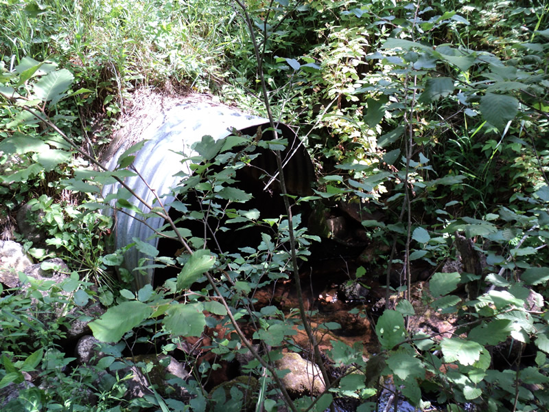
Inlet
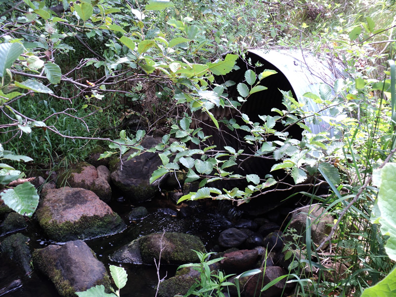
Outlet
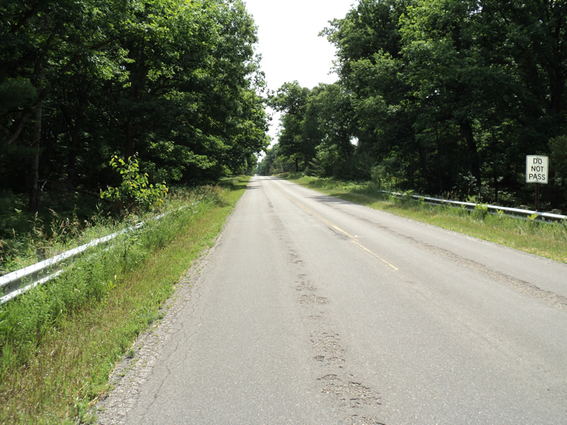
Upstream Conditions
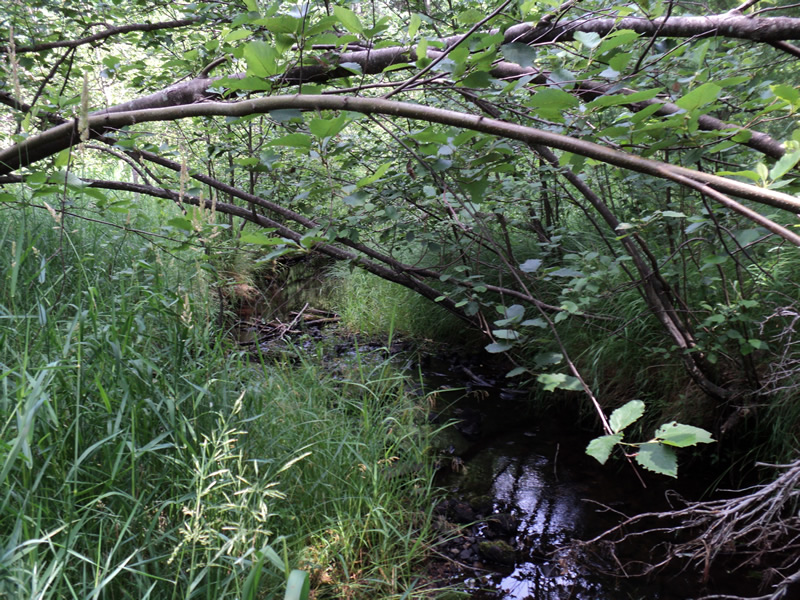
Downstream Conditions
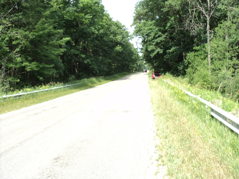
Road Approach - Left
Road Approach - Right
Crossing Information
Type of Crossing: culvert(s)
Number of Structures: 1
Structure Shape: Round
Inlet Type: Projecting
Outlet Type: Freefall onto Riprap
Structure Material: Metal
Structure Substrate: Sand
General Conditions: Good
Structure Interior: corrugated
Dimensions of Structure: Length 75 ft.
, Width 4 ft.
, Height 4 ft.
Structure Inlet
Water Depth: 0.4 ft.
Water Velocity*: 0.2 ft./sec.
Structure Outlet
Water Depth: 0.5 ft.
Water Velocity*: 0.7 ft./sec.
*Water Velocities were measured at the Surface
(with Meter)
Stream Information
Stream Flow: Less than 1/2 Bankfull
Scour Pool: Length 15 ft.
, Width 8 ft.
, Depth 0.8 ft.
Riffle Information
Water Depth: 0.2 ft.
Bankfull Width: 6 ft.
Wetted Width: 4 ft.
Water Velocity: 0.6 ft./sec.
(Measured with Meter)
Dominant Substrate: Gravel
Road Information
Paved
County Road
Road Condition: Fair
Road Width at Culvert: 26 ft.
Location of Low Point: At Stream
Runoff Path: Ditch
Embankments
Upstream
Fill Depth: 12 ft.
Slope: 1:1.5
Downstream
Fill Depth: 12 ft.
Slope: 1:1.5
Approaches
Left Approach
Length: 210 ft.
Slope: 1% to 5%
Vegetation: Heavy
LS Factor: 0.432
Erosion: 0.078 tons/year
Right Approach
Length: 300 ft.
Slope: 1% to 5%
Vegetation: Heavy
LS Factor: 0.46
Erosion: 0.1186 tons/year
Erosion Information
Total Erosion at Crossing: 0.1966 tons/year
Extent of Erosion: Moderate
Summary Information
Erosion is an area of concern for this site.
�