Road Stream Crossing Site PM_L080
Pere Marquette River Watershed, Jenks Creek
Jenks Rd
Pleasant Plains Twp,
Lake County
Information collected by:
Site Location
GPS Coordinates: 43.84421
, -85.89887
T17N
R13W
Sec 20
Owned by Federal
Total Erosion: 0.4823 tons/year
Severity: Moderate
Year Inventoried: 2014
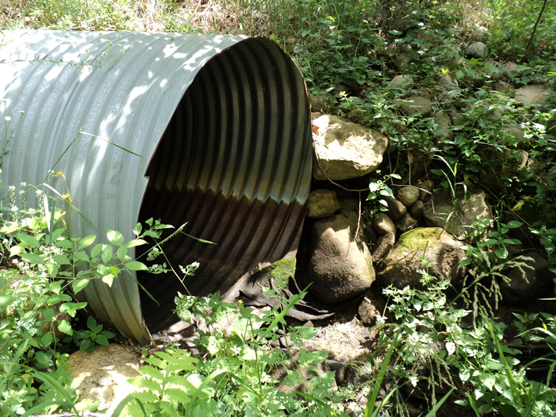
Inlet
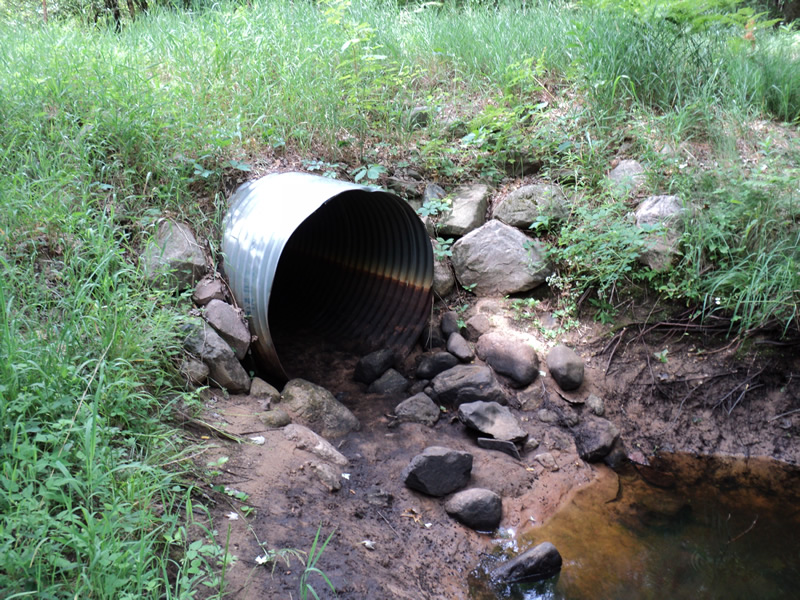
Outlet
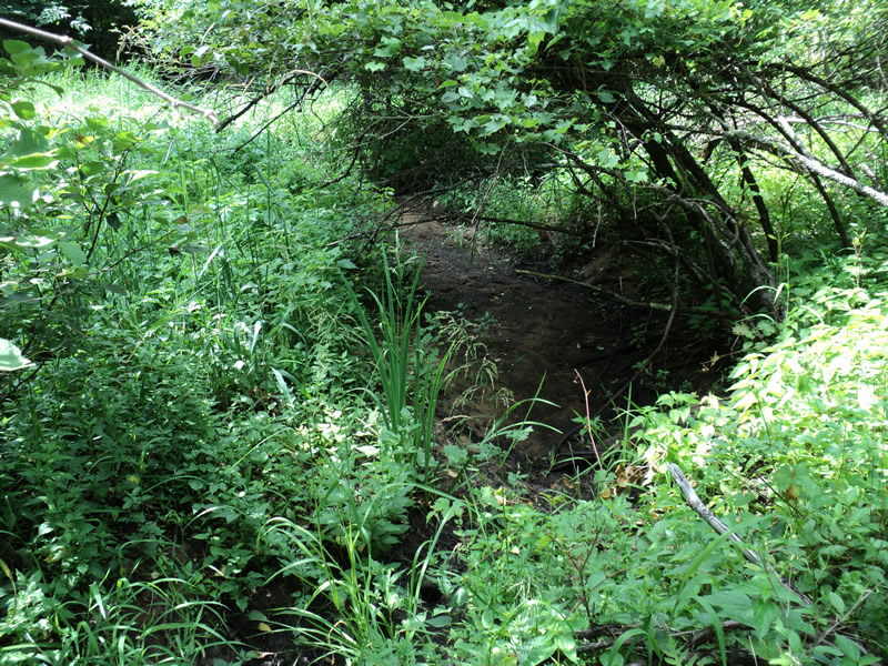
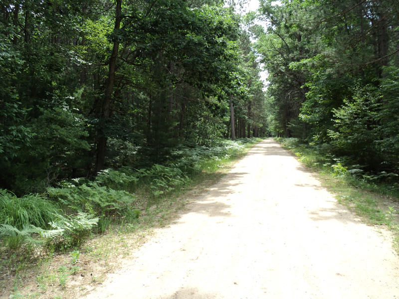
Upstream Conditions
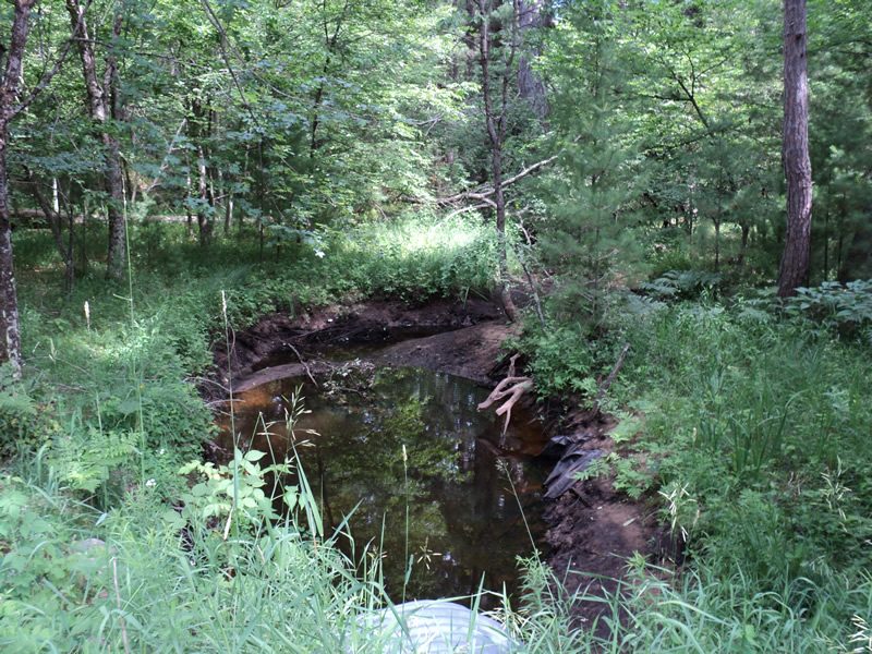
Downstream Conditions
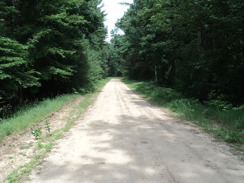
Road Approach - Left
Road Approach - Right
Crossing Information
Type of Crossing: culvert(s)
Number of Structures: 1
Structure Shape: Round
Inlet Type: Projecting
Outlet Type: At Stream Grade
Structure Material: Metal
Structure Substrate: Sand
General Conditions: Good
Structure Interior: corrugated
Dimensions of Structure: Length 50 ft.
, Width 4 ft.
, Height 4 ft.
Water Depth: 0 ft.
Water Velocity*: 0 ft./sec.
Water Depth: 0 ft.
Water Velocity*: 0 ft./sec.
*Water Velocities were measured at the Surface
(with Float Test)
Stream Information
Stream Flow: None
Scour Pool: Length 25 ft.
, Width 8 ft.
, Depth 2.5 ft.
Riffle Information
Water Depth: 0 ft.
Wetted Width: 0 ft.
Water Velocity: 0 ft./sec.
(Measured with Meter)
Dominant Substrate: Organics
Road Information
Gravel
County Road
Road Condition: Fair
Road Width at Culvert: 17 ft.
Location of Low Point: At Stream
Runoff Path: Roadway
Embankments
Upstream
Fill Depth: 1 ft.
Slope: 1:2
Downstream
Fill Depth: 1.2 ft.
Slope: 1:2
Approaches
Left Approach
Length: 220 ft.
Slope: 1% to 5%
Vegetation: Heavy
LS Factor: 0.434
Erosion: 0.4472 tons/year
Right Approach
Length: 150 ft.
Slope: Less Than 1%
Vegetation: Heavy
LS Factor: 0.05
Erosion: 0.0351 tons/year
Erosion Information
Total Erosion at Crossing: 0.4823 tons/year
Extent of Erosion: Moderate
Summary Information
Erosion is an area of concern for this site.
�