Road Stream Crossing Site PM_L081
Pere Marquette River Watershed, Sanborn Creek
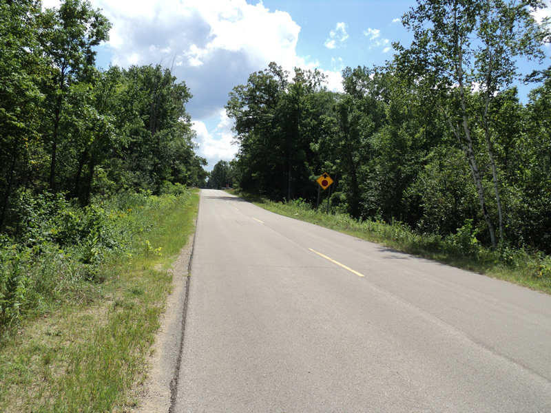
Foreman Rd
Cherry Valley Twp,
Lake County
Information collected by:
Site Location
GPS Coordinates: 43.903381
, -85.801785
T18N
R12W
Sec 31
Owned by Private
Structure is NOT Perched
Total Erosion: 0.1331 tons/year
Severity: Restored
Year Inventoried: 2014
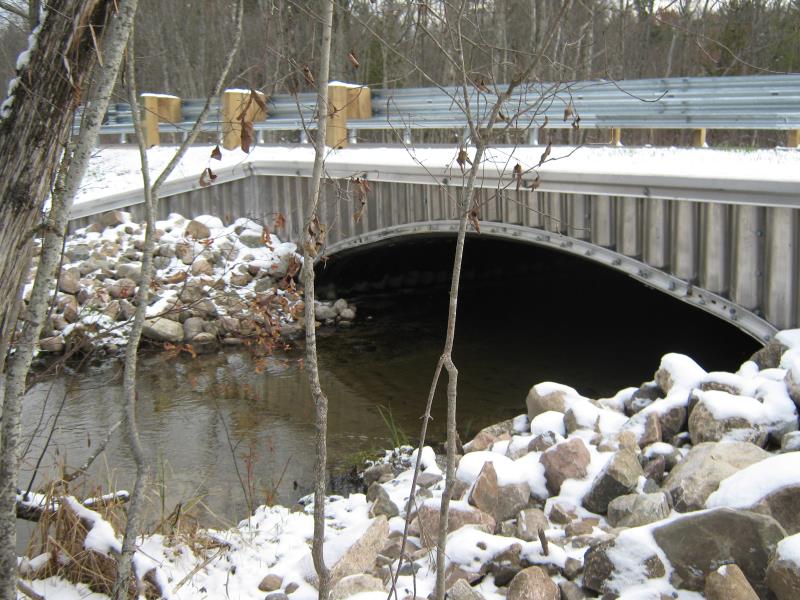
Inlet
Outlet
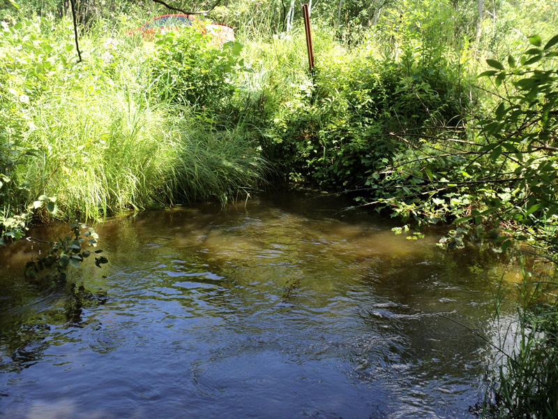
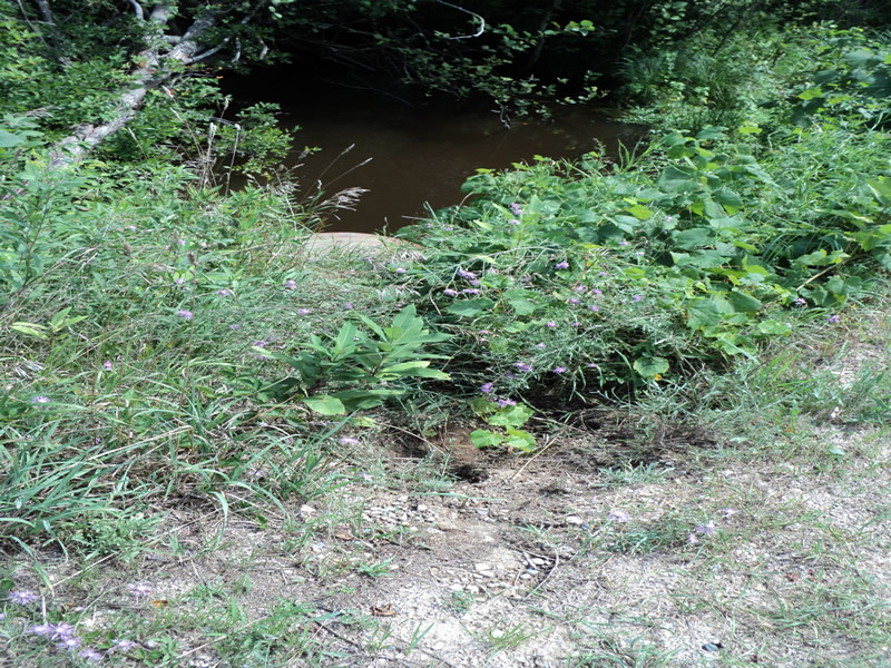
Upstream Conditions
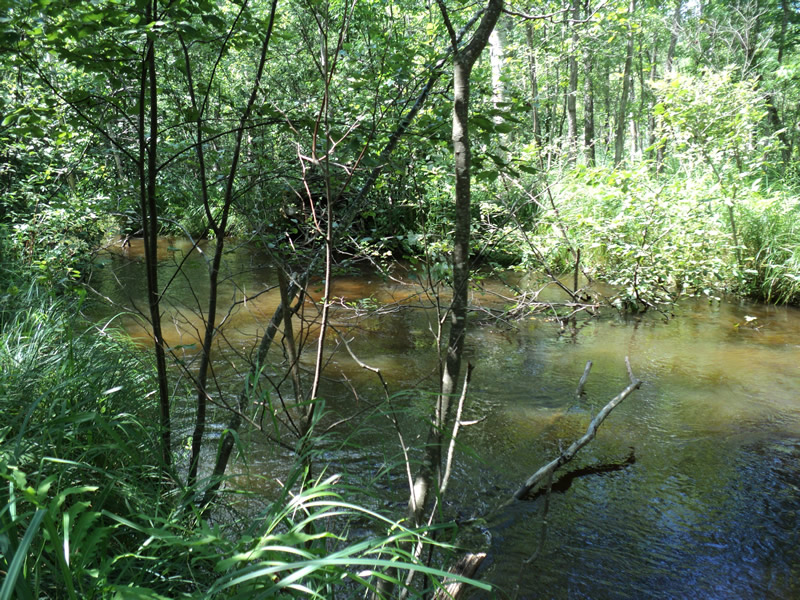
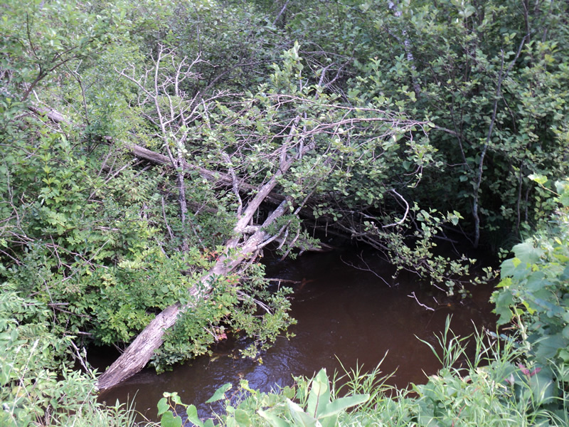
Downstream Conditions
Road Approach - Left
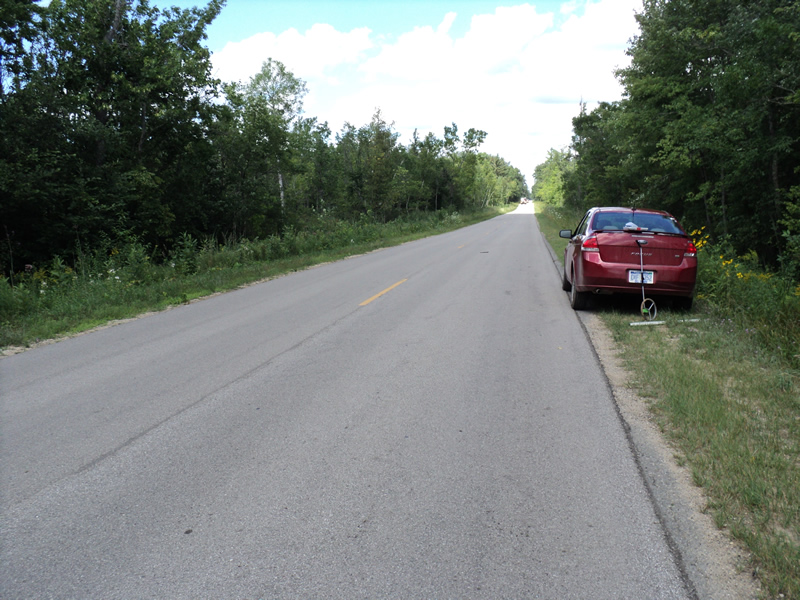
Road Approach - Right
Erosion
Crossing Information
Type of Crossing: culvert(s)
Number of Structures: 1
Structure Shape: Open Bottom Arch
Inlet Type: Wingwall 10-30 Degree
Outlet Type: At Stream Grade
Structure Material: Metal
Structure Substrate: Sand
General Conditions: New
Structure Interior: corrugated
Dimensions of Structure: Length 45 ft.
, Width 19.5 ft.
, Height 4.9 ft.
Structure is NOT Perched
Structure Inlet
Water Depth: 2.7 ft.
Embedded Depth of Structure: 0 ft.
Water Velocity*: 2.1 ft./sec.
Structure Outlet
Water Depth: 2.6 ft.
Embedded Depth of Structure: 0 ft.
Water Velocity*: 1.7 ft./sec.
*Water Velocities were measured 1.3 ft. below Surface
(with Meter)
Stream Information
Stream Flow: Less than Bankfull
Scour Pool: Length 0 ft.
, Width 0 ft.
, Depth 0 ft.
Upstream Pond: Length 20 ft.
, Width 20 ft.
, Depth 2 ft.
Riffle Information
Water Depth: 1.5 ft.
Bankfull Width: 22 ft.
Wetted Width: 18 ft.
Water Velocity: 0.9 ft./sec.
(Measured with Meter)
Dominant Substrate: Sand
Road Information
Paved
County Road
Road Condition: Good
Road Width at Culvert: 21 ft.
Location of Low Point: Other
Runoff Path: Roadway
Embankments
Upstream
Fill Depth: 4 ft.
Slope: 1:1
Downstream
Fill Depth: 4 ft.
Slope: 1:1.5
Approaches
Left Approach
Length: 300 ft.
Slope: 1% to 5%
Vegetation: Heavy
LS Factor: 0.46
Erosion: 0.0958 tons/year
Right Approach
Length: 125 ft.
Slope: Less Than 1%
Vegetation: Heavy
LS Factor: 0.05
Erosion: 0.0043 tons/year
Erosion Information
Total Erosion at Crossing: 0.1331 tons/year
Extent of Erosion: Minor
Erosion is occurring and corrective actions can be installed to address the problem.
Notes:
A lot of wetland and stream appears to be low gradient and that is likely why no scouring is occurring.
Summary Information
Fish Passage is an area of concern for this site.
Undersized culvert at the lower end of the subwatershed.
�