Road Stream Crossing Site PM_L083
Pere Marquette River Watershed, Sanborn Creek
Spruce St
Cherry Valley Twp,
Lake County
Information collected by:
Site Location
GPS Coordinates: 43.9072823371312
, -85.7420736551285
T18N
R12W
Sec 34
Owned by Private
Perch Height: 2 ft.
Total Erosion: 2.1062 tons/year
Severity: Restored
Year Inventoried: 2014
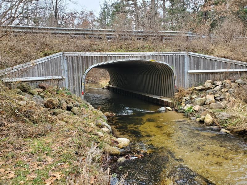
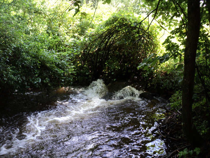
Inlet
Outlet
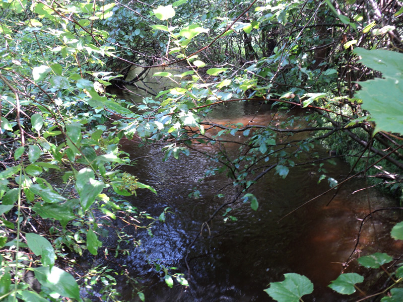
Upstream Conditions
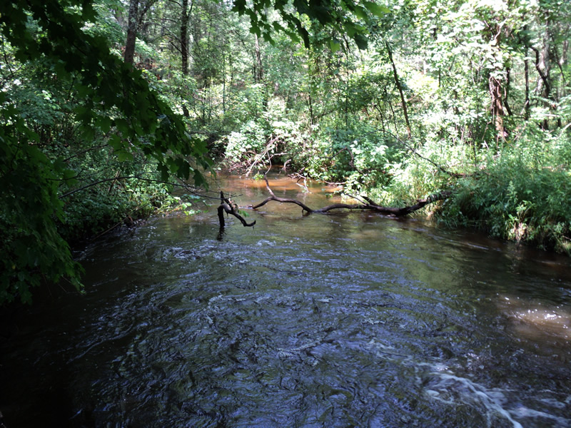
Downstream Conditions
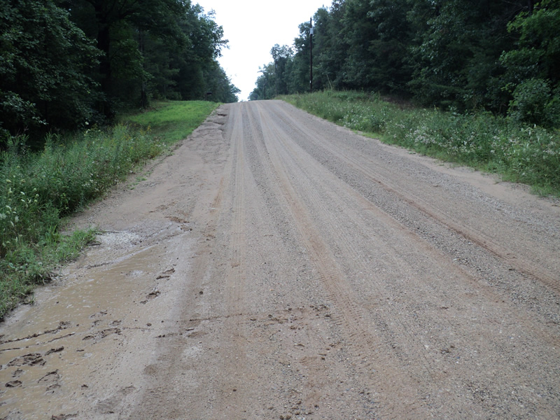
Road Approach - Left
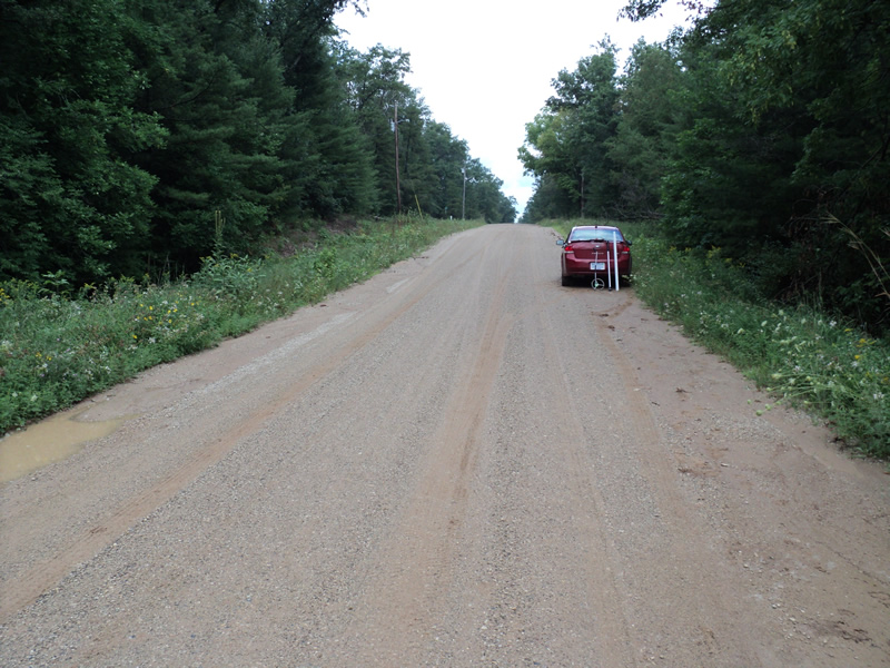
Road Approach - Right
Crossing Information
Type of Crossing: culvert(s)
Number of Structures: 1
Structure Shape: Open Bottom Arch
Inlet Type: Wingwall 10-30 Degree
Outlet Type: At Stream Grade
Structure Material: Metal
Structure Substrate: Mixture
General Conditions: New
Structure Interior: corrugated
Dimensions of Structure: Length 45 ft.
, Width 16.8 ft.
, Height 8.3 ft.
Perch Height: 2 ft.
Structure Inlet
Water Depth: 1.8 ft.
Embedded Depth of Structure: 0 ft.
Water Velocity*: 3.8 ft./sec.
Structure Outlet
Water Depth: 0.9 ft.
Embedded Depth of Structure: 0 ft.
Water Velocity*: 8.5 ft./sec.
*Water Velocities were measured 0.5 ft. below Surface
(with Meter)
Additional Comments
Rained on day of inventory work.
Stream Information
Stream Flow: Less than Bankfull
Scour Pool: Length 35 ft.
, Width 20 ft.
, Depth 3 ft.
Upstream Pond: Length 0 ft.
, Width 0 ft.
, Depth 0 ft.
Riffle Information
Water Depth: 1 ft.
Bankfull Width: 18 ft.
Wetted Width: 13 ft.
Water Velocity: 2 ft./sec.
(Measured with Meter)
Dominant Substrate: Sand
Road Information
Gravel
County Road
Road Condition: Fair
Road Width at Culvert: 22 ft.
Location of Low Point: At Stream
Runoff Path: Roadway
Embankments
Upstream
Fill Depth: 6 ft.
Slope: 1:1.5
Downstream
Fill Depth: 6 ft.
Slope: 1:2
Approaches
Left Approach
Length: 190 ft.
Slope: 1% to 5%
Vegetation: Heavy
LS Factor: 0.424
Erosion: 0.4882 tons/year
Right Approach
Length: 400 ft.
Slope: 1% to 5%
Vegetation: Heavy
LS Factor: 0.48
Erosion: 1.1636 tons/year
Erosion Information
Total Erosion at Crossing: 2.1062 tons/year
Extent of Erosion: Moderate
Notes:
There is a small hole in the road bed at the inlet that drains runoff through the embankment to near the culvert and into the stream.
Right Approach
400 ft.
22 ft.
0.1 ft.
yes
Sand
0.308
Summary Information
Fish Passage is an area of concern for this site.
Undersized culvert on high quality tributary between parallel roads where culverts are being replaced with bottomless structures.
�