Road Stream Crossing Site PM_L084
Pere Marquette River Watershed, Baldwin River tributary
Kings Highway
Newkirk Twp,
Lake County
Information collected by:
Site Location
GPS Coordinates: 43.987216
, -85.736841
T19N
R12W
Sec 34
Owned by Private
Fish Passability 0.9
Structure is NOT Perched
Total Erosion: 0.0104 tons/year
Severity: Minor
Year Inventoried: 2014
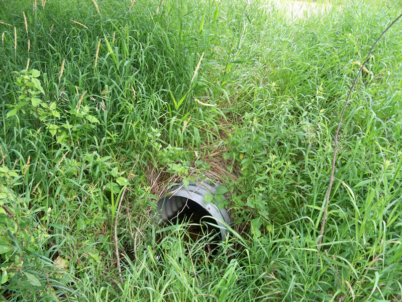
Inlet
Outlet
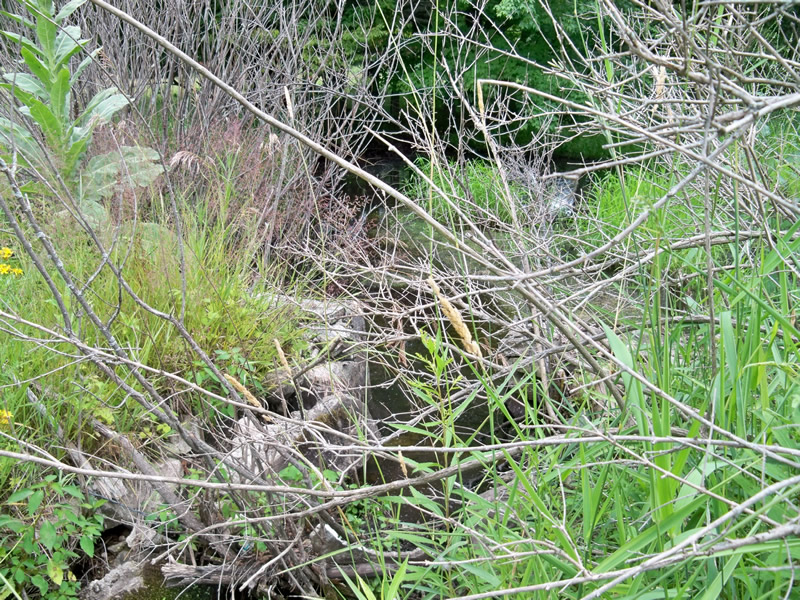
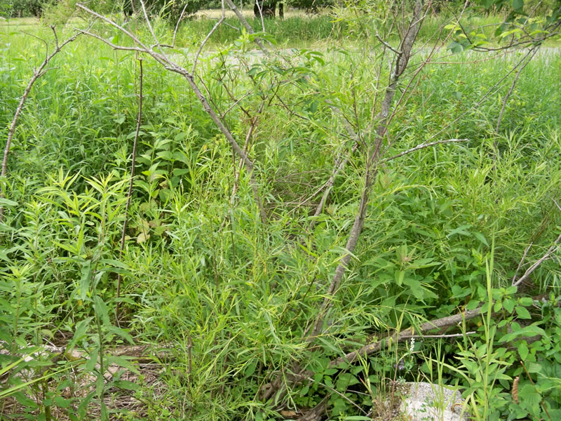
Upstream Conditions
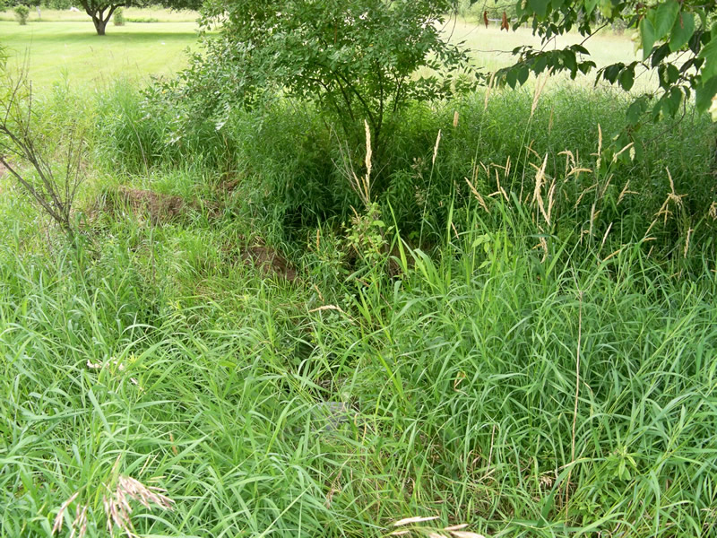
Downstream Conditions
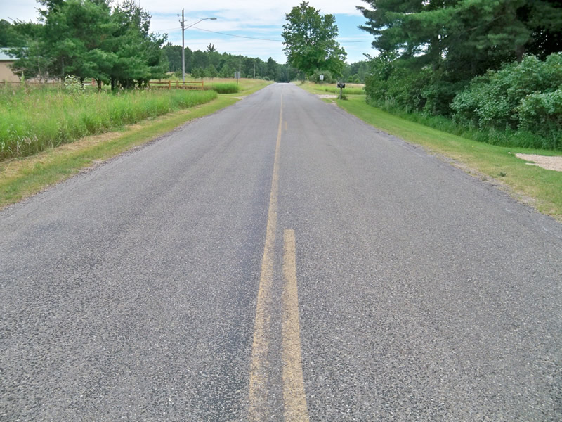
Road Approach - Left
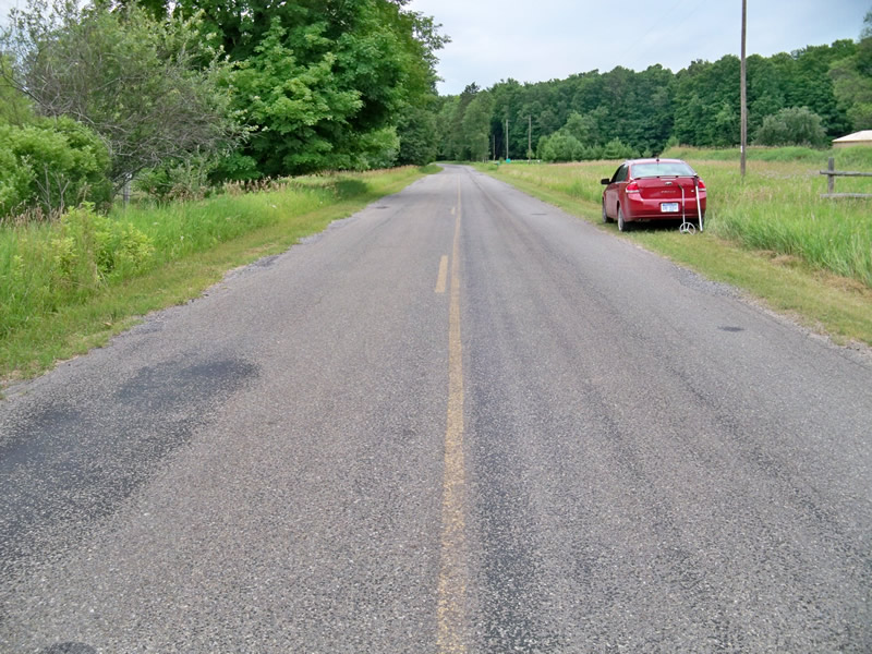
Road Approach - Right
Crossing Information
Type of Crossing: culvert(s)
Number of Structures: 1
Structure Shape: Round
Inlet Type: Projecting
Outlet Type: At Stream Grade
Structure Material: Metal
Structure Substrate: Gravel
General Conditions: Good
Structure Interior: corrugated
Dimensions of Structure: Length 50 ft.
, Width 2 ft.
, Height 2 ft.
Structure is NOT Perched
Structure Inlet
Water Depth: 0.25 ft.
Embedded Depth of Structure: 0.1 ft.
Water Velocity*: 0.3 ft./sec.
Structure Outlet
Water Depth: 0.25 ft.
Embedded Depth of Structure: 0.1 ft.
Water Velocity*: 0.9 ft./sec.
*Water Velocities were measured 0.25 ft. below Surface
(with Meter)
Stream Information
Stream Flow: Less than 1/2 Bankfull
Riffle Information
Water Depth: 0.5 ft.
Bankfull Width: 5 ft.
Wetted Width: 2 ft.
Water Velocity: 0.8 ft./sec.
(Measured with Meter)
Dominant Substrate: Sand
Road Information
Paved
County Road
Road Condition: Fair
Road Width at Culvert: 21 ft.
Location of Low Point: Other
Runoff Path: Roadway
Embankments
Upstream
Fill Depth: 1 ft.
Slope: More than 1:2
Downstream
Fill Depth: 1 ft.
Slope: More than 1:2
Approaches
Left Approach
Length: 150 ft.
Slope: Less Than 1%
Vegetation: Heavy
LS Factor: 0.05
Erosion: 0.0052 tons/year
Right Approach
Length: 150 ft.
Slope: Less Than 1%
Vegetation: Heavy
LS Factor: 0.05
Erosion: 0.0052 tons/year
Erosion Information
Total Erosion at Crossing: 0.0104 tons/year
Extent of Erosion: Stabilized
Summary Information
Fish Passability 0.9
A future visit to this site is recommended. Remnants of 2 dams immediately upstream on private land (Bear Paw Ranch). Pond immediately upstream is approximately 30'x30'x1' deep.
�