Road Stream Crossing Site PM_L085
Pere Marquette River Watershed, Baldwin River tributary
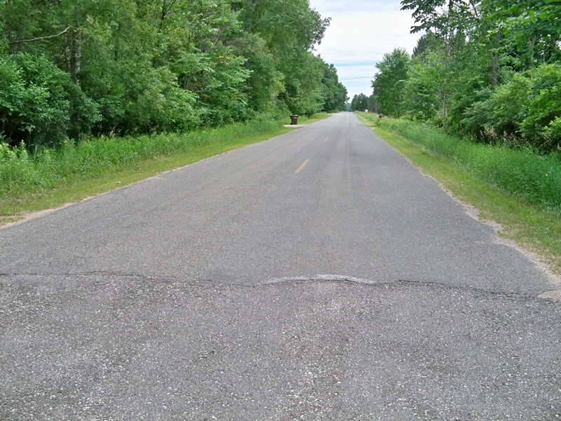
Kings Highway
Newkirk Twp,
Lake County
Information collected by:
Site Location
GPS Coordinates: 44.013605
, -85.732123
T19N
R12W
Sec 27
Owned by Private
Total Erosion: 0.0097 tons/year
Severity: Minor
Year Inventoried: 2014
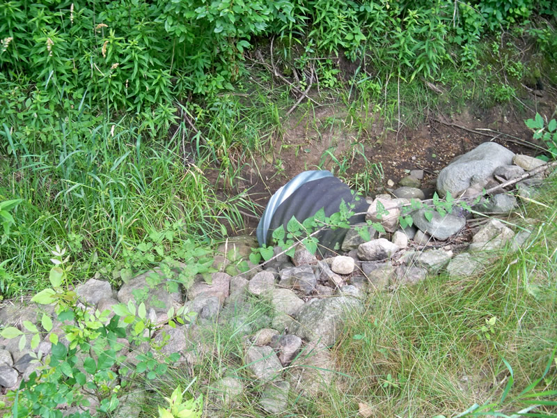
Inlet

Outlet
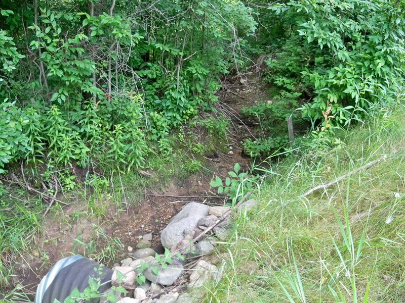
Upstream Conditions
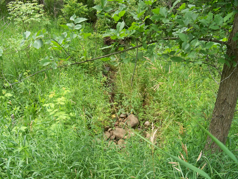
Downstream Conditions
Road Approach - Left
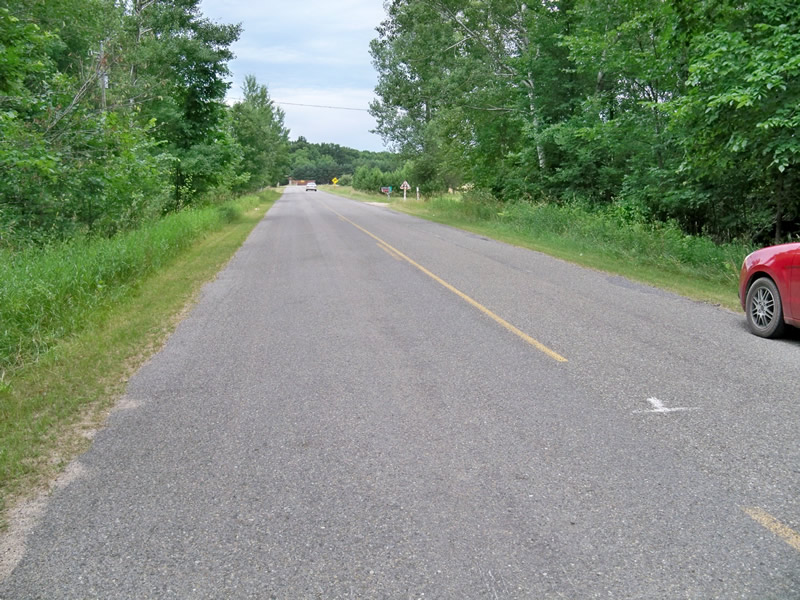
Road Approach - Right
Crossing Information
Type of Crossing: culvert(s)
Number of Structures: 1
Structure Shape: Round
Inlet Type: Projecting
Outlet Type: Cascade over Riprap
Structure Material: Metal
Structure Substrate: None
General Conditions: New
Structure Interior: corrugated
Dimensions of Structure: Length 60 ft.
, Width 2 ft.
, Height 2 ft.
Water Depth: 0 ft.
Embedded Depth of Structure: 0 ft.
Water Velocity*: 0 ft./sec.
Water Depth: 0 ft.
Embedded Depth of Structure: 0 ft.
Water Velocity*: 0 ft./sec.
(with Float Test)
Additional Comments
Seasonal flow crossing; stream channel dry but easily detected.
Stream Information
Stream Flow: None
Dominant Substrate: Organics
Road Information
Paved
County Road
Road Condition: Fair
Road Width at Culvert: 21 ft.
Location of Low Point: At Stream
Runoff Path: Roadway
Embankments
Upstream
Fill Depth: 4 ft.
Slope: 1:2
Downstream
Fill Depth: 5 ft.
Slope: 1:2
Approaches
Left Approach
Length: 150 ft.
Slope: Less Than 1%
Vegetation: Heavy
LS Factor: 0.05
Erosion: 0.0052 tons/year
Right Approach
Length: 130 ft.
Slope: Less Than 1%
Vegetation: Heavy
LS Factor: 0.05
Erosion: 0.0045 tons/year
Erosion Information
Total Erosion at Crossing: 0.0097 tons/year
Extent of Erosion: Stabilized
Summary Information
Erosion is an area of concern for this site.
�