Road Stream Crossing Site PM_L087
Pere Marquette River Watershed, Baldwin River
Cedar Rd
Newkirk Twp,
Lake County
Information collected by:
Site Location
GPS Coordinates: 44.030068
, -85.712349
T19N
R12W
Sec 23
Owned by Private
Perch Height: 0.5 ft.
Total Erosion: 2.4705 tons/year
Severity: Severe
Year Inventoried: 2014
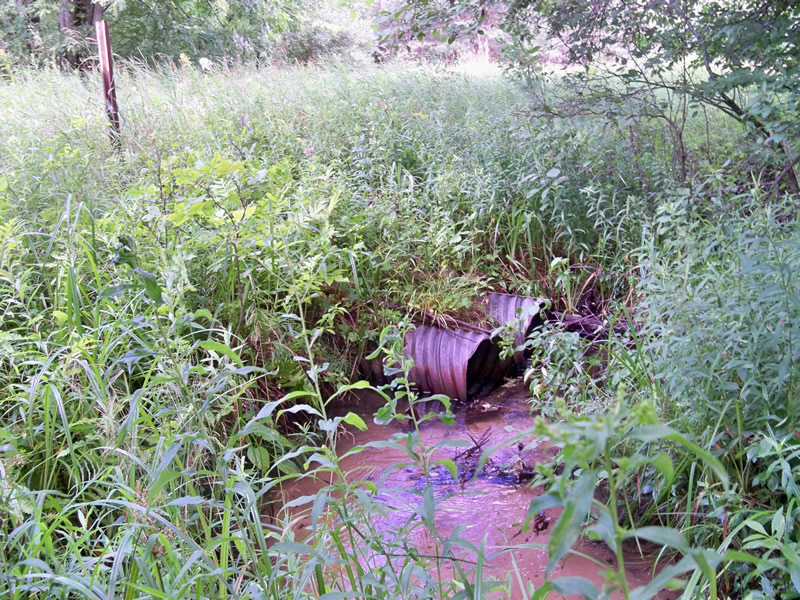
Inlet
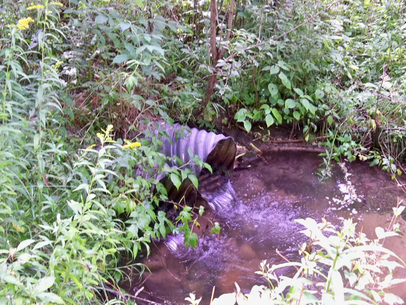
Outlet
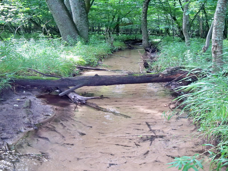
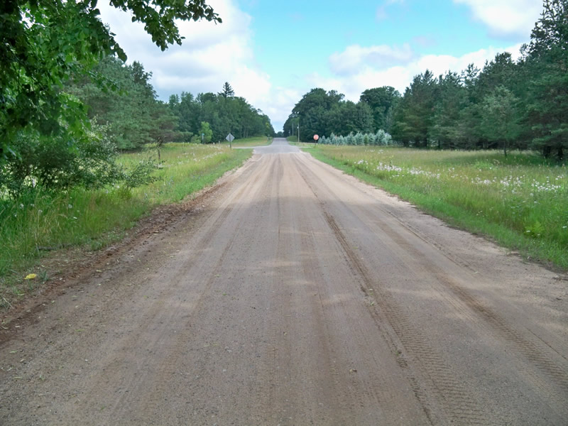
Upstream Conditions
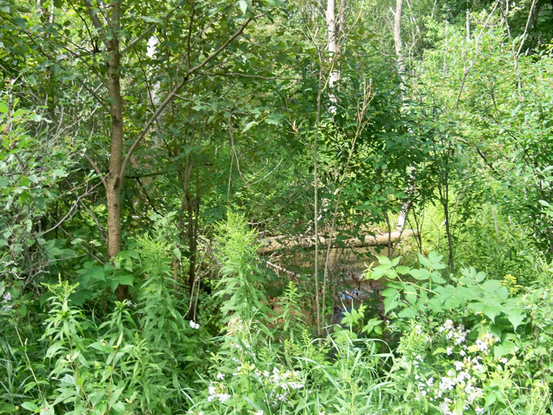
Downstream Conditions
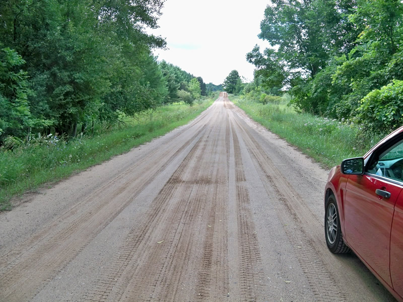
Road Approach - Left
Road Approach - Right
Crossing Information
Type of Crossing: culvert(s)
Number of Structures: 2
Structure Shape: Round
Inlet Type: Projecting
Outlet Type: Freefall into Pool
Structure Material: Metal
Structure Substrate: None
General Conditions: Fair
Structure Interior: corrugated
Dimensions of Structure: Length 45 ft.
, Width 1.6 ft.
, Height 1.6 ft.
Perch Height: 0.5 ft.
Structure Inlet
Water Depth: 0.4 ft.
Embedded Depth of Structure: 0 ft.
Water Velocity*: 1.3 ft./sec.
Structure Outlet
Water Depth: 0.4 ft.
Embedded Depth of Structure: 0 ft.
Water Velocity*: 1.3 ft./sec.
*Water Velocities were measured 0.2 ft. below Surface
(with Meter)
Stream Information
Stream Flow: Less than Bankfull
Scour Pool: Length 8 ft.
, Width 6 ft.
, Depth 1 ft.
Riffle Information
Water Depth: 0.3 ft.
Bankfull Width: 8 ft.
Wetted Width: 5 ft.
Water Velocity: 0.6 ft./sec.
(Measured with Meter)
Dominant Substrate: Sand
Road Information
Gravel
County Road
Road Condition: Fair
Road Width at Culvert: 23 ft.
Location of Low Point: At Stream
Runoff Path: Roadway
Embankments
Upstream
Fill Depth: 2 ft.
Slope: 1:1.5
Downstream
Fill Depth: 2 ft.
Slope: 1:2
Approaches
Left Approach
Length: 600 ft.
Slope: 1% to 5%
Vegetation: Heavy
LS Factor: 0.52
Erosion: 1.9769 tons/year
Right Approach
Length: 100 ft.
Slope: Less Than 1%
Vegetation: Heavy
LS Factor: 0.05
Erosion: 0.0317 tons/year
Erosion Information
Total Erosion at Crossing: 2.4705 tons/year
Extent of Erosion: Moderate
Erosion is occurring and corrective actions can be installed to address the problem.
Notes:
Road shoulders eroding.
Summary Information
Fish Passage is an area of concern for this site.
However, stream is very shallow and sandy upstream.
A future visit to this site is recommended.
Current is hitting the side of the culvert at the inlet.
�