Road Stream Crossing Site PM_L089
Pere Marquette River Watershed, Unknown tributary to Baldwin River
Twin Creek Rd
Cherry Valley Twp,
Lake County
Information collected by:
Site Location
GPS Coordinates: 43.92934
, -85.78188
T18N
R12W
Sec 30
Owned by Private
Fish Passability 0.5
Structure is NOT Perched
Total Erosion: 4.007 tons/year
Severity: Severe
Year Inventoried: 2014
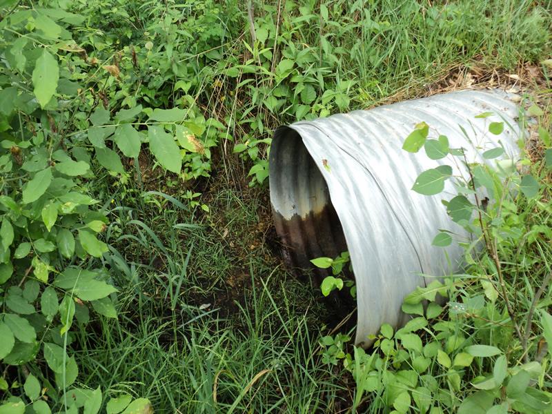
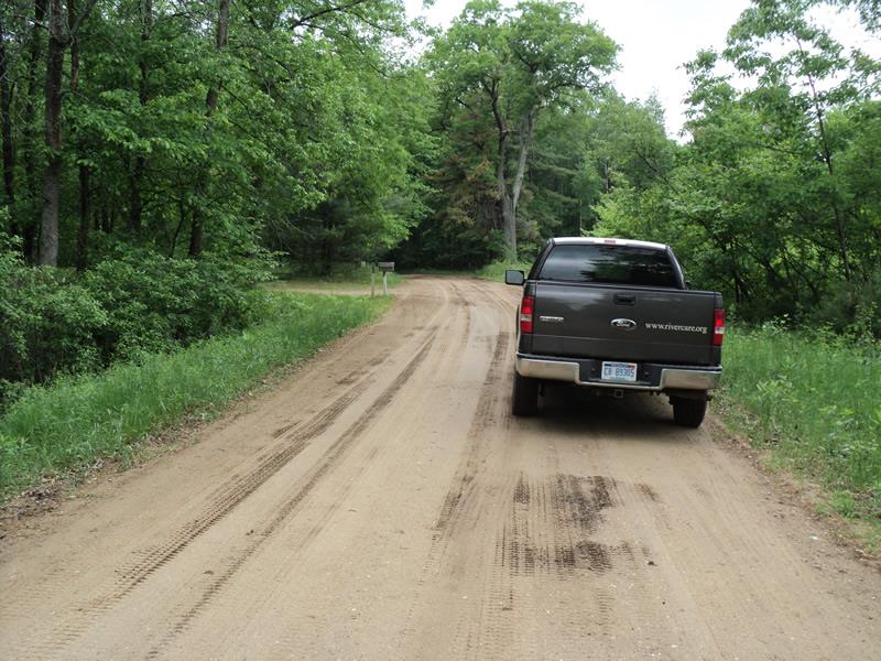
Inlet
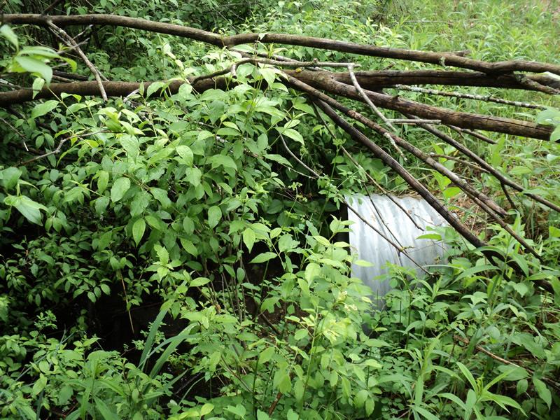
Outlet
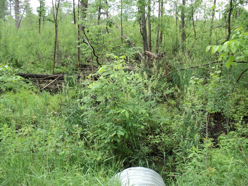
Upstream Conditions
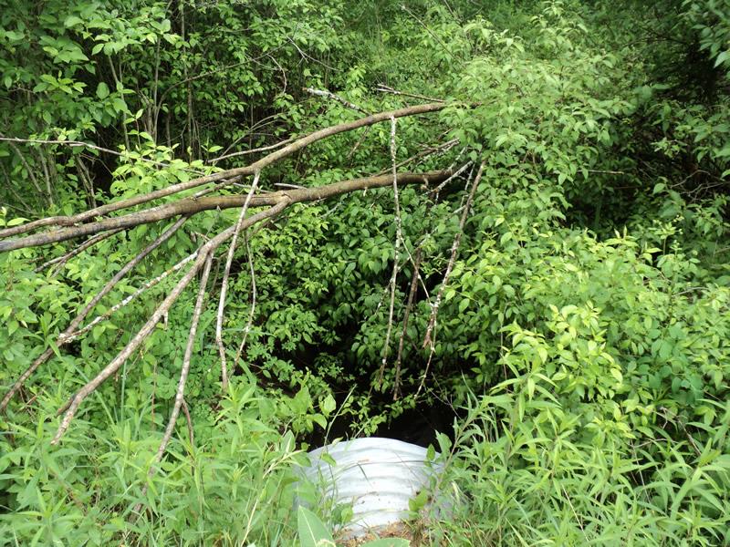
Downstream Conditions
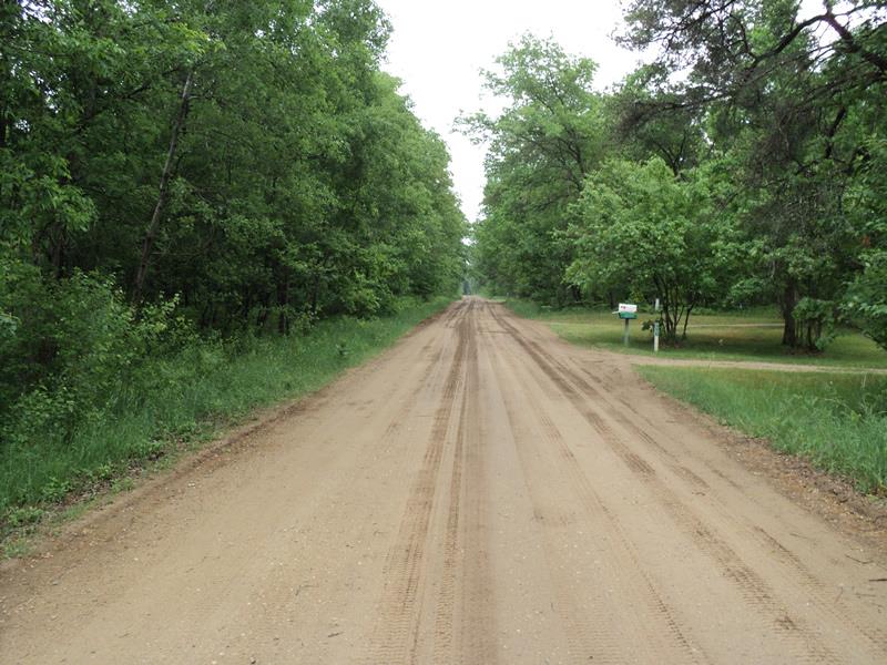
Road Approach - Left
Road Approach - Right
Crossing Information
Type of Crossing: culvert(s)
Number of Structures: 1
Structure Shape: Round
Inlet Type: Projecting
Outlet Type: At Stream Grade
Structure Material: Metal
Structure Substrate: None
General Conditions: Good
Structure Interior: corrugated
Dimensions of Structure: Length 30 ft.
, Width 2.5 ft.
, Height 2.5 ft.
Structure is NOT Perched
Water Depth: 0 ft.
Embedded Depth of Structure: 0 ft.
Water Velocity*: 0 ft./sec.
Water Depth: 0 ft.
Embedded Depth of Structure: 0 ft.
Water Velocity*: 0 ft./sec.
*Water Velocities were measured at the Surface
Additional Comments
No water in culvert
Stream Information
Stream Flow: None
Scour Pool: Length 0 ft.
, Width 0 ft.
, Depth 0 ft.
Upstream Pond: Length 0 ft.
, Width 0 ft.
, Depth 0 ft.
Riffle Information
Water Depth: 0 ft.
Bankfull Width: 0 ft.
Wetted Width: 0 ft.
Water Velocity: 0 ft./sec.
Road Information
Gravel
County Road
Road Condition: Fair
Road Width at Culvert: 18 ft.
Location of Low Point: At Stream
Runoff Path: Roadway
Embankments
Upstream
Fill Depth: 0.3 ft.
Slope: More than 1:2
Downstream
Fill Depth: 0.6 ft.
Slope: More than 1:2
Approaches
Left Approach
Length: 1000 ft.
Slope: 1% to 5%
Vegetation: Heavy
LS Factor: 0.57
Erosion: 2.8264 tons/year
Right Approach
Length: 480 ft.
Slope: 1% to 5%
Vegetation: Heavy
LS Factor: 0.496
Erosion: 1.1806 tons/year
Erosion Information
Total Erosion at Crossing: 4.007 tons/year
Summary Information
Fish Passability 0.5
�