Road Stream Crossing Site PM_L090
Pere Marquette River Watershed, Unknown tributary to Baldwin River
S Broadway Rd
Cherry Valley Twp,
Lake County
Information collected by:
Site Location
GPS Coordinates: 43.93069
, -85.77193
T18N
R12W
Sec 20
Owned by Private
Fish Passability 1
Structure is NOT Perched
Total Erosion: 3.3719 tons/year
Severity: Severe
Year Inventoried: 2014
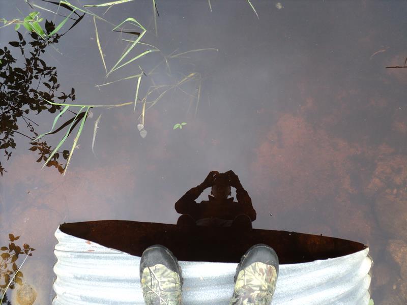
Inlet
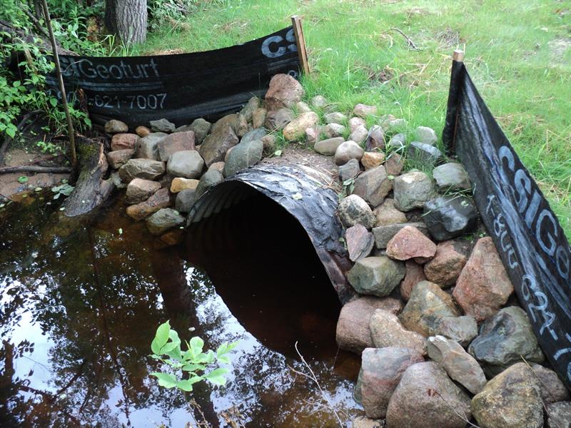
Outlet
Upstream Conditions
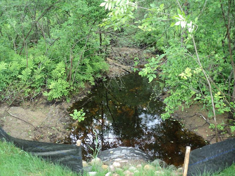
Downstream Conditions
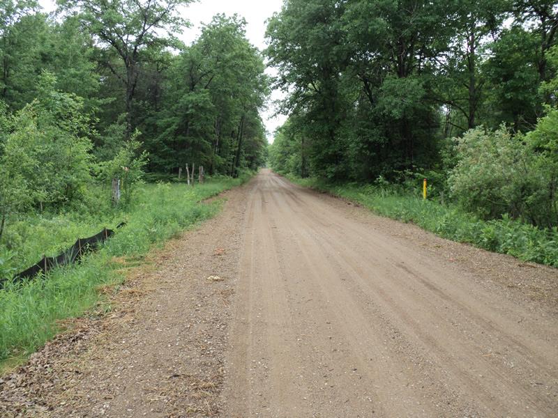
Road Approach - Left
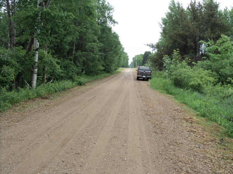
Road Approach - Right
Crossing Information
Type of Crossing: culvert(s)
Number of Structures: 1
Structure Shape: Round
Inlet Type: Projecting
Outlet Type: At Stream Grade
Structure Material: Metal
Structure Substrate: Sand
General Conditions: Fair
Structure Interior: corrugated
Dimensions of Structure: Length 42 ft.
, Width 3.5 ft.
, Height 3.5 ft.
Structure is NOT Perched
Structure Inlet
Water Depth: 2 ft.
Embedded Depth of Structure: 0.2 ft.
Water Velocity*: 0.1 ft./sec.
Structure Outlet
Water Depth: 1.5 ft.
Embedded Depth of Structure: 0.3 ft.
Water Velocity*: 0.1 ft./sec.
*Water Velocities were measured 0.3 ft. below Surface
(with Meter)
Stream Information
Stream Flow: Less than Bankfull
Scour Pool: Length 0 ft.
, Width 0 ft.
, Depth 0 ft.
Upstream Pond: Length 0 ft.
, Width 0 ft.
, Depth 0 ft.
Riffle Information
Water Depth: 0.4 ft.
Bankfull Width: 6 ft.
Wetted Width: 3 ft.
Water Velocity: 0.1 ft./sec.
(Measured with Meter)
Dominant Substrate: Gravel
Road Information
Gravel
County Road
Road Condition: Fair
Road Width at Culvert: 15 ft.
Location of Low Point: At Stream
Runoff Path: Roadway
Embankments
Upstream
Fill Depth: 1.6 ft.
Slope: More than 1:2
Downstream
Fill Depth: 1.6 ft.
Slope: More than 1:2
Approaches
Left Approach
Length: 600 ft.
Slope: 1% to 5%
Vegetation: Partial
LS Factor: 0.68
Erosion: 1.686 tons/year
Right Approach
Length: 600 ft.
Slope: 1% to 5%
Vegetation: Partial
LS Factor: 0.68
Erosion: 1.686 tons/year
Erosion Information
Total Erosion at Crossing: 3.3719 tons/year
Summary Information
Fish Passability 1
�